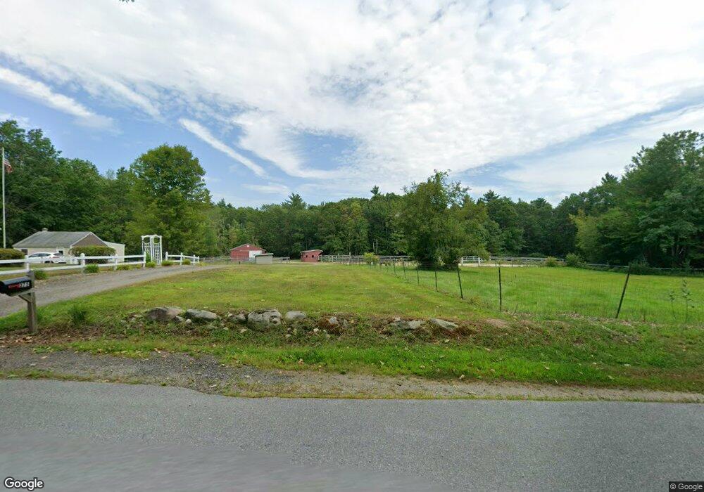
263 Robbins Rd Rindge, NH 03461
Estimated Value: $715,000 - $953,000
3
Beds
3
Baths
3,906
Sq Ft
$217/Sq Ft
Est. Value
About This Home
This home is located at 263 Robbins Rd, Rindge, NH 03461 and is currently estimated at $848,030, approximately $217 per square foot. 263 Robbins Rd is a home with nearby schools including Rindge Memorial School, Conant Middle High School, and Conant High School.
Ownership History
Date
Name
Owned For
Owner Type
Purchase Details
Closed on
Feb 6, 2020
Sold by
Favart Edward E
Bought by
Edward E E and Edward A K
Current Estimated Value
Purchase Details
Closed on
Sep 27, 2007
Sold by
Tenney Rodney N
Bought by
Favart Edward E
Create a Home Valuation Report for This Property
The Home Valuation Report is an in-depth analysis detailing your home's value as well as a comparison with similar homes in the area
Home Values in the Area
Average Home Value in this Area
Purchase History
| Date | Buyer | Sale Price | Title Company |
|---|---|---|---|
| Edward E E | -- | None Available | |
| Favart Edward E | $100,000 | -- |
Source: Public Records
Mortgage History
| Date | Status | Borrower | Loan Amount |
|---|---|---|---|
| Previous Owner | Favart Edward E | $216,000 | |
| Previous Owner | Favart Edward E | $50,000 | |
| Previous Owner | Favart Edward E | $240,000 |
Source: Public Records
Tax History Compared to Growth
Tax History
| Year | Tax Paid | Tax Assessment Tax Assessment Total Assessment is a certain percentage of the fair market value that is determined by local assessors to be the total taxable value of land and additions on the property. | Land | Improvement |
|---|---|---|---|---|
| 2024 | $13,037 | $515,108 | $44,508 | $470,600 |
| 2023 | $12,910 | $515,584 | $44,984 | $470,600 |
| 2022 | $11,874 | $515,584 | $44,984 | $470,600 |
| 2021 | $11,787 | $520,384 | $44,984 | $475,400 |
| 2020 | $11,691 | $520,748 | $45,348 | $475,400 |
| 2019 | $10,893 | $392,388 | $37,088 | $355,300 |
| 2018 | $10,798 | $392,668 | $37,368 | $355,300 |
| 2017 | $10,664 | $392,220 | $36,920 | $355,300 |
| 2016 | $10,947 | $392,220 | $36,920 | $355,300 |
| 2015 | $10,939 | $392,220 | $36,920 | $355,300 |
| 2014 | $9,710 | $373,020 | $60,320 | $312,700 |
| 2013 | $9,397 | $369,108 | $60,908 | $308,200 |
Source: Public Records
Map
Nearby Homes
- 22 Daria Dr
- 759 Brown St
- Lot 14 Saybrook Dr
- Lot 15-0 Saybrook Dr
- Lot 2 Saybrook Dr
- 0 Thomas Rd Unit 10 5014817
- Lot 1 Saybrook Dr
- 40 Maple Dr
- 706 Brown St
- 115 Brook Side Rd Unit 2-12
- 801 Rt 12 S
- Lot 64 Lincoln Ave
- 156 Bayberry Cir
- 102 Pearl St
- 45 Camp Cir
- 257 Lakeside Dr
- 108 Highland St
- 174 Mill St
- 29 Winter St
- 74 Fern Cir
- 350 Robbins Rd
- 356 Robbins Rd
- 357 Robbins Rd Unit 1
- 357 Robbins Rd
- 322 Robbins Rd
- 380 Robbins Rd
- 313 Robbins Rd
- 300 Robbins Rd
- 46 Damon Mill Rd
- 59 Damon Mill Rd
- 321 Robbins Rd
- 293 Robbins Rd
- 60 Damon Mill Rd
- 284 Robbins Rd
- 405 Robbins Rd
- 11 Liberty Ln
- 420 Robbins Rd
- 275 Robbins Rd
- 423 Robbins Rd
- 70 Robbins Rd