Estimated Value: $215,361 - $640,000
Studio
--
Bath
--
Sq Ft
4,008
Sq Ft Lot
About This Home
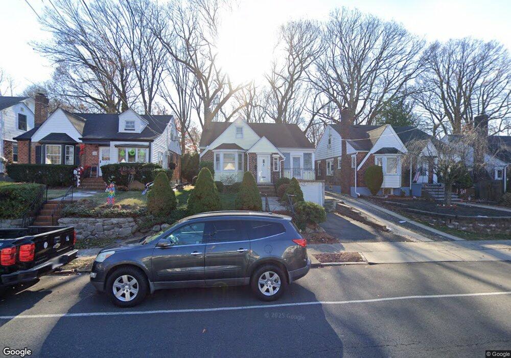
This home is located at 263 Salem Rd, Union, NJ 07083 and is currently estimated at $517,840. 263 Salem Rd is a home located in Union County with nearby schools including Washington Elementary School, Union High School, and Kindercare Learning Center.
Ownership History
Date
Name
Owned For
Owner Type
Purchase Details
Closed on
Jul 17, 2003
Sold by
Daniels Beth
Bought by
Daniels Harry
Current Estimated Value
Home Financials for this Owner
Home Financials are based on the most recent Mortgage that was taken out on this home.
Original Mortgage
$177,000
Outstanding Balance
$76,385
Interest Rate
5.46%
Estimated Equity
$441,455
Purchase Details
Closed on
Apr 15, 1999
Sold by
Remo Linda
Bought by
Daniels Harry P and Daniels Beth Z
Home Financials for this Owner
Home Financials are based on the most recent Mortgage that was taken out on this home.
Original Mortgage
$127,900
Interest Rate
7.04%
Purchase Details
Closed on
Nov 21, 1997
Sold by
Mahon Shelley and Remo Linda
Bought by
Remo Linda
Home Financials for this Owner
Home Financials are based on the most recent Mortgage that was taken out on this home.
Original Mortgage
$112,500
Interest Rate
7.14%
Create a Home Valuation Report for This Property
The Home Valuation Report is an in-depth analysis detailing your home's value as well as a comparison with similar homes in the area
Home Values in the Area
Average Home Value in this Area
Purchase History
| Date | Buyer | Sale Price | Title Company |
|---|---|---|---|
| Daniels Harry | -- | -- | |
| Daniels Harry P | $159,900 | -- | |
| Remo Linda | $23,000 | -- |
Source: Public Records
Mortgage History
| Date | Status | Borrower | Loan Amount |
|---|---|---|---|
| Open | Daniels Harry | $177,000 | |
| Previous Owner | Daniels Harry P | $127,900 | |
| Previous Owner | Remo Linda | $112,500 |
Source: Public Records
Tax History
| Year | Tax Paid | Tax Assessment Tax Assessment Total Assessment is a certain percentage of the fair market value that is determined by local assessors to be the total taxable value of land and additions on the property. | Land | Improvement |
|---|---|---|---|---|
| 2025 | $9,298 | $41,600 | $16,000 | $25,600 |
| 2024 | $9,014 | $41,600 | $16,000 | $25,600 |
| 2023 | $9,014 | $41,600 | $16,000 | $25,600 |
| 2022 | $8,701 | $41,600 | $16,000 | $25,600 |
| 2021 | $8,490 | $41,600 | $16,000 | $25,600 |
| 2020 | $8,321 | $41,600 | $16,000 | $25,600 |
| 2019 | $8,209 | $41,600 | $16,000 | $25,600 |
| 2018 | $8,069 | $41,600 | $16,000 | $25,600 |
| 2017 | $7,950 | $41,600 | $16,000 | $25,600 |
| 2016 | $7,756 | $41,600 | $16,000 | $25,600 |
| 2015 | $7,627 | $41,600 | $16,000 | $25,600 |
| 2014 | $7,456 | $41,600 | $16,000 | $25,600 |
Source: Public Records
Map
Nearby Homes
- 318 Delaware Ave
- 277 Newark Ave
- 341 Forest Dr
- 346 Tucker Ave
- 214 Washington Ave
- 381 Dogwood Dr
- 399 Martin Rd
- 437 Bailey Ave
- 255 Tucker Ave Unit 124
- 52 E Sumner Ave
- 444 Wheaton Rd
- 385 Colonial Ave
- 128 E Roselle Ave
- 825 Elm St
- 578 Winchester Ave
- 545 Homer Terrace
- 587 Thoreau Terrace
- 731 Woodland Ave
- 569 Scotland Rd
- 159 Wyoming Ave
Your Personal Tour Guide
Ask me questions while you tour the home.