263 Stonewall Dr Eureka, MO 63025
Estimated Value: $960,000 - $1,100,568
4
Beds
4
Baths
4,424
Sq Ft
$237/Sq Ft
Est. Value
About This Home
This home is located at 263 Stonewall Dr, Eureka, MO 63025 and is currently estimated at $1,047,642, approximately $236 per square foot. 263 Stonewall Dr is a home located in St. Louis County with nearby schools including Blevins Elementary School, Lasalle Springs Middle School, and Eureka Senior High School.
Ownership History
Date
Name
Owned For
Owner Type
Purchase Details
Closed on
Apr 22, 2021
Sold by
Payne Family Homes Llc
Bought by
Sandlin Leslie P and Sandlin Angela K
Current Estimated Value
Home Financials for this Owner
Home Financials are based on the most recent Mortgage that was taken out on this home.
Original Mortgage
$772,667
Outstanding Balance
$698,183
Interest Rate
3.05%
Mortgage Type
VA
Estimated Equity
$349,459
Purchase Details
Closed on
Nov 5, 2015
Sold by
Crescent Farms South Llc
Bought by
Payne Family Homes Llc
Home Financials for this Owner
Home Financials are based on the most recent Mortgage that was taken out on this home.
Original Mortgage
$2,175,000
Interest Rate
3.9%
Mortgage Type
Construction
Create a Home Valuation Report for This Property
The Home Valuation Report is an in-depth analysis detailing your home's value as well as a comparison with similar homes in the area
Home Values in the Area
Average Home Value in this Area
Purchase History
| Date | Buyer | Sale Price | Title Company |
|---|---|---|---|
| Sandlin Leslie P | $772,667 | Arch City Title | |
| Payne Family Homes Llc | $1,814,500 | Arch City Title Cm |
Source: Public Records
Mortgage History
| Date | Status | Borrower | Loan Amount |
|---|---|---|---|
| Open | Sandlin Leslie P | $772,667 | |
| Previous Owner | Payne Family Homes Llc | $2,175,000 |
Source: Public Records
Tax History
| Year | Tax Paid | Tax Assessment Tax Assessment Total Assessment is a certain percentage of the fair market value that is determined by local assessors to be the total taxable value of land and additions on the property. | Land | Improvement |
|---|---|---|---|---|
| 2025 | $11,009 | $163,100 | $23,750 | $139,350 |
| 2024 | $11,009 | $150,690 | $13,300 | $137,390 |
| 2023 | $11,014 | $150,690 | $13,300 | $137,390 |
| 2022 | $11,045 | $140,890 | $28,500 | $112,390 |
| 2021 | $2,216 | $28,500 | $28,500 | $0 |
| 2020 | $2,312 | $28,500 | $28,500 | $0 |
| 2019 | $2,319 | $28,500 | $28,500 | $0 |
| 2018 | $2,455 | $28,500 | $28,500 | $0 |
| 2016 | $2,456 | $28,500 | $28,500 | $0 |
Source: Public Records
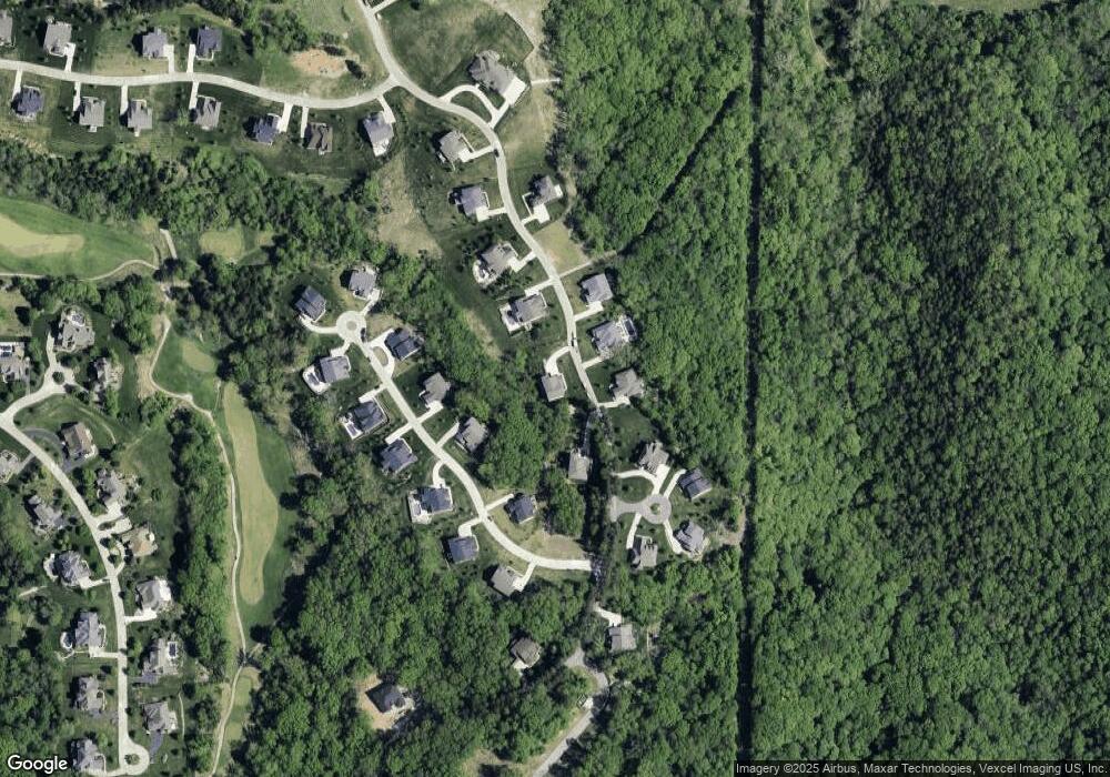
Map
Nearby Homes
- 316 Barn Side Ln
- 320 Stonewall Dr
- 60 the Bluffs Dr Unit 60
- 54 the Bluffs Dr Unit 54
- 15811 Jedberg Rd Unit A
- 15811 Jedberg Ln
- 800 Holland Rd
- 1513 Wolf Trail Rd
- 1455 Ridge Rd
- 0 Unknown Unit MIS26004384
- 125 Towne Square Ct Unit 4E
- 637 N Virginia Ave
- 118 Towne Square Ct Unit D4
- 944 Emerald Oaks Ct
- 1115 Ridge Rd
- 659 Castlecliff Rd
- 16 Rockwood Forest Glen
- 318 Kevin Jon Ct
- 329 Kevin Jon Ct
- 369 Cerny Ave
- 263 Stonewall Dr
- 267 Stonewall Dr
- 226 Pevely Farms Dr
- 259 Stonewall Dr
- 259 Stonewall Uc Dr
- 230 Pevely Farms Dr
- 268 Stonewall Dr
- 264 Stonewall Dr
- 271 Stonewall Dr
- 234 Pevely Farms Dr
- 7 Reservoir Ct
- 272 Stonewall Dr
- 222 Pevely Farms Dr
- 222 Pevely Farms Dr
- 1TBB McKinley @ Pevely Farms
- 1TBB Musial @ Pevely Farms
- 1TBB Clark @ Pevely Farms
- 1TBB Eads @ Pevely Farms
- 223 Pevely Farms Dr
- 275 Stonewall Dr
Your Personal Tour Guide
Ask me questions while you tour the home.