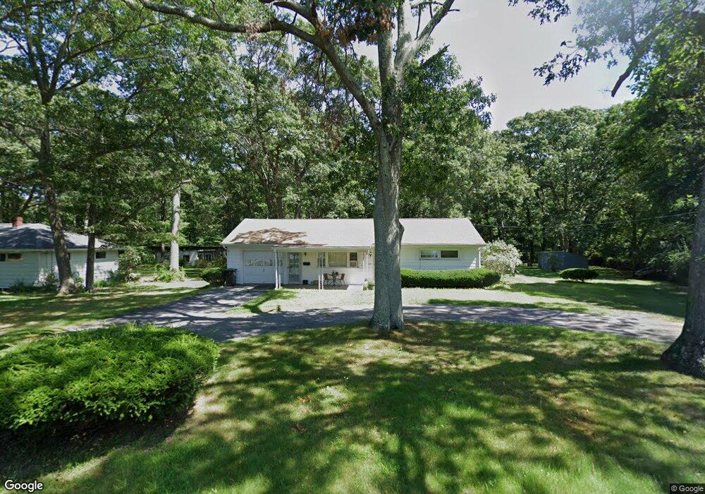
263 Swansom Rd Swansea, MA 02777
Northeast Swansea NeighborhoodEstimated Value: $429,402 - $446,000
2
Beds
2
Baths
864
Sq Ft
$504/Sq Ft
Est. Value
About This Home
This home is located at 263 Swansom Rd, Swansea, MA 02777 and is currently estimated at $435,851, approximately $504 per square foot. 263 Swansom Rd is a home located in Bristol County with nearby schools including Joseph Case High School, Swansea Wood School, and SCEC Life Academy.
Create a Home Valuation Report for This Property
The Home Valuation Report is an in-depth analysis detailing your home's value as well as a comparison with similar homes in the area
Home Values in the Area
Average Home Value in this Area
Tax History Compared to Growth
Tax History
| Year | Tax Paid | Tax Assessment Tax Assessment Total Assessment is a certain percentage of the fair market value that is determined by local assessors to be the total taxable value of land and additions on the property. | Land | Improvement |
|---|---|---|---|---|
| 2025 | $4,458 | $374,000 | $187,000 | $187,000 |
| 2024 | $4,460 | $372,000 | $187,000 | $185,000 |
| 2023 | $4,178 | $318,200 | $139,700 | $178,500 |
| 2022 | $4,166 | $289,500 | $128,000 | $161,500 |
| 2021 | $3,992 | $255,400 | $128,000 | $127,400 |
| 2020 | $4,037 | $259,100 | $128,000 | $131,100 |
| 2019 | $3,823 | $246,500 | $115,400 | $131,100 |
| 2018 | $3,678 | $240,700 | $113,700 | $127,000 |
| 2017 | $3,196 | $240,700 | $113,700 | $127,000 |
| 2016 | $3,005 | $222,300 | $99,400 | $122,900 |
| 2015 | $2,773 | $211,200 | $99,400 | $111,800 |
| 2014 | $2,729 | $212,500 | $99,400 | $113,100 |
Source: Public Records
Map
Nearby Homes
- 0 Bark St Unit 1342599
- 0 Bark St Unit 73152576
- 265 Stevens Rd
- 33 Rhinecliffe Rd
- 51 Linden Dr
- 58 Randall Ave
- 197 Alberta Ave
- 745 Bark St
- 34 Base Lodge Ln
- 80 Meadow Ln
- 66 Meadow Ln
- 60 Aetna St
- 34 Doherty Ave
- 1496 Riverside Ave
- 54 Grant Ave
- 95 Brookside Rd
- 24 Front St
- 30 Front St
- 675 Lees River Ave
- 2396 Riverside Ave