2630 Bird Rock Place Turlock, CA 95380
Estimated Value: $235,000 - $504,000
3
Beds
2
Baths
1,622
Sq Ft
$263/Sq Ft
Est. Value
About This Home
This home is located at 2630 Bird Rock Place, Turlock, CA 95380 and is currently estimated at $426,984, approximately $263 per square foot. 2630 Bird Rock Place is a home located in Stanislaus County with nearby schools including Walter M. Brown Elementary School, Turlock Junior High School, and Marvin A. Dutcher Middle School.
Ownership History
Date
Name
Owned For
Owner Type
Purchase Details
Closed on
May 7, 2016
Sold by
Pettit Robert L
Bought by
Pettit Robert L and Pettit Cheryl L
Current Estimated Value
Purchase Details
Closed on
Aug 8, 2012
Sold by
Pettit Robert
Bought by
Pettit Robert L and Pettit Cheryl L
Purchase Details
Closed on
Nov 9, 2011
Sold by
Mcroy Wilbur Communities Inc
Bought by
Pettit Robert and Pettit Cheryl
Create a Home Valuation Report for This Property
The Home Valuation Report is an in-depth analysis detailing your home's value as well as a comparison with similar homes in the area
Home Values in the Area
Average Home Value in this Area
Purchase History
| Date | Buyer | Sale Price | Title Company |
|---|---|---|---|
| Pettit Robert L | -- | None Available | |
| Pettit Robert L | -- | None Available | |
| Pettit Robert L | -- | None Available | |
| Pettit Robert | $190,000 | Chicago Title Company |
Source: Public Records
Tax History Compared to Growth
Tax History
| Year | Tax Paid | Tax Assessment Tax Assessment Total Assessment is a certain percentage of the fair market value that is determined by local assessors to be the total taxable value of land and additions on the property. | Land | Improvement |
|---|---|---|---|---|
| 2025 | $3,525 | $238,627 | $87,918 | $150,709 |
| 2024 | $3,486 | $233,949 | $86,195 | $147,754 |
| 2023 | $3,519 | $229,362 | $84,505 | $144,857 |
| 2022 | $3,467 | $224,866 | $82,849 | $142,017 |
| 2021 | $3,370 | $220,458 | $81,225 | $139,233 |
| 2020 | $3,333 | $218,199 | $80,393 | $137,806 |
| 2019 | $3,260 | $213,921 | $78,817 | $135,104 |
| 2018 | $3,243 | $209,727 | $77,272 | $132,455 |
| 2017 | $3,163 | $205,615 | $75,757 | $129,858 |
| 2016 | $2,999 | $201,584 | $74,272 | $127,312 |
| 2015 | $2,959 | $198,557 | $73,157 | $125,400 |
| 2014 | $2,919 | $194,668 | $71,724 | $122,944 |
Source: Public Records
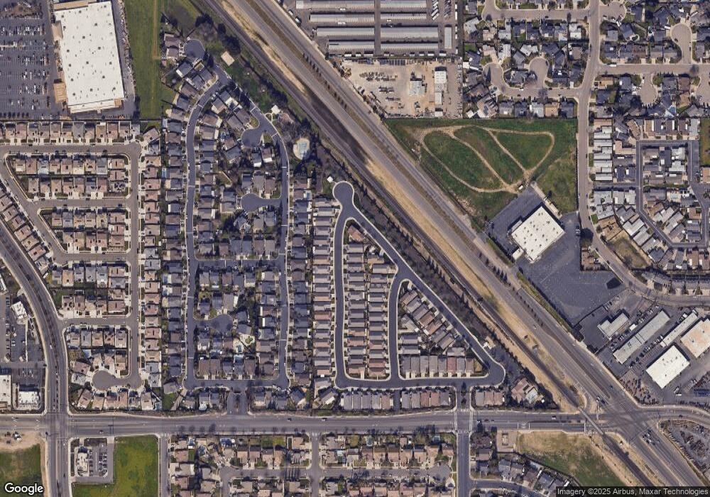
Map
Nearby Homes
- 2620 Bird Rock Place
- 2800 Craftsman St
- 2391 Typhoon Dr
- 2531 Craftsman St
- 2226 Typhoon Ct
- 2141 Royal Wood Ln
- 1827 Shadow Park Dr
- 2430 Trellis Ln
- 2123 Spring Blossom Ln
- 1531 Yorktown Ct
- 2500 Hampton Way
- 3300 Spring Garden Dr
- 3293 Dewar Ln
- 3367 Four Seasons Dr
- 2985 Radford Way
- 1305 Trinity Way
- 3000 W Tuolumne Rd
- 2700 Oxford Ave
- 2400 Fulkerth Rd
- 2500 Yale Ct
- 2650 Bird Rock Place
- 2600 Bird Rock Place
- 2621 Cypress Point Dr
- 2580 Bird Rock Place
- 2601 Cypress Point Dr
- 2631 Bird Rock Place
- 2621 Bird Rock Place
- 2581 Sea Lion Way
- 2560 Bird Rock Place
- 2601 Bird Rock Place
- 2671 Bird Rock Place
- 2581 Bird Rock Place
- 2561 Sea Lion Way
- 2540 Bird Rock Place
- 0 Sea Lion Way
- 2681 Bird Rock Place
- 2561 Bird Rock Place
- 0 Bird Rock Place
- 2541 Sea Lion Way
- 2620 Carnival Dr