Estimated Value: $288,000 - $509,000
3
Beds
3
Baths
3,715
Sq Ft
$107/Sq Ft
Est. Value
About This Home
This home is located at 2630 Stout Rd, Lucas, OH 44843 and is currently estimated at $396,572, approximately $106 per square foot. 2630 Stout Rd is a home located in Richland County with nearby schools including Lucas Elementary School, Lucas Heritage Middle School, and Lucas High School.
Ownership History
Date
Name
Owned For
Owner Type
Purchase Details
Closed on
Oct 15, 2020
Sold by
Phillips Roxan L and Shafer Geraldine C
Bought by
Shafer Edward S
Current Estimated Value
Home Financials for this Owner
Home Financials are based on the most recent Mortgage that was taken out on this home.
Original Mortgage
$235,653
Outstanding Balance
$206,425
Interest Rate
2.9%
Mortgage Type
Future Advance Clause Open End Mortgage
Estimated Equity
$190,147
Purchase Details
Closed on
Feb 13, 2018
Sold by
Shafer Virgil J and Shafer Geraldine G
Bought by
Shafer Virigil J and Shafer Geraldine C
Create a Home Valuation Report for This Property
The Home Valuation Report is an in-depth analysis detailing your home's value as well as a comparison with similar homes in the area
Purchase History
| Date | Buyer | Sale Price | Title Company |
|---|---|---|---|
| Shafer Edward S | $185,000 | Chicago Title | |
| Shafer Virigil J | -- | None Available |
Source: Public Records
Mortgage History
| Date | Status | Borrower | Loan Amount |
|---|---|---|---|
| Open | Shafer Edward S | $235,653 |
Source: Public Records
Tax History
| Year | Tax Paid | Tax Assessment Tax Assessment Total Assessment is a certain percentage of the fair market value that is determined by local assessors to be the total taxable value of land and additions on the property. | Land | Improvement |
|---|---|---|---|---|
| 2024 | $4,212 | $112,380 | $20,260 | $92,120 |
| 2023 | $4,724 | $112,380 | $20,260 | $92,120 |
| 2022 | $3,053 | $64,780 | $18,110 | $46,670 |
| 2021 | $3,060 | $64,780 | $18,110 | $46,670 |
| 2020 | $4,463 | $90,990 | $18,110 | $72,880 |
| 2019 | $3,514 | $77,580 | $15,350 | $62,230 |
| 2018 | $3,617 | $77,580 | $15,350 | $62,230 |
| 2017 | $1,827 | $77,810 | $15,580 | $62,230 |
| 2016 | $3,710 | $79,680 | $14,190 | $65,490 |
| 2015 | $3,710 | $79,680 | $14,190 | $65,490 |
| 2014 | $3,728 | $79,680 | $14,190 | $65,490 |
| 2012 | $3,672 | $79,680 | $14,190 | $65,490 |
Source: Public Records
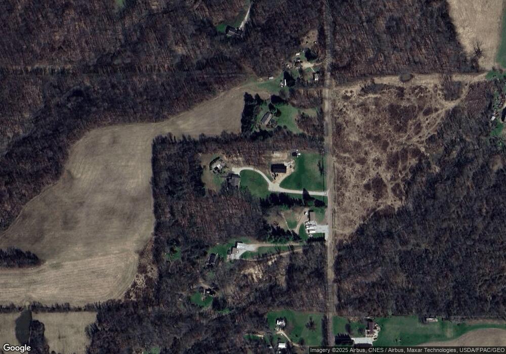
Map
Nearby Homes
- 2778 Lucas Perrysville Rd
- 27 E Main St
- 2221 Pleasant Valley Rd
- 2130 State Route 39
- 1661 State Route 603
- 1851 State Route 39
- 3386 Trumpower Rd
- 0 Mount Zion Rd Unit 9069748
- 3405 Hastings Newville Rd
- 2732 Township Road 1087
- 2420 Mansfield Washington Rd
- 0 State Route 39 & I-71 Northeast Quadrant
- 0 State Route 39 & I-71 Southeast Quadrant
- 1715 Mansfield Lucas Rd
- 0 Peterson Rd
- 2515 Peterson Rd
- 4977 Teeter Rd
- 400 Garver Rd
- 3362 Possum Run Rd
- 159 E 3rd St
- 2660 Stout Rd
- 2600 Stout Rd
- 2662 Stout Rd
- 2646 Stout Rd
- 2664 Stout Rd
- 2554 Stout Rd
- 2720 Stout Rd
- 2532 Stout Rd
- 2715 Stout Rd
- 2498 Stout Rd
- 3368 Lucas Perrysville Rd
- 3115 Gladden Rd
- 3069 Gladden Rd
- 2820 Stout Rd
- 3120 Gladden Rd
- 3158 Gladden Rd
- 3251 Gladden Rd
- 2841 Stout Rd
- 3331 Lucas Perrysville Rd
- 3060 Gladden Rd
Your Personal Tour Guide
Ask me questions while you tour the home.