2631 State Route 131 Fayetteville, OH 45118
Lake Lorelei NeighborhoodEstimated Value: $297,000 - $448,924
3
Beds
3
Baths
1,915
Sq Ft
$203/Sq Ft
Est. Value
About This Home
This home is located at 2631 State Route 131, Fayetteville, OH 45118 and is currently estimated at $389,481, approximately $203 per square foot. 2631 State Route 131 is a home located in Brown County with nearby schools including Fayetteville-Perry Elementary School, Fayetteville-Perry Middle School, and Fayetteville-Perry High School.
Ownership History
Date
Name
Owned For
Owner Type
Purchase Details
Closed on
Jan 11, 2022
Sold by
Donald South
Bought by
South Donald
Current Estimated Value
Purchase Details
Closed on
Apr 20, 2010
Sold by
South Michelle
Bought by
South Donald
Purchase Details
Closed on
Apr 19, 2006
Sold by
South Donald G
Bought by
South Donald G and South Michelle R
Home Financials for this Owner
Home Financials are based on the most recent Mortgage that was taken out on this home.
Original Mortgage
$196,000
Interest Rate
6.56%
Mortgage Type
New Conventional
Purchase Details
Closed on
Dec 31, 2001
Sold by
Sutherland Janet L
Bought by
South Donald G
Home Financials for this Owner
Home Financials are based on the most recent Mortgage that was taken out on this home.
Original Mortgage
$34,650
Interest Rate
6.53%
Mortgage Type
New Conventional
Create a Home Valuation Report for This Property
The Home Valuation Report is an in-depth analysis detailing your home's value as well as a comparison with similar homes in the area
Home Values in the Area
Average Home Value in this Area
Purchase History
| Date | Buyer | Sale Price | Title Company |
|---|---|---|---|
| South Donald | $125 | New Title Company Name | |
| South Donald | -- | None Available | |
| South Donald G | -- | Security Title Services Llc | |
| South Donald G | $38,500 | -- |
Source: Public Records
Mortgage History
| Date | Status | Borrower | Loan Amount |
|---|---|---|---|
| Previous Owner | South Donald G | $196,000 | |
| Previous Owner | South Donald G | $34,650 |
Source: Public Records
Tax History Compared to Growth
Tax History
| Year | Tax Paid | Tax Assessment Tax Assessment Total Assessment is a certain percentage of the fair market value that is determined by local assessors to be the total taxable value of land and additions on the property. | Land | Improvement |
|---|---|---|---|---|
| 2024 | $3,766 | $114,330 | $27,470 | $86,860 |
| 2023 | $3,766 | $93,010 | $22,700 | $70,310 |
| 2022 | $3,274 | $93,010 | $22,700 | $70,310 |
| 2021 | $3,241 | $93,010 | $22,700 | $70,310 |
| 2020 | $2,912 | $80,880 | $19,740 | $61,140 |
| 2019 | $2,892 | $80,880 | $19,740 | $61,140 |
| 2018 | $3,013 | $80,880 | $19,740 | $61,140 |
| 2017 | $2,604 | $67,850 | $20,560 | $47,290 |
| 2016 | $2,652 | $67,850 | $20,560 | $47,290 |
| 2015 | $2,682 | $67,850 | $20,560 | $47,290 |
| 2014 | $2,676 | $65,980 | $18,690 | $47,290 |
| 2013 | $2,682 | $65,980 | $18,690 | $47,290 |
Source: Public Records
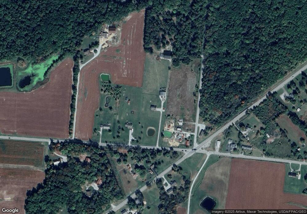
Map
Nearby Homes
- 2824 US Rt 50
- 1564 Fredrickstrasser Dr
- 1431 Oder Dr
- 1513 Hindenburg Dr
- 19910 Vera Cruz Rd
- 1476 Oder Dr
- 1387 Schmidt Dr
- 114 Munster Dr
- 113 Munster Dr
- 16 Lorelei Dr
- 455 Kleist Dr
- 20 Lorelei Dr
- 90 Lorelei Dr
- 423 Lorelei Dr
- 1343 Oder Dr
- 3836 Highway 50
- 291 Schlitz Dr
- 153 Dortmund Dr
- 351 Leipzig Dr
- 219 Schlitz Dr
- 2607 State Route 131
- 2659 State Route 131
- 2579 St Rt 131
- 2579 Ohio 131
- 2743 Us Highway 50
- 2743 Us Highway 50
- 2701 St Rt 131
- 2701 State Route 131
- 2824 US Highway 50
- 2752 Us Highway 50
- 1484 Oder Dr
- 1482 Oder Dr
- 2725 State Route 131
- 1478 Oder Dr
- 1488 Oder Dr
- 2536 State Route 131
- 2720 Us Highway 50
- 2868 Us Route 50
- 1685 Lorelei Dr
- Lt 1676 Oder Dr