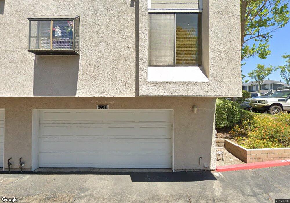
26311 W Grove Cir Unit 37 Lake Forest, CA 92630
Estimated Value: $772,000 - $871,000
3
Beds
2
Baths
1,351
Sq Ft
$608/Sq Ft
Est. Value
About This Home
This home is located at 26311 W Grove Cir Unit 37, Lake Forest, CA 92630 and is currently estimated at $821,262, approximately $607 per square foot. 26311 W Grove Cir Unit 37 is a home located in Orange County with nearby schools including Lake Forest Elementary School, Serrano Intermediate School, and El Toro High School.
Ownership History
Date
Name
Owned For
Owner Type
Purchase Details
Closed on
Aug 10, 2022
Sold by
Snyder Stanley C and Snyder Rebecca S
Bought by
Snyder Family Trust
Current Estimated Value
Purchase Details
Closed on
Jul 20, 2004
Sold by
Hancock Loren W and Hancock Twila J
Bought by
Snyder Stanley C and Snyder Rebecca S
Home Financials for this Owner
Home Financials are based on the most recent Mortgage that was taken out on this home.
Original Mortgage
$344,000
Interest Rate
5.75%
Mortgage Type
New Conventional
Purchase Details
Closed on
Sep 23, 1998
Sold by
Loren Hancock and Loren Twila J
Bought by
Hancock Loren W and Hancock Twila J
Create a Home Valuation Report for This Property
The Home Valuation Report is an in-depth analysis detailing your home's value as well as a comparison with similar homes in the area
Home Values in the Area
Average Home Value in this Area
Purchase History
| Date | Buyer | Sale Price | Title Company |
|---|---|---|---|
| Snyder Family Trust | -- | None Listed On Document | |
| Snyder Stanley C | $430,000 | Old Republic Title Company | |
| Hancock Loren W | -- | -- |
Source: Public Records
Mortgage History
| Date | Status | Borrower | Loan Amount |
|---|---|---|---|
| Previous Owner | Snyder Stanley C | $344,000 | |
| Closed | Snyder Stanley C | $86,000 |
Source: Public Records
Tax History Compared to Growth
Tax History
| Year | Tax Paid | Tax Assessment Tax Assessment Total Assessment is a certain percentage of the fair market value that is determined by local assessors to be the total taxable value of land and additions on the property. | Land | Improvement |
|---|---|---|---|---|
| 2025 | $6,106 | $599,375 | $440,526 | $158,849 |
| 2024 | $6,106 | $587,623 | $431,888 | $155,735 |
| 2023 | $5,961 | $576,101 | $423,419 | $152,682 |
| 2022 | $5,581 | $538,560 | $402,805 | $135,755 |
| 2021 | $5,469 | $528,000 | $394,906 | $133,094 |
| 2020 | $5,476 | $528,000 | $394,906 | $133,094 |
| 2019 | $5,474 | $528,000 | $394,906 | $133,094 |
| 2018 | $5,166 | $498,000 | $379,429 | $118,571 |
| 2017 | $4,668 | $451,000 | $332,429 | $118,571 |
| 2016 | $4,683 | $451,000 | $332,429 | $118,571 |
| 2015 | $4,421 | $425,000 | $306,429 | $118,571 |
| 2014 | $3,924 | $379,000 | $260,429 | $118,571 |
Source: Public Records
Map
Nearby Homes
- 26344 W Grove Cir Unit 65
- 22212 Summit Hill Dr Unit 18
- 26425 Sandy Creek
- 22421 Rippling Brook
- 22322 Silent Brook
- 22292 Silent Brook
- 25885 Trabuco Rd Unit 206
- 25885 Trabuco Rd Unit 91
- 25885 Trabuco Rd Unit 306
- 25885 Trabuco Rd Unit 57
- 25885 Trabuco Rd Unit 33
- 25885 Trabuco Rd Unit 226
- 25885 Trabuco Rd Unit 271
- 21906 Bellcroft Dr
- 25912 Densmore Dr
- 25712 Le Parc Unit 93
- 25712 Le Parc Unit 7
- 25761 Le Parc Unit 89
- 22201 Center Pointe Unit 2D
- 22081 Broken Bow Dr
- 26317 W Grove Cir Unit 40
- 26317 W Grove Cir
- 26315 W Grove Cir Unit 39
- 26319 W Grove Cir Unit 41
- 26313 W Grove Cir Unit 38
- 26321 W Grove Cir Unit 42
- 22192 Summit Hill Dr
- 26323 W Grove Cir Unit 43
- 26323 W Grove Cir
- 26318 W Grove Cir Unit 69
- 26318 W Grove Cir
- 26325 W Grove Cir Unit 44
- 26316 W Grove Cir Unit 70
- 26314 W Grove Cir Unit 71
- 22217 Summit Hill Dr
- 26312 W Grove Cir Unit 72
- 26336 W Grove Cir Unit 68
- 22215 Summit Hill Dr Unit 35
- 22211 Summit Hill Dr Unit 34
- 22211 Summit Hill Dr