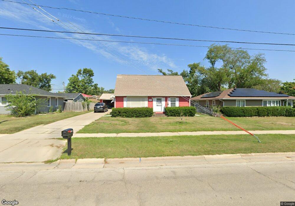
2632 E Ave NW Cedar Rapids, IA 52405
Estimated Value: $187,356 - $228,000
4
Beds
2
Baths
1,436
Sq Ft
$145/Sq Ft
Est. Value
About This Home
This home is located at 2632 E Ave NW, Cedar Rapids, IA 52405 and is currently estimated at $207,589, approximately $144 per square foot. 2632 E Ave NW is a home located in Linn County with nearby schools including Cleveland Elementary School, Roosevelt Creative Corridor Business Academy, and Thomas Jefferson High School.
Ownership History
Date
Name
Owned For
Owner Type
Purchase Details
Closed on
Apr 11, 2013
Sold by
Gates Andrew M and Gates Sarah E
Bought by
Gates Andrew M and Gates Sarah E
Current Estimated Value
Home Financials for this Owner
Home Financials are based on the most recent Mortgage that was taken out on this home.
Original Mortgage
$87,300
Outstanding Balance
$61,594
Interest Rate
3.46%
Mortgage Type
New Conventional
Estimated Equity
$145,995
Purchase Details
Closed on
Oct 11, 2007
Sold by
Hinrichs Oswald J and Hinrichs Lois Jean
Bought by
Gates Andrew M and Hinrichs Sarah E
Home Financials for this Owner
Home Financials are based on the most recent Mortgage that was taken out on this home.
Original Mortgage
$92,000
Interest Rate
6.49%
Mortgage Type
Purchase Money Mortgage
Create a Home Valuation Report for This Property
The Home Valuation Report is an in-depth analysis detailing your home's value as well as a comparison with similar homes in the area
Purchase History
| Date | Buyer | Sale Price | Title Company |
|---|---|---|---|
| Gates Andrew M | -- | None Available | |
| Gates Andrew M | $121,500 | None Available |
Source: Public Records
Mortgage History
| Date | Status | Borrower | Loan Amount |
|---|---|---|---|
| Open | Gates Andrew M | $87,300 | |
| Closed | Gates Andrew M | $92,000 |
Source: Public Records
Tax History
| Year | Tax Paid | Tax Assessment Tax Assessment Total Assessment is a certain percentage of the fair market value that is determined by local assessors to be the total taxable value of land and additions on the property. | Land | Improvement |
|---|---|---|---|---|
| 2025 | $2,782 | $178,400 | $32,600 | $145,800 |
| 2024 | $3,112 | $167,700 | $30,900 | $136,800 |
| 2023 | $3,112 | $167,700 | $30,900 | $136,800 |
| 2022 | $2,714 | $156,400 | $30,900 | $125,500 |
| 2021 | $2,954 | $140,000 | $24,000 | $116,000 |
| 2020 | $2,954 | $133,900 | $24,000 | $109,900 |
| 2019 | $2,762 | $128,100 | $24,000 | $104,100 |
Source: Public Records
Map
Nearby Homes
- 451 23rd St NW
- 330 26th St NW
- 912 29th St NW
- 361 31st St NW
- 3010 Johnson Ave NW
- 1410 Adair Ct SW Unit Lot 2
- 3107 Johnson Ave NW Unit 4
- 327 NW Edgewood Rd Unit 324, 330, 336, 342 C
- 225 31st St NW
- 143 26th St NW
- 3407 H Ave NW
- 3503 East Ave NW
- 3507 E Ave NW Unit F
- 3509 E Ave NW Unit D
- 3600 Midway Dr NW
- 116 Edgewood Rd NW
- 1722 B Ave NW
- 3221 Sue Ln NW
- 2908 Schultz Dr NW
- 139 21st St SW
Your Personal Tour Guide
Ask me questions while you tour the home.