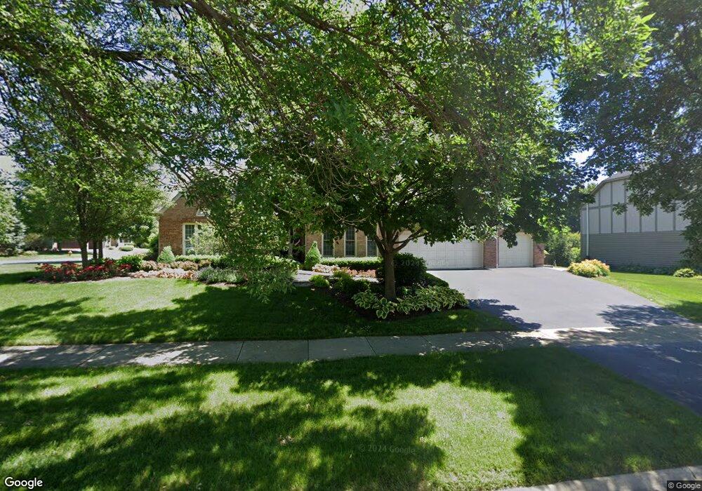
2632 Newport Dr Unit 1 Naperville, IL 60565
Knoch Knolls NeighborhoodEstimated Value: $806,151 - $978,000
--
Bed
1
Bath
3,806
Sq Ft
$226/Sq Ft
Est. Value
About This Home
This home is located at 2632 Newport Dr Unit 1, Naperville, IL 60565 and is currently estimated at $859,038, approximately $225 per square foot. 2632 Newport Dr Unit 1 is a home located in Will County with nearby schools including Spring Brook Elementary School, Ellsworth Elementary School, and Gordon Gregory Middle School.
Ownership History
Date
Name
Owned For
Owner Type
Purchase Details
Closed on
Nov 21, 2006
Sold by
Macdonald Steven D and Macdonald Pamela D
Bought by
Macdonald Steven D and Steven D Macdonald Living Trus
Current Estimated Value
Purchase Details
Closed on
Jun 14, 1995
Sold by
Wherlock Charles M and Wherlock Joyce E
Bought by
Macdonald Steven D and Macdonald Pamela D
Home Financials for this Owner
Home Financials are based on the most recent Mortgage that was taken out on this home.
Original Mortgage
$216,700
Interest Rate
5.75%
Purchase Details
Closed on
Mar 8, 1989
Bought by
Macdonald Steven
Create a Home Valuation Report for This Property
The Home Valuation Report is an in-depth analysis detailing your home's value as well as a comparison with similar homes in the area
Home Values in the Area
Average Home Value in this Area
Purchase History
| Date | Buyer | Sale Price | Title Company |
|---|---|---|---|
| Macdonald Steven D | -- | None Available | |
| Macdonald Steven D | $288,000 | Attorneys Title Guaranty Fun | |
| Macdonald Steven | $315,000 | -- |
Source: Public Records
Mortgage History
| Date | Status | Borrower | Loan Amount |
|---|---|---|---|
| Previous Owner | Macdonald Steven D | $216,700 |
Source: Public Records
Tax History Compared to Growth
Tax History
| Year | Tax Paid | Tax Assessment Tax Assessment Total Assessment is a certain percentage of the fair market value that is determined by local assessors to be the total taxable value of land and additions on the property. | Land | Improvement |
|---|---|---|---|---|
| 2024 | $15,714 | $255,909 | $43,308 | $212,601 |
| 2023 | $15,714 | $226,068 | $38,258 | $187,810 |
| 2022 | $13,635 | $194,198 | $36,190 | $158,008 |
| 2021 | $13,035 | $184,951 | $34,467 | $150,484 |
| 2020 | $12,788 | $182,021 | $33,921 | $148,100 |
| 2019 | $12,570 | $176,891 | $32,965 | $143,926 |
| 2018 | $12,527 | $173,230 | $32,240 | $140,990 |
| 2017 | $12,337 | $168,758 | $31,408 | $137,350 |
| 2016 | $12,315 | $165,125 | $30,732 | $134,393 |
| 2015 | $11,883 | $158,774 | $29,550 | $129,224 |
| 2014 | $11,883 | $150,459 | $29,550 | $120,909 |
| 2013 | $11,883 | $150,459 | $29,550 | $120,909 |
Source: Public Records
Map
Nearby Homes
- 2509 Brockton Cir
- 2734 Alyssa Dr
- 567 Roxbury Dr
- 2206 Gleneagles Dr
- 445 Travelaire Ave
- 2471 Kingsley Dr
- 1134 Gateshead Dr
- 51 Ford Ln
- 2167 Countryside Cir
- 2337 Worthing Dr Unit 102A
- 1123 Thackery Ln
- 945 Winners Cup Ct Unit 945
- 2741 Gateshead Dr
- 20 Pinnacle Ct
- 36 Oak Bluff Ct
- 1948 Navarone Dr
- 15 Pinnacle Ct
- 44 Oak Bluff Ct
- 1305 Morningstar Ct Unit 1A
- 3 Hickory Oaks Ct
- 430 Gateshead Dr Unit 1
- 2636 Newport Dr
- 426 Gateshead Dr
- 2635 Newport Dr
- 2631 Newport Dr
- 2640 Newport Dr
- 2624 Newport Dr
- 2639 Newport Dr
- 427 Gateshead Dr
- 422 Gateshead Dr
- 449 Hawley Ct
- 2627 Newport Dr
- 423 Gateshead Dr Unit 1
- 2644 Newport Dr
- 448 Gateshead Dr Unit 5
- 2620 Newport Dr Unit 1
- 2623 Newport Dr
- 443 Gateshead Dr
- 445 Hawley Ct
- 419 Gateshead Dr