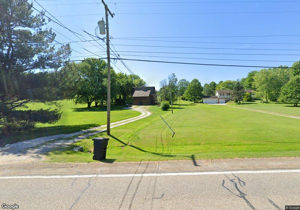
2632 Summit Rd Ravenna, OH 44266
Estimated Value: $196,000 - $407,000
4
Beds
2
Baths
1,432
Sq Ft
$193/Sq Ft
Est. Value
About This Home
This home is located at 2632 Summit Rd, Ravenna, OH 44266 and is currently estimated at $276,155, approximately $192 per square foot. 2632 Summit Rd is a home located in Portage County with nearby schools including Willyard Elementary School, West Park Elementary School, and Brown Middle School.
Ownership History
Date
Name
Owned For
Owner Type
Purchase Details
Closed on
Aug 23, 2001
Sold by
Thrasher Brian and Sedlock Shirley L
Bought by
Damicone Jon R
Current Estimated Value
Home Financials for this Owner
Home Financials are based on the most recent Mortgage that was taken out on this home.
Original Mortgage
$110,400
Outstanding Balance
$43,470
Interest Rate
7.28%
Estimated Equity
$232,685
Purchase Details
Closed on
Aug 12, 1991
Bought by
Thrasher Brian
Create a Home Valuation Report for This Property
The Home Valuation Report is an in-depth analysis detailing your home's value as well as a comparison with similar homes in the area
Home Values in the Area
Average Home Value in this Area
Purchase History
| Date | Buyer | Sale Price | Title Company |
|---|---|---|---|
| Damicone Jon R | $304,666 | Endress Title Company Inc | |
| Thrasher Brian | $60,000 | -- |
Source: Public Records
Mortgage History
| Date | Status | Borrower | Loan Amount |
|---|---|---|---|
| Open | Damicone Jon R | $110,400 |
Source: Public Records
Tax History Compared to Growth
Tax History
| Year | Tax Paid | Tax Assessment Tax Assessment Total Assessment is a certain percentage of the fair market value that is determined by local assessors to be the total taxable value of land and additions on the property. | Land | Improvement |
|---|---|---|---|---|
| 2024 | $3,216 | $69,340 | $13,760 | $55,580 |
| 2023 | $3,047 | $55,860 | $11,620 | $44,240 |
| 2022 | $3,006 | $55,860 | $11,620 | $44,240 |
| 2021 | $2,976 | $55,860 | $11,620 | $44,240 |
| 2020 | $2,715 | $44,870 | $11,620 | $33,250 |
| 2019 | $2,659 | $44,870 | $11,620 | $33,250 |
| 2018 | $2,716 | $43,190 | $10,080 | $33,110 |
| 2017 | $2,716 | $43,190 | $10,080 | $33,110 |
| 2016 | $2,493 | $43,190 | $10,080 | $33,110 |
| 2015 | $2,496 | $43,190 | $10,080 | $33,110 |
| 2014 | $2,343 | $40,180 | $10,080 | $30,100 |
| 2013 | $2,330 | $40,180 | $10,080 | $30,100 |
Source: Public Records
Map
Nearby Homes
- 5032 Blackberry Ln
- 2014 Sugar Maple Dr
- 2694 Sandy Lake Rd
- 3130 Pondview Dr Unit 18
- 2262 Willyard Ave
- 3174 Wolf Run Unit 2
- 3159 Pondview Dr Unit 7
- 5205 Cline Rd Unit A
- 4938 Brower Tree Ln
- 5223 Aspen Meadow Dr
- 5697 Halwick Dr
- 5443 Chadwell Cir
- 4832 Raspberry Cir
- 5123 Troyer Dr
- 2105 Sugar Maple Dr
- 3123 Clearview Rd
- 2092 Sugar Maple Dr
- 2464 Hazelnut Rd
- 3022 State Route 59 Unit B 59
- 5370 Winding Creek Dr
- 2620 Summit Rd
- 2650 Summit Rd
- 2615 Summit Rd
- 2686 Summit Rd
- 2593 Summit Rd
- 5414 Rootstown Rd
- 5366 Rootstown Rd
- 2885 2889 Summit Rd
- 2706 Summit Rd
- 5350 Rootstown Rd
- 5342 Rootstown Rd
- 5373 Rootstown Rd
- 2720 Summit Rd
- 2500 Summit Rd
- 5355 Rootstown Rd
- 5332 Rootstown Rd
- 2515 Summit Rd
- 5339 Rootstown Rd
- 5310 Rootstown Rd
- 2505 Summit Rd