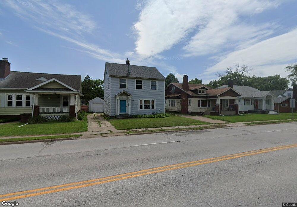
2633 E Locust St Davenport, IA 52803
East End NeighborhoodEstimated Value: $179,000 - $217,000
3
Beds
3
Baths
1,636
Sq Ft
$120/Sq Ft
Est. Value
About This Home
This home is located at 2633 E Locust St, Davenport, IA 52803 and is currently estimated at $196,964, approximately $120 per square foot. 2633 E Locust St is a home located in Scott County with nearby schools including McKinley Elementary School, Sudlow Intermediate School, and Central High School.
Ownership History
Date
Name
Owned For
Owner Type
Purchase Details
Closed on
May 29, 2025
Sold by
Thrapp Gary and Thrapp Annette T
Bought by
Thrapp Gary and Thrapp Annette T
Current Estimated Value
Purchase Details
Closed on
May 23, 2025
Sold by
Heberer Homes Llc
Bought by
Thrapp Gary
Purchase Details
Closed on
Sep 14, 2011
Sold by
The Secretary Of Housing & Urban Develop
Bought by
Thrapp Gary
Purchase Details
Closed on
Aug 30, 2010
Sold by
Wells Fargo Bank Na
Bought by
Secretary Of Housing & Urban Development
Purchase Details
Closed on
Jul 28, 2010
Sold by
Burrows Denise H
Bought by
Wells Fargo Bank Na
Create a Home Valuation Report for This Property
The Home Valuation Report is an in-depth analysis detailing your home's value as well as a comparison with similar homes in the area
Home Values in the Area
Average Home Value in this Area
Purchase History
| Date | Buyer | Sale Price | Title Company |
|---|---|---|---|
| Thrapp Gary | -- | None Listed On Document | |
| Thrapp Gary | -- | None Listed On Document | |
| Thrapp Gary | -- | None Available | |
| Secretary Of Housing & Urban Development | -- | None Available | |
| Wells Fargo Bank Na | $97,719 | None Available |
Source: Public Records
Tax History Compared to Growth
Tax History
| Year | Tax Paid | Tax Assessment Tax Assessment Total Assessment is a certain percentage of the fair market value that is determined by local assessors to be the total taxable value of land and additions on the property. | Land | Improvement |
|---|---|---|---|---|
| 2025 | $2,598 | $167,920 | $22,050 | $145,870 |
| 2024 | $2,536 | $145,360 | $22,050 | $123,310 |
| 2023 | $2,778 | $145,360 | $22,050 | $123,310 |
| 2022 | $2,716 | $130,070 | $18,740 | $111,330 |
| 2021 | $2,716 | $126,540 | $18,740 | $107,800 |
| 2020 | $3,020 | $118,580 | $18,740 | $99,840 |
| 2019 | $2,494 | $111,180 | $18,740 | $92,440 |
| 2018 | $2,306 | $111,180 | $18,740 | $92,440 |
| 2017 | $584 | $104,990 | $18,740 | $86,250 |
| 2016 | $2,300 | $104,990 | $0 | $0 |
| 2015 | $2,300 | $110,980 | $0 | $0 |
| 2014 | $2,464 | $110,980 | $0 | $0 |
| 2013 | $2,422 | $0 | $0 | $0 |
| 2012 | -- | $100,240 | $18,840 | $81,400 |
Source: Public Records
Map
Nearby Homes
- 1717 Kenwood Ave
- 1806 Forest Rd
- 2704 E High St
- 49 Kenwood Ave
- 1704 Jersey Ridge Rd
- 2905 Middle Rd
- 2950 E 18th St
- 1815 Belle Ave
- 1803 Belle Ave
- 1709 Christie St
- 1619 Christie St
- 123 Fernwood Ave
- 2458 E Central Park Ave
- 46 Hillcrest Ave
- 1504 Christie St
- 2222 E 13th St
- 1520 Mound St
- 2103 E Lombard St
- 1708 Eastmere Dr
- 2122 E 12th St
- 2637 E Locust St
- 2629 E Locust St
- 2641 E Locust St
- 2625 E Locust St
- 2645 E Locust St
- 2619 E Locust St
- 2634 E 18th St
- 2630 E 18th St
- 2638 E 18th St
- 2626 E 18th St
- 2642 E 18th St
- 1824 Kenwood Ave
- 2702 E Locust St
- 1909 Lorton Ave
- 2620 E 18th St
- 2648 E 18th St
- 2611 E Locust St
- 2714 E Locust St
- 2622 E Locust St
- 2616 E 18th St