2635 Lincoln Way Unit B Clinton, IA 52732
Estimated Value: $1,736,786
--
Bed
--
Bath
6,984
Sq Ft
$249/Sq Ft
Est. Value
About This Home
This home is located at 2635 Lincoln Way Unit B, Clinton, IA 52732 and is currently estimated at $1,736,786, approximately $248 per square foot. 2635 Lincoln Way Unit B is a home located in Clinton County with nearby schools including Bluff Elementary School, Clinton Middle School, and Clinton High School.
Ownership History
Date
Name
Owned For
Owner Type
Purchase Details
Closed on
Jul 26, 2012
Sold by
Co Westgate Medical Plaza Llc
Bought by
Co Os Properties Llc
Current Estimated Value
Home Financials for this Owner
Home Financials are based on the most recent Mortgage that was taken out on this home.
Original Mortgage
$794,750
Interest Rate
3.6%
Mortgage Type
FHA
Create a Home Valuation Report for This Property
The Home Valuation Report is an in-depth analysis detailing your home's value as well as a comparison with similar homes in the area
Home Values in the Area
Average Home Value in this Area
Purchase History
| Date | Buyer | Sale Price | Title Company |
|---|---|---|---|
| Co Os Properties Llc | $935,000 | None Available |
Source: Public Records
Mortgage History
| Date | Status | Borrower | Loan Amount |
|---|---|---|---|
| Closed | Co Os Properties Llc | $794,750 |
Source: Public Records
Tax History Compared to Growth
Tax History
| Year | Tax Paid | Tax Assessment Tax Assessment Total Assessment is a certain percentage of the fair market value that is determined by local assessors to be the total taxable value of land and additions on the property. | Land | Improvement |
|---|---|---|---|---|
| 2025 | $34,116 | $960,650 | $133,000 | $827,650 |
| 2024 | $34,116 | $973,420 | $134,060 | $839,360 |
| 2023 | $34,108 | $973,420 | $134,060 | $839,360 |
| 2022 | $30,110 | $905,540 | $134,060 | $771,480 |
| 2021 | $29,394 | $905,540 | $134,060 | $771,480 |
| 2020 | $29,394 | $894,875 | $123,335 | $771,540 |
| 2019 | $27,446 | $894,875 | $0 | $0 |
| 2018 | $27,276 | $855,664 | $0 | $0 |
| 2017 | $31,294 | $855,664 | $0 | $0 |
| 2016 | $30,514 | $855,664 | $0 | $0 |
| 2015 | $30,514 | $930,070 | $0 | $0 |
| 2014 | $33,372 | $930,070 | $0 | $0 |
| 2013 | $35,732 | $0 | $0 | $0 |
Source: Public Records
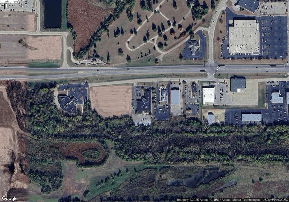
Map
Nearby Homes
- 1865 Harrison Dr
- 000 Dunn Rd
- 1626 25th Ave S
- 2340 Lafayette Terrace
- 210 16th Place
- 1637 Harrison Dr
- 1508 Harts Ave
- 1504 Woods Ave
- 1417 2nd Ave
- 1416 27th Ave S
- 711 Scott Ct
- 1908 Circle Dr S
- 1439 Woods Ave
- 1451 16th Ave
- 819 Millcrest Ct
- 2410 Barker St
- 2386 Barker St
- 1108 Harts Ave
- 1008 5th Ave
- 111 7th St
- 2635 Lincoln Way
- 2635 Lincoln Way
- 2615 Lincoln Way
- 2625 Lincoln Way
- 2420 Manufacturing Dr
- 2365 Lincolnway Blvd
- 2900 S 25th St
- 2900 S 25th St Unit Suite D
- 2900 S 25th St Unit G2
- 2900 S 25th St Unit Suite A
- 2900 S 25th St Unit Suite C - 2
- 2900 S 25th St Unit Suite C - 1
- 2900 S 25th St Unit C
- 2726 Lincoln Way
- 2808 S 25th St
- 2712 S 25th St
- 2712 S 25th St Unit G2
- 2712 S 25th St Unit 4
- 2712 S 25th St Unit 3
- 2418 Virginia Ave