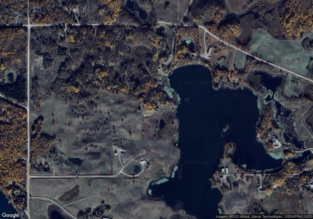
26352 Tonseth Rd Erhard, MN 56534
Estimated Value: $559,000 - $738,882
4
Beds
3
Baths
5,973
Sq Ft
$110/Sq Ft
Est. Value
About This Home
This home is located at 26352 Tonseth Rd, Erhard, MN 56534 and is currently estimated at $658,961, approximately $110 per square foot. 26352 Tonseth Rd is a home located in Otter Tail County with nearby schools including Underwood Elementary School and Underwood Secondary School.
Ownership History
Date
Name
Owned For
Owner Type
Purchase Details
Closed on
Feb 14, 2017
Bought by
Falcon Kandace and Kuoppala Elizabeth
Current Estimated Value
Home Financials for this Owner
Home Financials are based on the most recent Mortgage that was taken out on this home.
Original Mortgage
$304,478
Outstanding Balance
$252,937
Interest Rate
4.32%
Estimated Equity
$406,024
Create a Home Valuation Report for This Property
The Home Valuation Report is an in-depth analysis detailing your home's value as well as a comparison with similar homes in the area
Home Values in the Area
Average Home Value in this Area
Purchase History
| Date | Buyer | Sale Price | Title Company |
|---|---|---|---|
| Falcon Kandace | $322,500 | -- |
Source: Public Records
Mortgage History
| Date | Status | Borrower | Loan Amount |
|---|---|---|---|
| Open | Falcon Kandace | $304,478 |
Source: Public Records
Tax History Compared to Growth
Tax History
| Year | Tax Paid | Tax Assessment Tax Assessment Total Assessment is a certain percentage of the fair market value that is determined by local assessors to be the total taxable value of land and additions on the property. | Land | Improvement |
|---|---|---|---|---|
| 2025 | $4,984 | $706,100 | $169,400 | $536,700 |
| 2024 | $4,516 | $680,100 | $162,600 | $517,500 |
| 2023 | $4,290 | $603,100 | $148,300 | $454,800 |
| 2022 | $4,136 | $429,000 | $0 | $0 |
| 2021 | $3,648 | $603,100 | $148,300 | $454,800 |
| 2020 | $3,678 | $454,300 | $98,800 | $355,500 |
| 2019 | $3,396 | $411,000 | $114,100 | $296,900 |
| 2018 | $3,396 | $411,000 | $114,100 | $296,900 |
| 2017 | $3,284 | $408,200 | $116,200 | $292,000 |
| 2016 | $3,280 | $389,000 | $118,700 | $270,300 |
| 2015 | $3,070 | $0 | $0 | $0 |
| 2014 | -- | $391,100 | $116,900 | $274,200 |
Source: Public Records
Map
Nearby Homes
- 33232 260th Ave
- 32269 270th Ave
- 24873 300th St
- 29487 Riverview Rd
- 21XXX 310th St
- 33247 County Highway 35
- 28556 Water Street Trail
- 27015 County Highway 1
- 29333 County Highway 35
- 32261 Clay Bank Rd
- 32465 Clay Bank Rd
- 28023 County Highway 1
- 33211 County Highway 115
- 31129 E Jewett Dr
- TBD River Pointe Trail
- 35531 220th Ave
- xxx Shady Nook Dr
- 31623 Brightwood Shore Dr
- 31733 Glacial Ridge Rd
- 20619 Hillcrest Rd
- 26466 Tonseth Rd
- 26306 High Island Dr
- 26198 Tonseth Rd
- 26564 Tonseth Rd
- 26672 Tonseth Rd
- 32513 270th Ave
- 26122 Tonseth Rd
- 32569 270th Ave
- 32416 260th Ave
- 32532 260th Ave
- 32509 270th Ave
- 32883 270th Ave
- 26409 Tonseth Rd
- 32697 260th Ave
- 32683 260th Ave
- TBD 260th Ave
- 32545 260th Ave
- 33040 260th Ave
- 32525 270th Ave
- 32449 260th Ave
