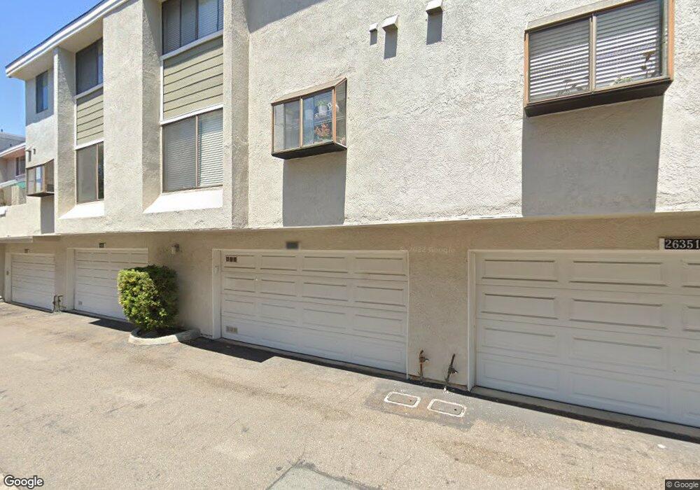
26353 Mountain Grove Cir Unit 32 Lake Forest, CA 92630
Estimated Value: $727,000 - $834,000
3
Beds
3
Baths
1,274
Sq Ft
$611/Sq Ft
Est. Value
About This Home
This home is located at 26353 Mountain Grove Cir Unit 32, Lake Forest, CA 92630 and is currently estimated at $777,798, approximately $610 per square foot. 26353 Mountain Grove Cir Unit 32 is a home located in Orange County with nearby schools including Lake Forest Elementary School, Serrano Intermediate School, and El Toro High School.
Ownership History
Date
Name
Owned For
Owner Type
Purchase Details
Closed on
May 26, 2015
Sold by
Andersen Kiel and Andersen Erin
Bought by
Rowberry John B and Rowberry Chelsee M
Current Estimated Value
Home Financials for this Owner
Home Financials are based on the most recent Mortgage that was taken out on this home.
Original Mortgage
$324,000
Outstanding Balance
$249,777
Interest Rate
3.62%
Mortgage Type
New Conventional
Estimated Equity
$528,021
Purchase Details
Closed on
Oct 21, 2009
Sold by
Barrett Michael L and Barrett Beverly J
Bought by
Andersen Kiel and Andersen Erin
Home Financials for this Owner
Home Financials are based on the most recent Mortgage that was taken out on this home.
Original Mortgage
$343,660
Interest Rate
4.25%
Mortgage Type
FHA
Create a Home Valuation Report for This Property
The Home Valuation Report is an in-depth analysis detailing your home's value as well as a comparison with similar homes in the area
Home Values in the Area
Average Home Value in this Area
Purchase History
| Date | Buyer | Sale Price | Title Company |
|---|---|---|---|
| Rowberry John B | $432,000 | First American Title Company | |
| Andersen Kiel | $350,000 | Fidelity National Title |
Source: Public Records
Mortgage History
| Date | Status | Borrower | Loan Amount |
|---|---|---|---|
| Open | Rowberry John B | $324,000 | |
| Previous Owner | Andersen Kiel | $343,660 |
Source: Public Records
Tax History Compared to Growth
Tax History
| Year | Tax Paid | Tax Assessment Tax Assessment Total Assessment is a certain percentage of the fair market value that is determined by local assessors to be the total taxable value of land and additions on the property. | Land | Improvement |
|---|---|---|---|---|
| 2025 | $5,357 | $519,196 | $391,913 | $127,283 |
| 2024 | $5,357 | $509,016 | $384,228 | $124,788 |
| 2023 | $5,231 | $499,036 | $376,694 | $122,342 |
| 2022 | $5,138 | $489,251 | $369,307 | $119,944 |
| 2021 | $5,036 | $479,658 | $362,065 | $117,593 |
| 2020 | $4,991 | $474,740 | $358,352 | $116,388 |
| 2019 | $4,891 | $465,432 | $351,326 | $114,106 |
| 2018 | $4,800 | $456,306 | $344,437 | $111,869 |
| 2017 | $4,704 | $447,359 | $337,683 | $109,676 |
| 2016 | $4,627 | $438,588 | $331,062 | $107,526 |
| 2015 | $3,972 | $375,908 | $257,593 | $118,315 |
| 2014 | $3,886 | $368,545 | $252,547 | $115,998 |
Source: Public Records
Map
Nearby Homes
- 22212 Summit Hill Dr Unit 18
- 26344 W Grove Cir Unit 65
- 26425 Sandy Creek
- 22292 Silent Brook
- 22322 Silent Brook
- 21906 Bellcroft Dr
- 22421 Rippling Brook
- 25912 Densmore Dr
- 22081 Broken Bow Dr
- 25885 Trabuco Rd Unit 206
- 25885 Trabuco Rd Unit 91
- 25885 Trabuco Rd Unit 306
- 25885 Trabuco Rd Unit 57
- 25885 Trabuco Rd Unit 33
- 25885 Trabuco Rd Unit 226
- 25885 Trabuco Rd Unit 271
- 25761 Le Parc Unit 89
- 25712 Le Parc Unit 93
- 25712 Le Parc Unit 7
- 21721 Rushford Dr
- 22111 Summit Hill Dr Unit 30
- 26351 Mountain Grove Cir
- 22111 Summit Hill Dr
- 26353 Mountain Grove Cir
- 26357 Mountain Grove Cir
- 26352 Mountain Grove Cir Unit 66
- 26352 Mountain Grove Cir
- 26356 Mountain Grove Cir Unit 64
- 26356 Mountain Grove Cir
- 26361 Mountain Grove Cir Unit 35
- 22105 Summit Hill Dr Unit 29
- 26358 Mountain Grove Cir Unit 63
- 26354 Mountain Grove Cir Unit 65
- 22101 Summit Hill Dr Unit 28
- 26363 Mountain Grove Cir
- 22122 Summit Hill Dr Unit 10
- 26365 Mountain Grove Cir Unit 37
- 26365 Mountain Grove Cir
- 22116 Summit Hill Dr Unit 11
- 22116 Summit Hill Dr