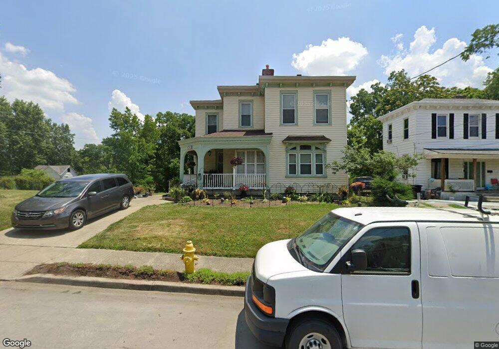
2636 Fenton Ave Cincinnati, OH 45211
Westwood NeighborhoodEstimated Value: $168,000 - $233,212
4
Beds
2
Baths
2,176
Sq Ft
$95/Sq Ft
Est. Value
About This Home
This home is located at 2636 Fenton Ave, Cincinnati, OH 45211 and is currently estimated at $206,803, approximately $95 per square foot. 2636 Fenton Ave is a home located in Hamilton County with nearby schools including Western Hills High School, Gilbert A. Dater High School, and Robert A. Taft Information Technology High School.
Ownership History
Date
Name
Owned For
Owner Type
Purchase Details
Closed on
Jul 18, 2002
Sold by
Edwards Robert J and Edwards Margaret E
Bought by
Torbert William J and Wilson Vinnie B
Current Estimated Value
Home Financials for this Owner
Home Financials are based on the most recent Mortgage that was taken out on this home.
Original Mortgage
$51,300
Outstanding Balance
$21,886
Interest Rate
6.8%
Estimated Equity
$184,917
Create a Home Valuation Report for This Property
The Home Valuation Report is an in-depth analysis detailing your home's value as well as a comparison with similar homes in the area
Home Values in the Area
Average Home Value in this Area
Purchase History
| Date | Buyer | Sale Price | Title Company |
|---|---|---|---|
| Torbert William J | $57,000 | Advance Title Agency Inc |
Source: Public Records
Mortgage History
| Date | Status | Borrower | Loan Amount |
|---|---|---|---|
| Open | Torbert William J | $51,300 |
Source: Public Records
Tax History Compared to Growth
Tax History
| Year | Tax Paid | Tax Assessment Tax Assessment Total Assessment is a certain percentage of the fair market value that is determined by local assessors to be the total taxable value of land and additions on the property. | Land | Improvement |
|---|---|---|---|---|
| 2024 | $3,528 | $55,119 | $10,532 | $44,587 |
| 2023 | $3,534 | $55,119 | $10,532 | $44,587 |
| 2022 | $1,750 | $24,242 | $9,202 | $15,040 |
| 2021 | $1,708 | $24,242 | $9,202 | $15,040 |
| 2020 | $1,713 | $24,242 | $9,202 | $15,040 |
| 2019 | $1,702 | $22,036 | $8,365 | $13,671 |
| 2018 | $1,703 | $22,036 | $8,365 | $13,671 |
| 2017 | $1,639 | $22,036 | $8,365 | $13,671 |
| 2016 | $1,917 | $25,176 | $10,640 | $14,536 |
| 2015 | $1,715 | $25,176 | $10,640 | $14,536 |
| 2014 | $1,724 | $25,176 | $10,640 | $14,536 |
| 2013 | $1,903 | $27,363 | $11,564 | $15,799 |
Source: Public Records
Map
Nearby Homes
- 2656 Fenton Ave
- 2630 Cora Ave
- 2266 Harrison Ave
- 2504 Forthmann Place
- 2340 Harrison Ave
- 2722 Orland Ave Unit 2
- 2195 Harrison Ave
- 2962 Aquadale Ln
- 2828 Ruberg Ave
- 2711 Baker Ave
- 2473 Wahl Terrace
- 2730 Queenswood Dr
- 3025 Mchenry Ave
- 2117 Saint Leo Place
- 2114 Saint Leo Place
- 3064 Mchenry Ave
- 2348 Oaktree Place
- 2082 Harrison Ave
- 2085 N Teralta Cir
- 2630 Morningdale Ct
- 2626 Fenton Ave
- 2620 Fenton Ave
- 2631 Fenton Ave
- 2627 Fenton Ave
- 2639 Fenton Ave
- 2616 Fenton Ave
- 2646 Fenton Ave
- 2625 Fenton Ave
- 2641 Fenton Ave
- 2621 Fenton Ave
- 2645 Fenton Ave
- 2619 Fenton Ave
- 2612 Fenton Ave
- 2654 Fenton Ave
- 2651 Fenton Ave
- 2615 Fenton Ave
- 2610 Fenton Ave
- 2655 Fenton Ave
- 2269 Moffat Ct
- 2607 Fenton Ave