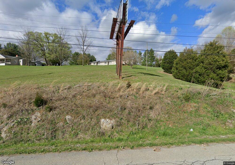
2637 Highway 11 W Unit 10 Bristol, TN 37620
Estimated Value: $160,624 - $2,630,000
2
Beds
2
Baths
1,000
Sq Ft
$840/Sq Ft
Est. Value
About This Home
This home is located at 2637 Highway 11 W Unit 10, Bristol, TN 37620 and is currently estimated at $840,156, approximately $840 per square foot. 2637 Highway 11 W Unit 10 is a home located in Sullivan County with nearby schools including Central Heights Elementary School and Sullivan Central Middle School.
Ownership History
Date
Name
Owned For
Owner Type
Purchase Details
Closed on
Feb 14, 2023
Sold by
Cole Patricia W
Bought by
Shams Tanzid
Current Estimated Value
Home Financials for this Owner
Home Financials are based on the most recent Mortgage that was taken out on this home.
Original Mortgage
$2,010,757
Outstanding Balance
$1,870,235
Interest Rate
6.33%
Mortgage Type
New Conventional
Estimated Equity
-$1,030,079
Purchase Details
Closed on
Jul 3, 1992
Create a Home Valuation Report for This Property
The Home Valuation Report is an in-depth analysis detailing your home's value as well as a comparison with similar homes in the area
Home Values in the Area
Average Home Value in this Area
Purchase History
| Date | Buyer | Sale Price | Title Company |
|---|---|---|---|
| Shams Tanzid | $2,000,000 | -- | |
| -- | $57,000 | -- |
Source: Public Records
Mortgage History
| Date | Status | Borrower | Loan Amount |
|---|---|---|---|
| Open | Shams Tanzid | $2,010,757 |
Source: Public Records
Tax History Compared to Growth
Tax History
| Year | Tax Paid | Tax Assessment Tax Assessment Total Assessment is a certain percentage of the fair market value that is determined by local assessors to be the total taxable value of land and additions on the property. | Land | Improvement |
|---|---|---|---|---|
| 2024 | $726 | $29,075 | $12,650 | $16,425 |
| 2023 | $700 | $29,075 | $12,650 | $16,425 |
| 2022 | $700 | $29,075 | $12,650 | $16,425 |
| 2021 | $700 | $29,075 | $12,650 | $16,425 |
| 2020 | $728 | $29,075 | $12,650 | $16,425 |
| 2019 | $728 | $28,325 | $12,650 | $15,675 |
| 2018 | $722 | $28,325 | $12,650 | $15,675 |
| 2017 | $722 | $28,325 | $12,650 | $15,675 |
| 2016 | $660 | $25,625 | $12,650 | $12,975 |
| 2014 | $591 | $25,633 | $0 | $0 |
Source: Public Records
Map
Nearby Homes
- 238 Eula Private Dr
- 252 Scott Ln
- 13 Highland Meadows Dr
- 530 Deck Valley Rd
- 4340 Gambrel Oaks
- 3659 Island Rd
- 590 County Home Rd
- 352 Deck Valley Ln
- 664 Cross Community Rd
- 680 Oakwood Rd
- 640 Oakwood Rd
- 281 Cook Hollow Rd
- 315 Cook Hollow Rd
- 4020 Highway 11 W
- 455 Carlton Rd
- 377 Carlton Rd
- 235 Beeler St
- 23249 Mary's Chapel Rd
- 124 Cross Community Rd
- 2892 Island Rd
- 2637 Highway 11 W
- 2637 U S 11w
- 2637 U S 11w Unit LOT 15
- 2637 U S 11w Unit 18
- 2637 U S 11w Unit 10
- 2624 Highway 11 W
- 2624 U S 11w
- 2634 Highway 11 W
- 237 Eula Private Dr
- 2677 Highway 11 W
- 2561 Highway 11 W
- 102 Seneker Ln
- 152 Seneker Rd
- 2495 Highway 11 W
- 2495 Highway 11 W
- 118 Seneker Ln
- 0 Hwy 11w Unit 369810
- 107 Seneker Ln
- 192 Seneker Ln
- 690 Reedy Creek Rd
