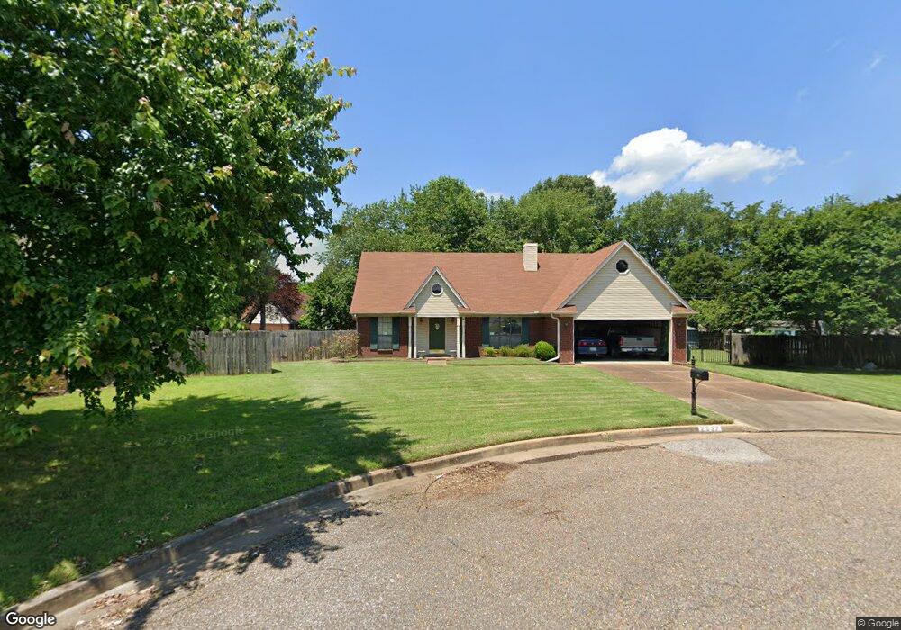
2637 Mossy Rock Cove Memphis, TN 38133
Estimated Value: $233,305 - $235,000
3
Beds
2
Baths
1,414
Sq Ft
$166/Sq Ft
Est. Value
About This Home
This home is located at 2637 Mossy Rock Cove, Memphis, TN 38133 and is currently estimated at $234,326, approximately $165 per square foot. 2637 Mossy Rock Cove is a home located in Shelby County with nearby schools including Kate Bond Elementary School, Kate Bond Middle School, and Cordova High School.
Ownership History
Date
Name
Owned For
Owner Type
Purchase Details
Closed on
Nov 22, 2000
Sold by
Abrams James E and Abrams Melinda F
Bought by
Parker Thurman A and Crouse Charlene D
Current Estimated Value
Home Financials for this Owner
Home Financials are based on the most recent Mortgage that was taken out on this home.
Original Mortgage
$91,200
Outstanding Balance
$33,461
Interest Rate
7.82%
Estimated Equity
$200,865
Create a Home Valuation Report for This Property
The Home Valuation Report is an in-depth analysis detailing your home's value as well as a comparison with similar homes in the area
Home Values in the Area
Average Home Value in this Area
Purchase History
| Date | Buyer | Sale Price | Title Company |
|---|---|---|---|
| Parker Thurman A | $114,000 | -- |
Source: Public Records
Mortgage History
| Date | Status | Borrower | Loan Amount |
|---|---|---|---|
| Open | Parker Thurman A | $91,200 |
Source: Public Records
Tax History Compared to Growth
Tax History
| Year | Tax Paid | Tax Assessment Tax Assessment Total Assessment is a certain percentage of the fair market value that is determined by local assessors to be the total taxable value of land and additions on the property. | Land | Improvement |
|---|---|---|---|---|
| 2025 | $1,276 | $62,825 | $8,750 | $54,075 |
| 2024 | $1,276 | $37,650 | $6,125 | $31,525 |
| 2023 | $2,294 | $37,650 | $6,125 | $31,525 |
| 2022 | $2,294 | $37,650 | $6,125 | $31,525 |
| 2021 | $2,320 | $37,650 | $6,125 | $31,525 |
| 2020 | $1,904 | $26,275 | $6,125 | $20,150 |
| 2019 | $1,904 | $26,275 | $6,125 | $20,150 |
| 2018 | $1,904 | $26,275 | $6,125 | $20,150 |
| 2017 | $1,080 | $26,275 | $6,125 | $20,150 |
| 2016 | $1,123 | $25,700 | $0 | $0 |
| 2014 | $1,123 | $25,700 | $0 | $0 |
Source: Public Records
Map
Nearby Homes
- 7685 Crystal Brook Cove
- 7828 Deerfield Trace
- 2718 Kate Bond Rd
- 2412 Kate Bond Rd
- 7723 Reese Rd
- 7551 Meadowland Dr
- 2554 Appling Glen Dr
- 2566 Austin Green Bay
- 2376 Pate Rd
- 2789 Arbor Lane Dr
- 2739 Lakeside Dr
- 6898 Talcott Ln
- 6878 Johnstown Ln
- 3116 Mannington Ln
- 7374 U S Highway 64
- BERRYHILL Rd
- 2633 Sleepy Bend Cove
- 2518 Bassfield Dr
- 7183 Polder Dr
- 2065 Steeplebrook Dr
- 2641 Mossy Rock Cove
- 7710 Desert Rose Cove
- 2631 Mossy Rock Cove
- 7711 Desert Rose Cove
- 7706 Desert Rose Cove
- 2623 Mossy Rock Cove
- 2638 Mossy Rock Cove
- 2630 Mossy Rock Cove
- 7705 Desert Rose Cove
- 2615 Mossy Rock Cove
- 2624 Mossy Rock Cove
- 7700 Desert Rose Cove
- 7754 Redfearn Cir N
- 7699 Desert Rose Cove
- 7748 Redfearn Cir N
- 7708 Crystal Brook Cove
- 2618 Mossy Rock Cove
- 7704 Crystal Brook Cove
- 7760 Redfearn Cir N
- 2609 Mossy Rock Cove