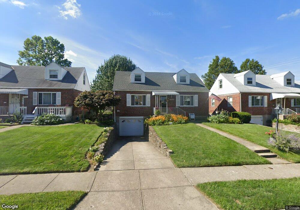
2638 Foran Dr Cincinnati, OH 45238
Westwood NeighborhoodEstimated Value: $160,451 - $210,000
3
Beds
2
Baths
1,295
Sq Ft
$145/Sq Ft
Est. Value
About This Home
This home is located at 2638 Foran Dr, Cincinnati, OH 45238 and is currently estimated at $187,863, approximately $145 per square foot. 2638 Foran Dr is a home located in Hamilton County with nearby schools including Midway Elementary School, Western Hills High School, and Gilbert A. Dater High School.
Ownership History
Date
Name
Owned For
Owner Type
Purchase Details
Closed on
May 3, 2013
Sold by
Wells Fargo Financial Ohio 1 Inc
Bought by
Ferguson Amy M
Current Estimated Value
Home Financials for this Owner
Home Financials are based on the most recent Mortgage that was taken out on this home.
Original Mortgage
$33,750
Interest Rate
4.02%
Mortgage Type
New Conventional
Create a Home Valuation Report for This Property
The Home Valuation Report is an in-depth analysis detailing your home's value as well as a comparison with similar homes in the area
Home Values in the Area
Average Home Value in this Area
Purchase History
| Date | Buyer | Sale Price | Title Company |
|---|---|---|---|
| Ferguson Amy M | $45,000 | None Available |
Source: Public Records
Mortgage History
| Date | Status | Borrower | Loan Amount |
|---|---|---|---|
| Previous Owner | Ferguson Amy M | $33,750 |
Source: Public Records
Tax History Compared to Growth
Tax History
| Year | Tax Paid | Tax Assessment Tax Assessment Total Assessment is a certain percentage of the fair market value that is determined by local assessors to be the total taxable value of land and additions on the property. | Land | Improvement |
|---|---|---|---|---|
| 2024 | $2,052 | $44,328 | $6,493 | $37,835 |
| 2023 | $2,150 | $44,328 | $6,493 | $37,835 |
| 2022 | $1,195 | $26,226 | $5,271 | $20,955 |
| 2021 | $1,134 | $26,226 | $5,271 | $20,955 |
| 2020 | $1,183 | $26,226 | $5,271 | $20,955 |
| 2019 | $1,114 | $23,843 | $4,792 | $19,051 |
| 2018 | $1,116 | $23,843 | $4,792 | $19,051 |
| 2017 | $1,052 | $23,843 | $4,792 | $19,051 |
| 2016 | $1,308 | $27,339 | $5,565 | $21,774 |
| 2015 | $1,187 | $27,339 | $5,565 | $21,774 |
| 2014 | $1,196 | $27,339 | $5,565 | $21,774 |
| 2013 | $1,292 | $28,476 | $5,796 | $22,680 |
Source: Public Records
Map
Nearby Homes
- 3373 Kathy Ln
- 3291 Tulsa Ct
- 2720 Anderson Ferry Rd
- 2197 Faywood Dr
- 3420 Lumardo Ave
- 2242 Fayhill Dr
- 2710 Mountville Dr
- 2100 Faywood Dr
- 3435 Locust Ln
- 2231 Townhill Dr
- 2113 Sylved Ln
- 3212 Vittmer Ave
- 3056 Brookview Dr
- 3141 W Tower Ave
- 1979 Faywood Dr
- 5420 Fayridge Ct
- 3531 Werk Rd
- 3167 Westbrook Dr
- 3325 Hanna Ave
- 5318 Sidney Rd