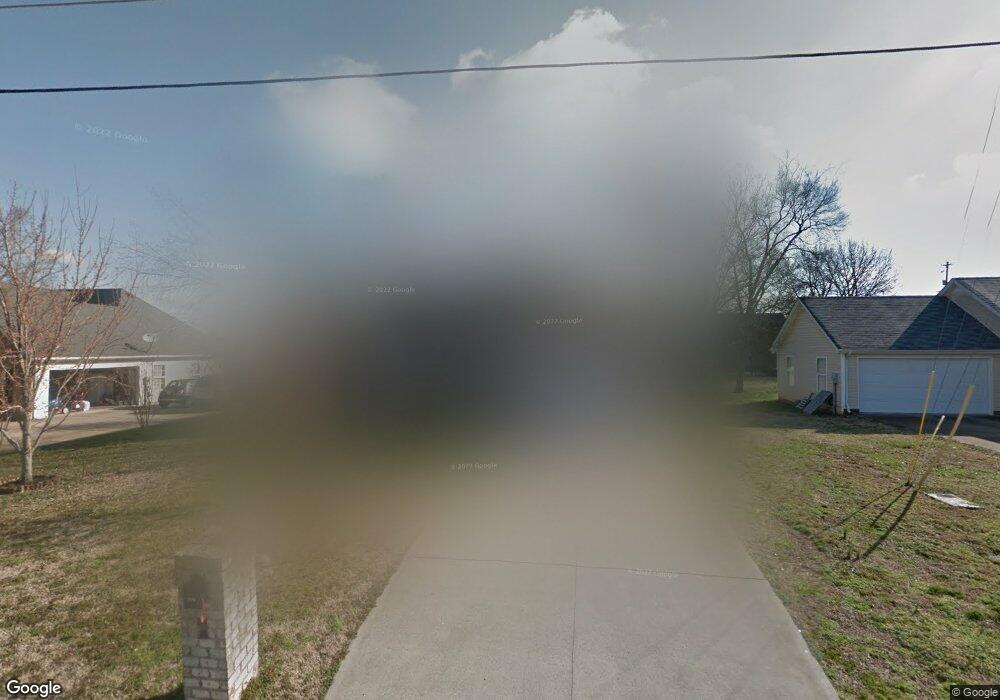
2638 Weatherford St La Vergne, TN 37086
Estimated Value: $352,000 - $413,000
--
Bed
3
Baths
2,206
Sq Ft
$175/Sq Ft
Est. Value
About This Home
This home is located at 2638 Weatherford St, La Vergne, TN 37086 and is currently estimated at $386,225, approximately $175 per square foot. 2638 Weatherford St is a home located in Rutherford County with nearby schools including Roy L. Waldron Elementary School, Lavergne Primary School, and La Vergne Middle School.
Ownership History
Date
Name
Owned For
Owner Type
Purchase Details
Closed on
Sep 10, 2001
Sold by
St James Homes
Bought by
Killebrew Susan J and Killebrew Donald
Current Estimated Value
Home Financials for this Owner
Home Financials are based on the most recent Mortgage that was taken out on this home.
Original Mortgage
$95,000
Interest Rate
6.98%
Create a Home Valuation Report for This Property
The Home Valuation Report is an in-depth analysis detailing your home's value as well as a comparison with similar homes in the area
Home Values in the Area
Average Home Value in this Area
Purchase History
| Date | Buyer | Sale Price | Title Company |
|---|---|---|---|
| Killebrew Susan J | $125,400 | -- | |
| St James Homes | -- | -- |
Source: Public Records
Mortgage History
| Date | Status | Borrower | Loan Amount |
|---|---|---|---|
| Closed | St James Homes | $95,000 |
Source: Public Records
Tax History Compared to Growth
Tax History
| Year | Tax Paid | Tax Assessment Tax Assessment Total Assessment is a certain percentage of the fair market value that is determined by local assessors to be the total taxable value of land and additions on the property. | Land | Improvement |
|---|---|---|---|---|
| 2025 | $471 | $87,825 | $13,750 | $74,075 |
| 2024 | $471 | $87,825 | $13,750 | $74,075 |
| 2023 | $1,648 | $87,825 | $13,750 | $74,075 |
| 2022 | $1,419 | $87,825 | $13,750 | $74,075 |
| 2021 | $1,182 | $53,275 | $8,750 | $44,525 |
| 2020 | $1,182 | $53,275 | $8,750 | $44,525 |
| 2019 | $1,182 | $53,275 | $8,750 | $44,525 |
| 2018 | $1,496 | $53,275 | $0 | $0 |
| 2017 | $1,417 | $39,025 | $0 | $0 |
| 2016 | $1,417 | $39,025 | $0 | $0 |
| 2015 | $1,426 | $39,025 | $0 | $0 |
| 2014 | $970 | $39,025 | $0 | $0 |
| 2013 | -- | $39,425 | $0 | $0 |
Source: Public Records
Map
Nearby Homes
- 403 Independence Ct
- 613 Sycamore Ln
- 1119 Moss Trail
- 4237 Miranda Place
- 306 Cotton Ct
- 2015 Keaton Dr
- 7511 Cash Crossing Ct
- 7543 Cash Crossing Ct
- 150 Bluegill Ln
- 143 Bluegill Ln
- 149 Bluegill Ln
- 5352 Sunnyvale Dr
- 152 Bluegill Ln
- 4414 Maxwell Rd
- 148 Bluegill Ln
- ELSTON Plan at Percy Cove
- CALHOUN Plan at Percy Cove
- IRWIN Plan at Percy Cove
- EDMON Plan at Percy Cove
- BOWEN Plan at Percy Cove
- 2636 Weatherford St
- 2640 Weatherford St
- 153 Constitution Ave
- 151 Constitution Ave
- 155 Constitution Ave
- 2634 Weatherford St
- 2600 Weatherford St
- 2642 Weatherford St
- 2623 Weatherford St
- 2625 Weatherford St
- 2621 Weatherford St
- 2627 Weatherford St
- 157 Constitution Ave
- 2644 Weatherford St
- 2632 Weatherford St
- 2619 Weatherford St
- 2629 Weatherford St
- 2812 General Maney Ct
- 159 Constitution Ave
- 2814 General Maney Ct