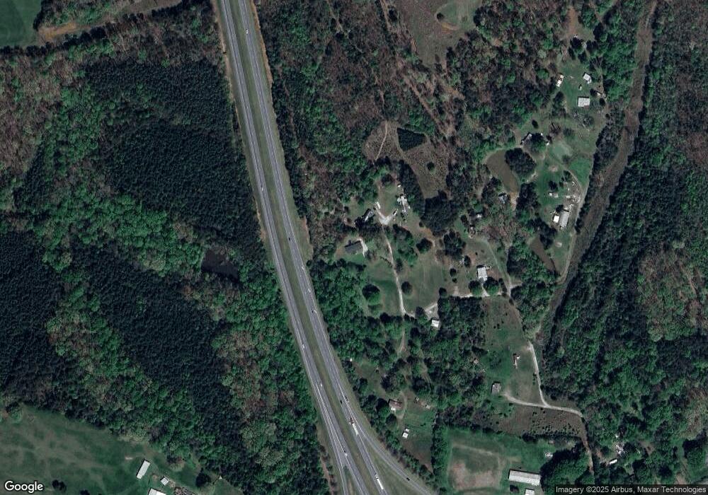
264 Campbell Ln Lincolnton, NC 28092
Estimated Value: $200,000 - $292,000
4
Beds
2
Baths
1,960
Sq Ft
$131/Sq Ft
Est. Value
About This Home
This home is located at 264 Campbell Ln, Lincolnton, NC 28092 and is currently estimated at $257,667, approximately $131 per square foot. 264 Campbell Ln is a home located in Lincoln County with nearby schools including Battleground Elementary School, Lincolnton Middle School, and Lincolnton High School.
Ownership History
Date
Name
Owned For
Owner Type
Purchase Details
Closed on
Dec 6, 2024
Sold by
Valenti James C and Leonard Andrea S
Bought by
Valenti James C and Leonard Andrea S
Current Estimated Value
Purchase Details
Closed on
Mar 31, 2015
Sold by
Fannie Mae
Bought by
Cristino Anahi and Ramirez Sergio
Purchase Details
Closed on
Feb 12, 2015
Sold by
Welch Melvin and Welch Michelle
Bought by
Federal National Mortgage Association and Fannie Mae
Create a Home Valuation Report for This Property
The Home Valuation Report is an in-depth analysis detailing your home's value as well as a comparison with similar homes in the area
Home Values in the Area
Average Home Value in this Area
Purchase History
| Date | Buyer | Sale Price | Title Company |
|---|---|---|---|
| Valenti James C | -- | None Listed On Document | |
| Cristino Anahi | -- | None Available | |
| Federal National Mortgage Association | $98,437 | None Available |
Source: Public Records
Tax History Compared to Growth
Tax History
| Year | Tax Paid | Tax Assessment Tax Assessment Total Assessment is a certain percentage of the fair market value that is determined by local assessors to be the total taxable value of land and additions on the property. | Land | Improvement |
|---|---|---|---|---|
| 2025 | $1,305 | $192,799 | $24,662 | $168,137 |
| 2024 | $1,285 | $192,799 | $24,662 | $168,137 |
| 2023 | $1,251 | $192,799 | $24,662 | $168,137 |
| 2022 | $767 | $92,021 | $18,358 | $73,663 |
| 2021 | $749 | $92,021 | $18,358 | $73,663 |
| 2020 | $616 | $92,021 | $18,358 | $73,663 |
| 2019 | $616 | $92,021 | $18,358 | $73,663 |
| 2018 | $585 | $71,104 | $16,855 | $54,249 |
| 2017 | $463 | $71,104 | $16,855 | $54,249 |
| 2016 | $463 | $71,104 | $16,855 | $54,249 |
| 2015 | $540 | $71,104 | $16,855 | $54,249 |
| 2014 | $653 | $90,038 | $18,369 | $71,669 |
Source: Public Records
Map
Nearby Homes
- 980 Lakeland Ave
- 3124 Banks St
- Lot 72 & 73 Meandering Ln Unit 72 & 73
- 00 Meandering Ln
- 00 Sunrise Trail
- 1484 Null Rd
- 772 Car Farm Rd
- 1540 Null Rd
- 1870 Grace Ct
- 1426 John Lutz Cir
- 211 Golf Course Rd
- 1670 Buck Oak Rd
- 2845 Wood Gate Rd
- 0 Eva Ct
- 134 Gibbs Cir
- 4594 Harris Elliot Rd
- 4603 Harris Elliot Rd
- 4595 Harris Elliot Rd
- 4590 Harris Elliot Rd
- 4586 Harris Elliot Rd
- 268 Campbell Ln
- 274 Campbell Ln
- 265 Campbell Ln
- 236 Campbell Ln
- 283 Campbell Ln
- 232 Campbell Ln
- 00 Car Farm Rd
- 189 Campbell Ln
- 09 Car Farm Rd
- 143 Campbell Ln
- 2624 Summerow Rd
- 129 Campbell Ln
- 84 Lakeland Ave
- 90/91 Lakeland Ave
- 90/91 Lakeland Ave Unit 90 and 91
- 105 Lakeland Ave
- 127 Lakeland Ave
- 123 Lakeland Ave
- 114 Lakeland Ave
- 111 Lakeland Ave
