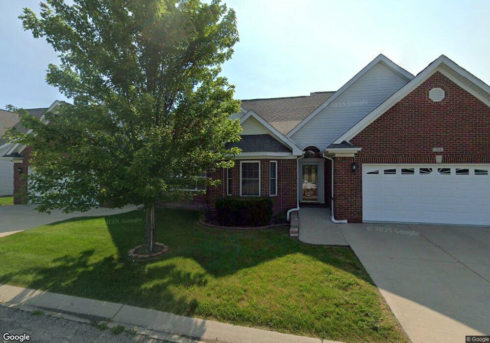
Devonshire Place 264 Devonshire Dr Unit Bldg-Unit Lapeer, MI 48446
Estimated Value: $350,000 - $365,000
2
Beds
3
Baths
1,534
Sq Ft
$232/Sq Ft
Est. Value
About This Home
This home is located at 264 Devonshire Dr Unit Bldg-Unit, Lapeer, MI 48446 and is currently estimated at $355,742, approximately $231 per square foot. 264 Devonshire Dr Unit Bldg-Unit is a home located in Lapeer County with nearby schools including C.K. Schickler Elementary School, Rolland-Warner Middle School, and Lapeer High School.
Ownership History
Date
Name
Owned For
Owner Type
Purchase Details
Closed on
May 25, 2021
Sold by
Hart Survivors Trust
Bought by
Jeans Cathleen J
Current Estimated Value
Purchase Details
Closed on
Aug 28, 2018
Sold by
Henderson Family Trust
Bought by
Hart Survivors Trust
Purchase Details
Closed on
Jul 4, 2016
Sold by
Krogulski Lynn F and Henderson Family Revokable Trust
Bought by
Henderson Family Trust
Purchase Details
Closed on
Sep 14, 2006
Bought by
Henderson Henderson R and Henderson N
Create a Home Valuation Report for This Property
The Home Valuation Report is an in-depth analysis detailing your home's value as well as a comparison with similar homes in the area
Home Values in the Area
Average Home Value in this Area
Purchase History
| Date | Buyer | Sale Price | Title Company |
|---|---|---|---|
| Jeans Cathleen J | $270,000 | Chicago Title | |
| Hart Survivors Trust | $235,000 | Cislo Title | |
| Henderson Family Trust | -- | -- | |
| Henderson Henderson R | $150,000 | -- | |
| Henderson Henderson R | $150,000 | -- |
Source: Public Records
Tax History
| Year | Tax Paid | Tax Assessment Tax Assessment Total Assessment is a certain percentage of the fair market value that is determined by local assessors to be the total taxable value of land and additions on the property. | Land | Improvement |
|---|---|---|---|---|
| 2025 | $3,894 | $163,500 | $0 | $0 |
| 2024 | $2,579 | $159,700 | $0 | $0 |
| 2023 | $2,460 | $131,200 | $0 | $0 |
| 2022 | $3,504 | $119,400 | $0 | $0 |
| 2021 | $2,466 | $117,900 | $0 | $0 |
| 2020 | $2,439 | $86,600 | $0 | $0 |
| 2019 | $2,541 | $87,700 | $0 | $0 |
| 2018 | $1,676 | $74,600 | $74,600 | $0 |
| 2017 | $1,643 | $75,800 | $0 | $0 |
| 2016 | $1,109 | $86,500 | $86,500 | $0 |
| 2015 | -- | $0 | $0 | $0 |
| 2014 | -- | $58,100 | $58,100 | $0 |
| 2013 | -- | $54,200 | $54,200 | $0 |
Source: Public Records
About Devonshire Place
Map
Nearby Homes
- The Fairway Plan at Devonshire Place
- 305 Devonshire Dr Unit 8
- 303 Devonshire Dr Unit 7
- 281 Devonshire Dr
- 390 Devonshire Dr Unit 27
- 392 Golfside Dr
- Elements 2390 Plan at Golfview Estates
- 0 Millville Rd Unit 50156590
- VL Whisper Ridge Dr
- 1110 Lancaster St
- 1135 Lancaster St
- 2516 W Genesee St
- 2792 Somerset St
- 1176 Rutherford St
- 3297 Reamer Rd
- 3100 John Conley Dr
- 00 Summit St Lapeer
- 2112 Demille - Split B Blvd
- 2112 Demille - Split A Blvd
- 2112 Demille - Split C Blvd
- 264 Devonshire Dr
- 373 Devonshire Dr
- 361 Devonshire Dr
- 359 Devonshire Dr
- 347 Devonshire Dr
- 305 Devonshire Dr
- 303 Devonshire Dr
- 281 Devonshire Dr Unit 6
- 317 Devonshire Dr
- 317 Devonshire Dr Unit 9
- Unit 1 Devonshire Dr Unit 1
- 113 Devonshire Dr
- 00 Devonshire Dr
- 319 Devonshire Dr
- 302 Devonshire Dr Unit Bldg-Unit
- 302 Devonshire Dr
- 316 Devonshire Dr Unit 316
- 316 Devonshire Dr Unit 39, 316
- 316 Devonshire Dr Unit 139
- 316 Devonshire Dr Unit 39
