Estimated Value: $188,000 - $233,919
3
Beds
2
Baths
2,622
Sq Ft
$78/Sq Ft
Est. Value
About This Home
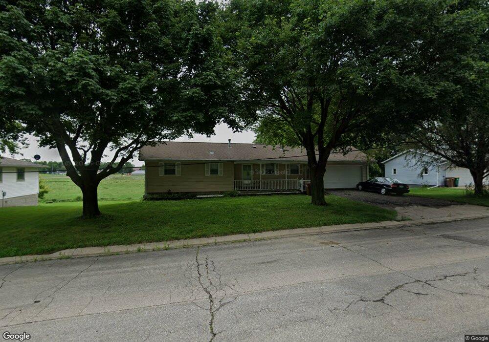
This home is located at 264 Powers Ave N, Alden, MN 56009 and is currently estimated at $203,230, approximately $77 per square foot. 264 Powers Ave N is a home located in Freeborn County with nearby schools including Alden-Conger Elementary School and Alden-Conger Secondary School.
Ownership History
Date
Name
Owned For
Owner Type
Purchase Details
Closed on
Jan 26, 2017
Sold by
Teskey Jeffrey Jeffrey
Bought by
Porter Sarah
Current Estimated Value
Home Financials for this Owner
Home Financials are based on the most recent Mortgage that was taken out on this home.
Original Mortgage
$95,959
Outstanding Balance
$79,716
Interest Rate
4.32%
Mortgage Type
New Conventional
Estimated Equity
$123,515
Purchase Details
Closed on
Apr 15, 2016
Bought by
Tesky Jeffrey Jeffrey
Create a Home Valuation Report for This Property
The Home Valuation Report is an in-depth analysis detailing your home's value as well as a comparison with similar homes in the area
Home Values in the Area
Average Home Value in this Area
Purchase History
| Date | Buyer | Sale Price | Title Company |
|---|---|---|---|
| Porter Sarah | $95,000 | -- | |
| Porter Sarah K | $95,000 | None Available | |
| Tesky Jeffrey Jeffrey | $33,500 | -- |
Source: Public Records
Mortgage History
| Date | Status | Borrower | Loan Amount |
|---|---|---|---|
| Open | Porter Sarah K | $95,959 | |
| Closed | Porter Sarah | $94,900 |
Source: Public Records
Tax History Compared to Growth
Tax History
| Year | Tax Paid | Tax Assessment Tax Assessment Total Assessment is a certain percentage of the fair market value that is determined by local assessors to be the total taxable value of land and additions on the property. | Land | Improvement |
|---|---|---|---|---|
| 2025 | $2,956 | $208,100 | $24,300 | $183,800 |
| 2024 | $2,822 | $156,800 | $16,500 | $140,300 |
| 2023 | $2,056 | $137,500 | $16,500 | $121,000 |
| 2022 | $1,546 | $126,900 | $16,500 | $110,400 |
| 2021 | $1,540 | $97,600 | $10,700 | $86,900 |
| 2020 | $1,520 | $91,000 | $10,700 | $80,300 |
| 2019 | $1,350 | $86,600 | $10,700 | $75,900 |
| 2018 | $490 | $0 | $0 | $0 |
| 2016 | $1,174 | $0 | $0 | $0 |
| 2015 | $1,124 | $0 | $0 | $0 |
| 2014 | $840 | $0 | $0 | $0 |
| 2012 | $892 | $0 | $0 | $0 |
Source: Public Records
Map
Nearby Homes
- 232 N Broadway
- 259 Elizabeth St
- 146 Washington Ave
- 119 Hall Ln
- 136 1st Ave W
- 304 S Broadway
- 150 Mason Ave
- 23371 650th Ave
- 20343 680th Ave Unit LotWP001
- 25975 630th Ave
- 22598 700th Ave
- 67927 270th St
- 65672 275th St
- 608 Lakeshore Dr
- 15742 675th Ave
- 206 Mckinley St
- 15815 620th Ave
- TBD Lake Chapeau Dr
- 2704 Campus Ln
- 2418 W Main St
- 278 Powers Ave N
- 248 Powers Ave N
- 236 Powers Ave N
- 222 Powers Ave N
- 277 Powers Ave N
- 285 Powers Ave N
- 402 N Alden Rd
- 208 Powers Ave N
- 251 Powers Ave N
- 225 Powers Ave N
- 194 Powers Ave N
- 197 Powers Ave N
- 176 Powers Ave N
- 185 Powers Ave N
- 481 N Alden Rd
- 152 Powers Ave N
- 318 N Powers Ave
- 314 N Powers Ave
- 310 N Powers Ave
- 306 N Powers Ave