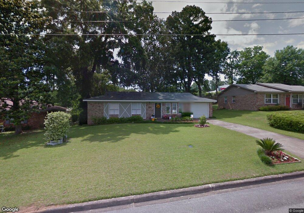
2640 Byron Cir Unit 1 Tallahassee, FL 32308
Northeast Tallahassee NeighborhoodEstimated Value: $244,198 - $294,000
3
Beds
2
Baths
1,140
Sq Ft
$229/Sq Ft
Est. Value
About This Home
This home is located at 2640 Byron Cir Unit 1, Tallahassee, FL 32308 and is currently estimated at $261,550, approximately $229 per square foot. 2640 Byron Cir Unit 1 is a home located in Leon County with nearby schools including Gilchrist Elementary School, Elizabeth Cobb Middle School, and Lincoln High School.
Ownership History
Date
Name
Owned For
Owner Type
Purchase Details
Closed on
Jun 16, 2008
Sold by
Hunter Robert L and Hunter Laurie S
Bought by
Sundie James and Yeh Fang C
Current Estimated Value
Home Financials for this Owner
Home Financials are based on the most recent Mortgage that was taken out on this home.
Original Mortgage
$158,150
Outstanding Balance
$100,547
Interest Rate
6.04%
Mortgage Type
Purchase Money Mortgage
Estimated Equity
$161,003
Create a Home Valuation Report for This Property
The Home Valuation Report is an in-depth analysis detailing your home's value as well as a comparison with similar homes in the area
Home Values in the Area
Average Home Value in this Area
Purchase History
| Date | Buyer | Sale Price | Title Company |
|---|---|---|---|
| Sundie James | $158,200 | Attorney |
Source: Public Records
Mortgage History
| Date | Status | Borrower | Loan Amount |
|---|---|---|---|
| Open | Sundie James | $158,150 |
Source: Public Records
Tax History Compared to Growth
Tax History
| Year | Tax Paid | Tax Assessment Tax Assessment Total Assessment is a certain percentage of the fair market value that is determined by local assessors to be the total taxable value of land and additions on the property. | Land | Improvement |
|---|---|---|---|---|
| 2025 | $1,791 | $136,778 | -- | -- |
| 2024 | $1,730 | $132,923 | -- | -- |
| 2023 | $1,666 | $129,051 | $0 | $0 |
| 2022 | $1,551 | $125,292 | $0 | $0 |
| 2021 | $1,522 | $121,643 | $0 | $0 |
| 2020 | $1,472 | $119,964 | $0 | $0 |
| 2019 | $1,440 | $117,267 | $0 | $0 |
| 2018 | $1,414 | $115,080 | $0 | $0 |
| 2017 | $1,389 | $112,713 | $0 | $0 |
| 2016 | $1,367 | $110,395 | $0 | $0 |
| 2015 | $1,356 | $109,628 | $0 | $0 |
| 2014 | $1,356 | $108,758 | $0 | $0 |
Source: Public Records
Map
Nearby Homes
- 2752 Raintree Cir
- 1657 Springwood Dr
- 2725 Bedford Way
- 1577 Metropolitan Blvd Unit 1
- 1417 Denholm Dr
- 2704 Laurelwood Ln
- 0 Raymond Diehl Rd Unit 389118
- 0 Live Oak Plantation Rd Unit 393690
- 0 Dogwood Hill Unit 392288
- 2964 Olson Ridge Rd
- 1425 Woodgate Way
- The Beau Plan at Olson Ridge
- The Belfort Plan at Olson Ridge
- The Alabaster Plan at Olson Ridge
- The Carol Plan at Olson Ridge
- The Walker Plan at Olson Ridge
- 2971 Olson Rd
- 2933 Ervine St
- 1327 Constitution Place W
- 2968 Ervine St
- 2640 Byron Cir
- 2636 Byron Cir
- 2644 Byron Cir
- 2632 Byron Cir Unit 1
- 2632 Byron Cir
- 2646 Byron Cir
- 2643 Byron Cir
- 2635 Byron Cir Unit 1
- 2635 Byron Cir
- 2655 Byron Cir
- 2628 Byron Cir
- 2652 Byron Cir
- 2629 Byron Cir
- 2656 Byron Cir
- 2623 Byron Cir
- 2624 Byron Cir Unit 1
- 2624 Byron Cir
- 2660 Byron Cir
- 2524 Bedford Way
- 2528 Bedford Way