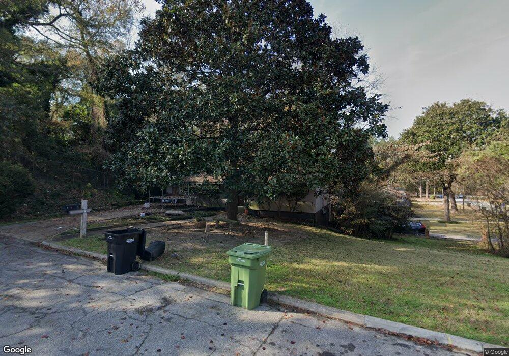
2643 Barbara Ave Columbus, GA 31907
North Columbus NeighborhoodEstimated Value: $142,813 - $196,000
2
Beds
3
Baths
1,478
Sq Ft
$108/Sq Ft
Est. Value
About This Home
This home is located at 2643 Barbara Ave, Columbus, GA 31907 and is currently estimated at $160,203, approximately $108 per square foot. 2643 Barbara Ave is a home located in Muscogee County with nearby schools including Clubview Elementary School, Richards Middle School, and Hardaway High School.
Ownership History
Date
Name
Owned For
Owner Type
Purchase Details
Closed on
Jun 10, 2014
Sold by
Philips Constance S
Bought by
Csp Investments Llc
Current Estimated Value
Purchase Details
Closed on
Sep 3, 2013
Sold by
Jpmorgan Chase Bank Nation
Bought by
Sec Of Housing & Urban
Purchase Details
Closed on
Nov 23, 2010
Sold by
Pound Lindsay Grace
Bought by
Pound Gabriel Jeremiah
Create a Home Valuation Report for This Property
The Home Valuation Report is an in-depth analysis detailing your home's value as well as a comparison with similar homes in the area
Home Values in the Area
Average Home Value in this Area
Purchase History
| Date | Buyer | Sale Price | Title Company |
|---|---|---|---|
| Csp Investments Llc | -- | -- | |
| Philips Constance S | $51,200 | -- | |
| Sec Of Housing & Urban | $82,731 | -- | |
| Jpmorgan Chase Bank National A | -- | -- | |
| Pound Gabriel Jeremiah | -- | None Available |
Source: Public Records
Tax History
| Year | Tax Paid | Tax Assessment Tax Assessment Total Assessment is a certain percentage of the fair market value that is determined by local assessors to be the total taxable value of land and additions on the property. | Land | Improvement |
|---|---|---|---|---|
| 2025 | $1,581 | $40,376 | $9,484 | $30,892 |
| 2024 | $1,101 | $52,388 | $9,484 | $42,904 |
| 2023 | $1,108 | $28,116 | $9,484 | $18,632 |
| 2022 | $1,148 | $28,116 | $9,484 | $18,632 |
| 2021 | $1,148 | $30,916 | $9,484 | $21,432 |
| 2020 | $1,148 | $28,116 | $9,484 | $18,632 |
| 2019 | $1,152 | $28,116 | $9,484 | $18,632 |
| 2018 | $1,152 | $28,116 | $9,484 | $18,632 |
| 2017 | $1,156 | $28,116 | $9,484 | $18,632 |
| 2016 | $845 | $20,479 | $4,283 | $16,196 |
| 2015 | $338 | $20,479 | $4,283 | $16,196 |
| 2014 | $658 | $39,784 | $4,283 | $35,501 |
| 2013 | -- | $39,784 | $4,283 | $35,501 |
Source: Public Records
Map
Nearby Homes
- 2525 Norris Rd Unit 36
- 2525 Norris Rd Unit 98
- 2525 Norris Rd Unit 91
- 2736 Norris Rd
- 2969 Roswell Ln
- 2930 Sue MacK Dr
- 2868 Lynda Ln
- 2942 Mary Ann Dr
- 2637 Sue MacK Dr
- 3531 Dale Dr
- 3335 Junaluska Dr
- 3328 College Ave
- 3425 Tomahawk Dr
- 2820 Nancy St
- 3337 Coweta Dr
- 3409 Hiawatha Dr
- 2836 Cromwell Dr
- 7 Primrose Ct
- 10 Kingswood Ct
- 3402 Cambridge Dr
- 3324 Larry Dr
- 3318 Larry Dr
- 2640 Barbara Ave
- 2644 Barbara Ave
- 2703 Barbara Ave
- 2700 Barbara Ave
- 3325 Larry Dr
- 3314 Larry Dr
- 3319 Larry Dr
- 2704 Barbara Ave
- 3313 Glenbrook Dr
- 3306 Larry Dr
- 3313 Larry Dr
- 2715 Barbara Ave
- 3324 Lawrence Dr
- 3318 Lawrence Dr
- 3307 Glenbrook Dr
- 3307 Larry Dr
- 2714 Barbara Ave
- 3316 Lawrence Dr
Your Personal Tour Guide
Ask me questions while you tour the home.