26441 State Highway 49 Nevada City, CA 95959
Estimated Value: $272,939 - $441,000
2
Beds
1
Bath
1,080
Sq Ft
$351/Sq Ft
Est. Value
About This Home
This home is located at 26441 State Highway 49, Nevada City, CA 95959 and is currently estimated at $378,646, approximately $350 per square foot. 26441 State Highway 49 is a home with nearby schools including Deer Creek Elementary School, Seven Hills Intermediate School, and Milhous School, Inc. - Nevada City.
Ownership History
Date
Name
Owned For
Owner Type
Purchase Details
Closed on
Aug 30, 2007
Sold by
Clemens Diana Marie
Bought by
Clemens Diana Marie
Current Estimated Value
Purchase Details
Closed on
Jun 9, 1999
Sold by
Clemens Diana M
Bought by
Clemens Diana Marie
Home Financials for this Owner
Home Financials are based on the most recent Mortgage that was taken out on this home.
Original Mortgage
$52,000
Interest Rate
7.01%
Mortgage Type
Purchase Money Mortgage
Create a Home Valuation Report for This Property
The Home Valuation Report is an in-depth analysis detailing your home's value as well as a comparison with similar homes in the area
Home Values in the Area
Average Home Value in this Area
Purchase History
| Date | Buyer | Sale Price | Title Company |
|---|---|---|---|
| Clemens Diana Marie | -- | None Available | |
| Clemens Diana Marie | -- | First American Title Ins Co |
Source: Public Records
Mortgage History
| Date | Status | Borrower | Loan Amount |
|---|---|---|---|
| Closed | Clemens Diana Marie | $52,000 |
Source: Public Records
Tax History Compared to Growth
Tax History
| Year | Tax Paid | Tax Assessment Tax Assessment Total Assessment is a certain percentage of the fair market value that is determined by local assessors to be the total taxable value of land and additions on the property. | Land | Improvement |
|---|---|---|---|---|
| 2025 | $662 | $55,578 | $22,032 | $33,546 |
| 2024 | $649 | $54,489 | $21,600 | $32,889 |
| 2023 | $649 | $53,422 | $21,177 | $32,245 |
| 2022 | $636 | $52,375 | $20,762 | $31,613 |
| 2021 | $607 | $51,349 | $20,355 | $30,994 |
| 2020 | $606 | $50,824 | $20,147 | $30,677 |
| 2019 | $595 | $49,828 | $19,752 | $30,076 |
| 2018 | $0 | $48,852 | $19,365 | $29,487 |
| 2017 | $575 | $47,895 | $18,986 | $28,909 |
| 2016 | $556 | $46,957 | $18,614 | $28,343 |
| 2015 | $553 | $46,253 | $18,335 | $27,918 |
| 2014 | $543 | $45,348 | $17,976 | $27,372 |
Source: Public Records
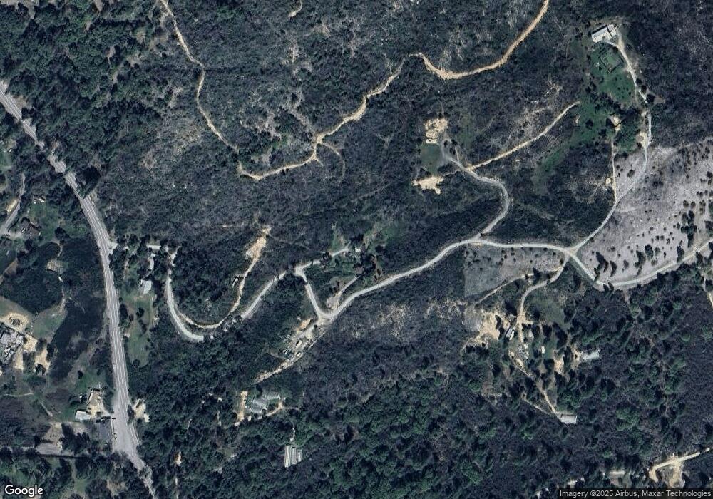
Map
Nearby Homes
- 10571 Sebastopol Rd
- 11192 Sebastopol Rd
- 10884 Milky Way
- 10114 Francisco Ln
- 10213 Tyler Foote Rd
- 10985 Tyler Foote Rd
- 10311 School St
- 11194 Tyler Foote Rd
- 27596 Sweetland Rd
- 24271 Hoyt Crossing Rd
- 28110 Sweetland Rd
- 11625 Tyler Foote Rd
- 15375 Cliff Rd
- 12310 Robinson Rd
- 22115 Pleasant Valley Rd
- 13333 Preston Rd
- 20357 Pleasant Valley Rd
- 22677 Troost Trail
- 10757 Tobacco Rd
- 14742 Boquest Dr
- 26281 State Highway 49
- 26047 State Highway 49
- 26047 State Highway 49
- 10240 Sauer Ln
- 10560 Heron Rd
- 26195 Sweetland Rd
- 25887 State Highway 49
- 26130 State Highway 49
- 26130 State Highway 49
- 26130 State Highway 49
- 26285 Sweetland Rd
- 10075 Cemetery St
- 26206 Sweetland Rd
- 26615 State Highway 49
- 26131 Sweetland Rd
- 26398 Sweetland Rd
- 10661 Heron Rd
- 10181 Bachelors St
- 26119 Sweetland Rd