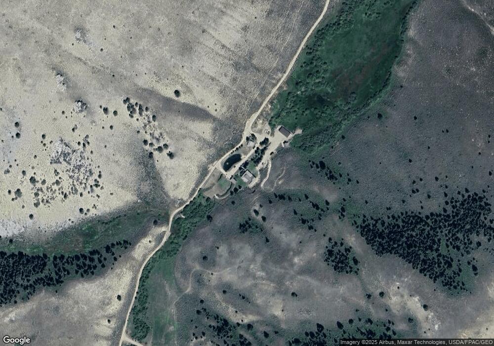
2644A W Fork Little Sheep Creek Dillon, MT 59725
Estimated Value: $672,000 - $840,671
3
Beds
3
Baths
4,200
Sq Ft
$180/Sq Ft
Est. Value
About This Home
This home is located at 2644A W Fork Little Sheep Creek, Dillon, MT 59725 and is currently estimated at $756,336, approximately $180 per square foot. 2644A W Fork Little Sheep Creek is a home located in Beaverhead County with nearby schools including Lima Elementary School, Lima 7-8, and Lima High School.
Ownership History
Date
Name
Owned For
Owner Type
Purchase Details
Closed on
Jul 30, 2024
Sold by
Monsen R Tod R and Monsen Robi E
Bought by
Monsen Familty Trust and Monsen
Current Estimated Value
Purchase Details
Closed on
Aug 21, 2020
Sold by
Prine Harmon D and Prine Dorothy L
Bought by
Monsen R Todd R and Monsen Robin E
Home Financials for this Owner
Home Financials are based on the most recent Mortgage that was taken out on this home.
Original Mortgage
$632,000
Interest Rate
3%
Mortgage Type
Purchase Money Mortgage
Create a Home Valuation Report for This Property
The Home Valuation Report is an in-depth analysis detailing your home's value as well as a comparison with similar homes in the area
Home Values in the Area
Average Home Value in this Area
Purchase History
| Date | Buyer | Sale Price | Title Company |
|---|---|---|---|
| Monsen Familty Trust | -- | Flying S Title And Escrow | |
| Monsen R Todd R | -- | First American Title Dillon |
Source: Public Records
Mortgage History
| Date | Status | Borrower | Loan Amount |
|---|---|---|---|
| Previous Owner | Monsen R Todd R | $632,000 |
Source: Public Records
Tax History Compared to Growth
Tax History
| Year | Tax Paid | Tax Assessment Tax Assessment Total Assessment is a certain percentage of the fair market value that is determined by local assessors to be the total taxable value of land and additions on the property. | Land | Improvement |
|---|---|---|---|---|
| 2025 | $2,820 | $601,814 | $0 | $0 |
| 2024 | $3,277 | $547,917 | $0 | $0 |
| 2023 | $3,448 | $547,917 | $0 | $0 |
| 2022 | $2,622 | $335,634 | $0 | $0 |
| 2021 | $2,443 | $335,634 | $0 | $0 |
| 2020 | $2,381 | $301,221 | $0 | $0 |
| 2019 | $2,058 | $254,111 | $0 | $0 |
| 2018 | $1,872 | $253,577 | $0 | $0 |
| 2017 | -- | $253,577 | $0 | $0 |
| 2016 | -- | $256,093 | $0 | $0 |
| 2015 | -- | $256,093 | $0 | $0 |
| 2014 | -- | $94,146 | $0 | $0 |
Source: Public Records
Map
Nearby Homes