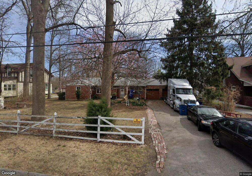
2646 Chaucer Ave Saint Louis, MO 63114
Estimated Value: $181,000 - $228,000
3
Beds
1
Bath
1,314
Sq Ft
$150/Sq Ft
Est. Value
About This Home
This home is located at 2646 Chaucer Ave, Saint Louis, MO 63114 and is currently estimated at $196,813, approximately $149 per square foot. 2646 Chaucer Ave is a home located in St. Louis County with nearby schools including Marion Elementary School, Ritenour Middle School, and Ritenour Senior High School.
Ownership History
Date
Name
Owned For
Owner Type
Purchase Details
Closed on
May 24, 2002
Sold by
Williams Michael L
Bought by
Romero Rommel and Romero Dalys
Current Estimated Value
Home Financials for this Owner
Home Financials are based on the most recent Mortgage that was taken out on this home.
Original Mortgage
$139,050
Outstanding Balance
$58,054
Interest Rate
6.77%
Mortgage Type
VA
Estimated Equity
$138,759
Purchase Details
Closed on
Mar 7, 2002
Sold by
Lumar Frank L and Lumar Adele E
Bought by
Williams Michael L
Create a Home Valuation Report for This Property
The Home Valuation Report is an in-depth analysis detailing your home's value as well as a comparison with similar homes in the area
Home Values in the Area
Average Home Value in this Area
Purchase History
| Date | Buyer | Sale Price | Title Company |
|---|---|---|---|
| Romero Rommel | $135,000 | -- | |
| Williams Michael L | $99,482 | -- |
Source: Public Records
Mortgage History
| Date | Status | Borrower | Loan Amount |
|---|---|---|---|
| Open | Romero Rommel | $139,050 |
Source: Public Records
Tax History Compared to Growth
Tax History
| Year | Tax Paid | Tax Assessment Tax Assessment Total Assessment is a certain percentage of the fair market value that is determined by local assessors to be the total taxable value of land and additions on the property. | Land | Improvement |
|---|---|---|---|---|
| 2025 | $2,349 | $35,360 | $8,020 | $27,340 |
| 2024 | $2,349 | $27,440 | $5,360 | $22,080 |
| 2023 | $2,349 | $27,440 | $5,360 | $22,080 |
| 2022 | $2,298 | $24,090 | $5,360 | $18,730 |
| 2021 | $2,298 | $24,090 | $5,360 | $18,730 |
| 2020 | $2,341 | $22,650 | $4,960 | $17,690 |
| 2019 | $2,315 | $22,650 | $4,960 | $17,690 |
| 2018 | $2,123 | $18,680 | $4,580 | $14,100 |
| 2017 | $2,025 | $18,680 | $4,580 | $14,100 |
| 2016 | $1,817 | $17,060 | $2,680 | $14,380 |
| 2015 | $1,859 | $17,060 | $2,680 | $14,380 |
| 2014 | -- | $21,370 | $6,040 | $15,330 |
Source: Public Records
Map
Nearby Homes
- 9911 Dennison Ave
- 9922 Carlyle Ave
- 2529 Leslie Ave
- 2528 Leslie Ave
- 9640 Tennyson Ave
- 10235 Midland Blvd
- 10222 Saint Dennis Ln
- 2412 Wallis Ave
- 10228 Saint Arsene Ln
- 9639 Lackland Rd
- 3113 Pearl Harbor Dr
- 10027 Breckenridge Rd
- 10107 Niblic Dr
- 10111 Niblic Dr
- 3222 W Tennyson Ave
- 3239 Chaucer Ave
- 3000 Ashby Rd
- 10300 Breckenridge Rd
- 3244 Chaucer Ave
- 3001 Ashby Rd
- 2642 Chaucer Ave
- 2650 Chaucer Ave
- 2640 Chaucer Ave
- 2636 Chaucer Ave
- 2658 Chaucer Ave
- 2634 Chaucer Ave
- 2632 Chaucer Ave
- 2645 Chaucer Ave
- 2635 Sims Ave
- 2628 Chaucer Ave
- 2631 Sims Ave
- 2641 Sims Ave
- 9918 Dennison Ave
- 2660 Chaucer Ave
- 9916 Dennison Ave
- 2624 Chaucer Ave
- 2655 Chaucer Ave
- 2627 Sims Ave
- 10000 Thorpe Ave
- 2629 Sims Ave