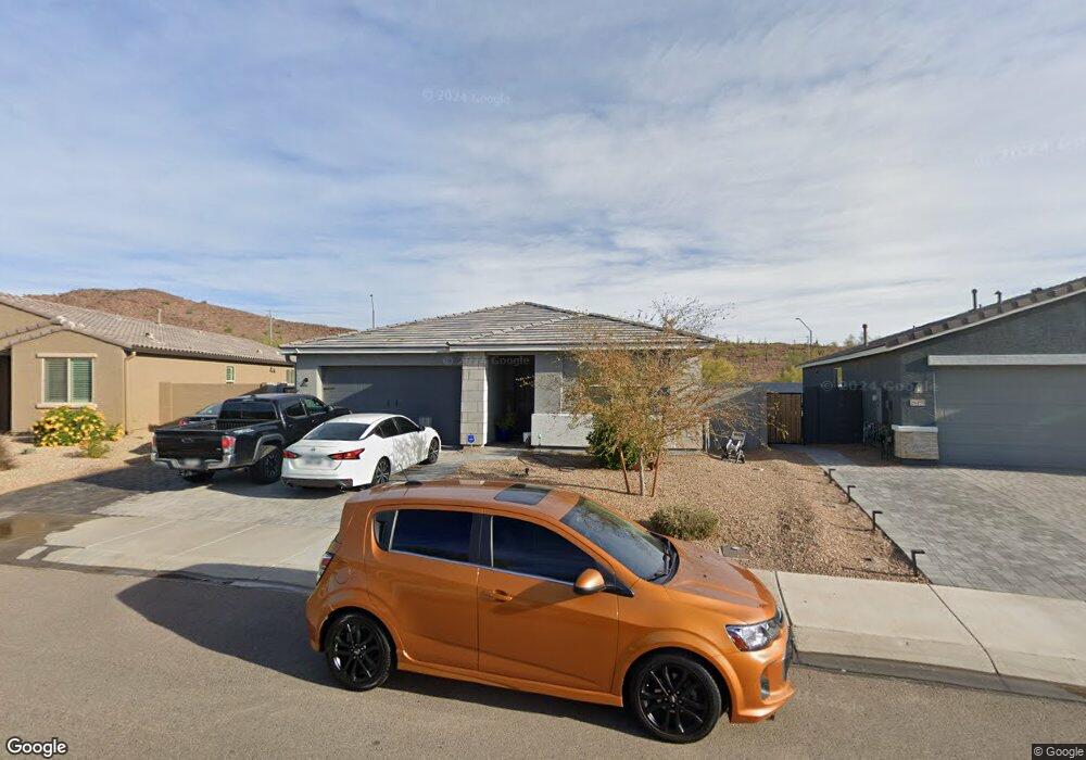
26465 N 133rd Ave Peoria, AZ 85383
Estimated Value: $494,117 - $513,000
--
Bed
--
Bath
1,950
Sq Ft
$257/Sq Ft
Est. Value
About This Home
This home is located at 26465 N 133rd Ave, Peoria, AZ 85383 and is currently estimated at $502,029, approximately $257 per square foot. 26465 N 133rd Ave is a home with nearby schools including Lake Pleasant Elementary School and Liberty High School.
Ownership History
Date
Name
Owned For
Owner Type
Purchase Details
Closed on
Sep 8, 2021
Sold by
Ashton Woods Arizona Llc
Bought by
Maxey Douglas N and Maxey Stephanie Lynn
Current Estimated Value
Home Financials for this Owner
Home Financials are based on the most recent Mortgage that was taken out on this home.
Original Mortgage
$478,620
Outstanding Balance
$435,509
Interest Rate
2.8%
Mortgage Type
Purchase Money Mortgage
Estimated Equity
$66,520
Purchase Details
Closed on
Sep 12, 2012
Sold by
Fnbn Rescon I Llc
Bought by
Rancho Cabrillo Recovery Acquisition Llc
Purchase Details
Closed on
Sep 5, 2007
Sold by
Collis James
Bought by
Collis Mailyn
Create a Home Valuation Report for This Property
The Home Valuation Report is an in-depth analysis detailing your home's value as well as a comparison with similar homes in the area
Home Values in the Area
Average Home Value in this Area
Purchase History
| Date | Buyer | Sale Price | Title Company |
|---|---|---|---|
| Maxey Douglas N | $461,989 | First American Title Ins Co | |
| Rancho Cabrillo Recovery Acquisition Llc | $4,500,000 | None Available | |
| Collis Mailyn | -- | Commerce Title Company |
Source: Public Records
Mortgage History
| Date | Status | Borrower | Loan Amount |
|---|---|---|---|
| Open | Maxey Douglas N | $478,620 |
Source: Public Records
Tax History Compared to Growth
Tax History
| Year | Tax Paid | Tax Assessment Tax Assessment Total Assessment is a certain percentage of the fair market value that is determined by local assessors to be the total taxable value of land and additions on the property. | Land | Improvement |
|---|---|---|---|---|
| 2025 | $1,996 | $20,654 | -- | -- |
| 2024 | $1,964 | $19,671 | -- | -- |
| 2023 | $1,964 | $33,270 | $6,650 | $26,620 |
| 2022 | $1,876 | $26,630 | $5,320 | $21,310 |
| 2021 | $541 | $12,525 | $12,525 | $0 |
| 2020 | $541 | $11,625 | $11,625 | $0 |
| 2019 | $547 | $9,240 | $9,240 | $0 |
| 2018 | $521 | $8,205 | $8,205 | $0 |
| 2017 | $525 | $4,185 | $4,185 | $0 |
| 2016 | $507 | $4,005 | $4,005 | $0 |
| 2015 | $530 | $3,984 | $3,984 | $0 |
Source: Public Records
Map
Nearby Homes
- 26550 N 132nd Ln
- 26523 N Thornhill Dr
- 14786 W Lariat Ln
- 14833 W Lariat Ln
- 26428 N Thornhill Dr
- 13140 W Rowel Rd
- 13125 W Lariat Ln
- 26451 N 131st Dr
- 26310 N 131st Dr
- 13530 W Briles Rd
- 13523 W Remuda Dr
- 13049 W Redbird Rd
- 13603 W Remuda Dr
- 13130 W El Cortez Place
- 13072 W Alyssa Ln
- 13612 W Desert Moon Way
- 13670 W Briles Rd
- 13219 W Cottontail Ln
- 13657 W Paso Trail
- 13123 W Cottontail Ln
- 26471 N 133rd Ave
- 26459 N 133rd Ave
- 13350 W Rowel Rd
- 26453 N 133rd Ave
- 13354 W Rowel Rd
- 26447 N 133rd Ave
- 13351 W Rowel Rd
- 13355 W Rowel Rd
- 13358 W Rowel Rd
- 26441 N 133rd Ave
- 13348 W Tether Trail
- 13359 W Rowel Rd
- 13352 W Tether Trail
- 13362 W Rowel Rd
- 26435 N 133rd Ave
- 13356 W Tether Trail
- 13363 W Rowel Rd
- 26580 N 132nd Ln
- 13402 W Rowel Rd
- 26574 N 132nd Ln