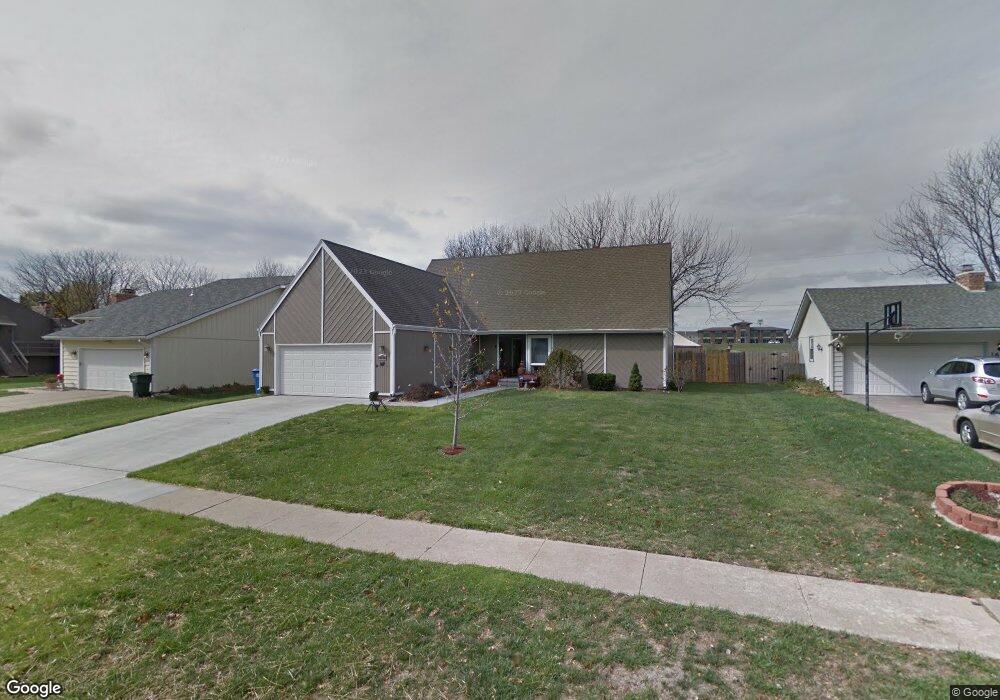
2649 SW Ashworth Place Topeka, KS 66614
Southwest Topeka NeighborhoodEstimated Value: $274,000 - $318,000
4
Beds
2
Baths
1,881
Sq Ft
$152/Sq Ft
Est. Value
About This Home
This home is located at 2649 SW Ashworth Place, Topeka, KS 66614 and is currently estimated at $286,342, approximately $152 per square foot. 2649 SW Ashworth Place is a home located in Shawnee County with nearby schools including McClure Elementary School, Marjorie French Middle School, and Topeka West High School.
Ownership History
Date
Name
Owned For
Owner Type
Purchase Details
Closed on
Jul 25, 2008
Sold by
Hege Michael H and Spanier Victoria A
Bought by
Andrews Theo E and Cavalieri Beckey L
Current Estimated Value
Purchase Details
Closed on
Oct 28, 2005
Sold by
Gerdel Douglas P and Gerdel Patricia S
Bought by
Andrews Theo E and Cavalieri Beckey L
Home Financials for this Owner
Home Financials are based on the most recent Mortgage that was taken out on this home.
Original Mortgage
$80,500
Interest Rate
5.73%
Mortgage Type
New Conventional
Create a Home Valuation Report for This Property
The Home Valuation Report is an in-depth analysis detailing your home's value as well as a comparison with similar homes in the area
Home Values in the Area
Average Home Value in this Area
Purchase History
| Date | Buyer | Sale Price | Title Company |
|---|---|---|---|
| Andrews Theo E | -- | Capital Title Insurance Comp | |
| Andrews Theo E | -- | None Available |
Source: Public Records
Mortgage History
| Date | Status | Borrower | Loan Amount |
|---|---|---|---|
| Previous Owner | Andrews Theo E | $80,500 |
Source: Public Records
Tax History Compared to Growth
Tax History
| Year | Tax Paid | Tax Assessment Tax Assessment Total Assessment is a certain percentage of the fair market value that is determined by local assessors to be the total taxable value of land and additions on the property. | Land | Improvement |
|---|---|---|---|---|
| 2025 | $3,806 | $27,253 | -- | -- |
| 2023 | $3,806 | $25,940 | $0 | $0 |
| 2022 | $3,522 | $23,369 | $0 | $0 |
| 2021 | $3,207 | $20,321 | $0 | $0 |
| 2020 | $3,048 | $19,539 | $0 | $0 |
| 2019 | $2,975 | $18,970 | $0 | $0 |
| 2018 | $2,890 | $18,418 | $0 | $0 |
| 2017 | $2,811 | $17,882 | $0 | $0 |
| 2014 | $2,728 | $17,194 | $0 | $0 |
Source: Public Records
Map
Nearby Homes
- 6040 SW 25th St
- 5719 SW 27th St
- 6054 SW 25th St
- 8008 SW 26th Terrace Unit Lot 8, Block B
- 8016 SW 26th Terrace Unit Lot 10, Block B
- 000 U S 75
- 000 SW Armstrong Ave
- 5859 SW 22nd Terrace Unit 3
- 3101 SW Wanamaker Dr Unit 13
- 5725 SW Quail Cove Cir
- 2952 SW Woodstock Ln
- 0000 SW 22nd Terrace
- 3101 SW Muirfield Ct
- 3022 SW Hunters Ln
- 5623 SW Hawick Ln
- 3019 SW Arrowhead Rd
- 6351 SW 25th St
- 2504 SW Kingsrow Rd
- 2906 SW Foxcroft 3 Ct
- 2433 SW Camelot Place
- 2655 SW Ashworth Place
- 2643 SW Ashworth Place
- 2637 SW Ashworth Place
- 2661 SW Ashworth Place
- 2648 SW Ashworth Place
- 2642 SW Ashworth Place
- 2654 SW Ashworth Place
- 2631 SW Ashworth Place
- 2636 SW Ashworth Place
- 2660 SW Ashworth Place
- 2630 SW Ashworth Place
- 2625 SW Ashworth Place
- 2641 SW Westport Dr
- 2701 SW Ashworth Place
- 2637 SW Westport Dr
- 2645 SW Westport Dr
- 2624 SW Ashworth Place
- 2633 SW Westport Dr
- 2651 SW Westport Dr
- 2619 SW Ashworth Place