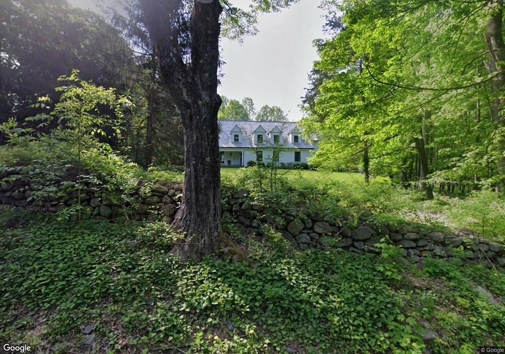
265 Banks Rd Easton, CT 06612
Estimated Value: $819,000 - $915,290
3
Beds
3
Baths
2,828
Sq Ft
$307/Sq Ft
Est. Value
About This Home
This home is located at 265 Banks Rd, Easton, CT 06612 and is currently estimated at $867,073, approximately $306 per square foot. 265 Banks Rd is a home located in Fairfield County with nearby schools including Samuel Staples Elementary School, Helen Keller Middle School, and Joel Barlow High School.
Ownership History
Date
Name
Owned For
Owner Type
Purchase Details
Closed on
Oct 1, 2007
Sold by
Mccaffrey Karen Joan
Bought by
Scanlon Patricia F and Scanlon Jeffrey B
Current Estimated Value
Purchase Details
Closed on
Aug 9, 1999
Sold by
Minser William J and Minser Shirley A
Bought by
Calderbank Charles G and Calderbank Alenda
Purchase Details
Closed on
Nov 29, 1994
Sold by
Diversified Coolidge
Bought by
Mccaffrey Karen Joan
Purchase Details
Closed on
Jun 29, 1987
Sold by
Fuhro Marcel
Bought by
Freeman Peter A
Create a Home Valuation Report for This Property
The Home Valuation Report is an in-depth analysis detailing your home's value as well as a comparison with similar homes in the area
Home Values in the Area
Average Home Value in this Area
Purchase History
| Date | Buyer | Sale Price | Title Company |
|---|---|---|---|
| Scanlon Patricia F | $750,000 | -- | |
| Scanlon Patricia F | $750,000 | -- | |
| Calderbank Charles G | $217,580 | -- | |
| Mccaffrey Karen Joan | $200,000 | -- | |
| Mccaffrey Karen Joan | $200,000 | -- | |
| Freeman Peter A | $285,000 | -- |
Source: Public Records
Mortgage History
| Date | Status | Borrower | Loan Amount |
|---|---|---|---|
| Open | Freeman Peter A | $250,000 | |
| Previous Owner | Freeman Peter A | $260,500 |
Source: Public Records
Tax History Compared to Growth
Tax History
| Year | Tax Paid | Tax Assessment Tax Assessment Total Assessment is a certain percentage of the fair market value that is determined by local assessors to be the total taxable value of land and additions on the property. | Land | Improvement |
|---|---|---|---|---|
| 2025 | $10,980 | $354,200 | $154,980 | $199,220 |
| 2024 | $10,463 | $354,200 | $154,980 | $199,220 |
| 2023 | $10,258 | $354,200 | $154,980 | $199,220 |
| 2022 | $10,073 | $354,200 | $154,980 | $199,220 |
| 2021 | $12,595 | $389,350 | $200,450 | $188,900 |
| 2020 | $12,070 | $389,350 | $200,450 | $188,900 |
| 2019 | $12,198 | $389,350 | $200,450 | $188,900 |
| 2018 | $12,218 | $389,350 | $200,450 | $188,900 |
| 2017 | $12,997 | $389,350 | $200,450 | $188,900 |
| 2016 | $12,385 | $401,980 | $231,960 | $170,020 |
| 2015 | $12,212 | $401,980 | $231,960 | $170,020 |
| 2014 | $11,956 | $399,860 | $231,960 | $167,900 |
Source: Public Records
Map
Nearby Homes
- 354 Black Rock Turnpike
- 80 Norton Rd
- 39 Sunset Rd
- 48 Sunset Rd
- 18 Wells Hill Rd
- 100 Honeysuckle Hill Ln
- 305 Sport Hill Rd
- 100 E Common Rd
- 76 Burr St
- 90 Redding Rd
- 16 Manor Ln
- 63 Flat Rock Dr
- 3 Mayflower Ln
- 38 Chester Rd
- 85 Westport Rd
- 64 Old Redding Rd
- 68 High Ridge Rd
- 8 Messex Ln
- 29 Old Stage Coach Rd
- 35 Sturbridge Rd