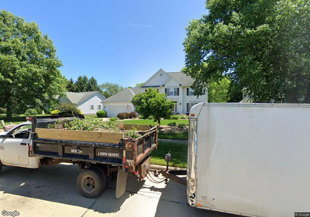
265 Brookpoint Cir Wadsworth, OH 44281
Estimated Value: $406,000 - $470,000
4
Beds
3
Baths
2,516
Sq Ft
$175/Sq Ft
Est. Value
About This Home
This home is located at 265 Brookpoint Cir, Wadsworth, OH 44281 and is currently estimated at $439,729, approximately $174 per square foot. 265 Brookpoint Cir is a home located in Medina County with nearby schools including Valley View Elementary School, Central Intermediate School, and Wadsworth Middle School.
Ownership History
Date
Name
Owned For
Owner Type
Purchase Details
Closed on
Dec 2, 2000
Sold by
Doyle Patrick T and Doyle Bernadine A
Bought by
Perrin David W and Perrin Kristin L
Current Estimated Value
Home Financials for this Owner
Home Financials are based on the most recent Mortgage that was taken out on this home.
Original Mortgage
$183,840
Outstanding Balance
$67,747
Interest Rate
7.7%
Estimated Equity
$371,982
Purchase Details
Closed on
Sep 12, 1996
Sold by
L B Wright Inc
Bought by
Doyle Patrick T and Doyle Bermadine
Home Financials for this Owner
Home Financials are based on the most recent Mortgage that was taken out on this home.
Original Mortgage
$130,000
Interest Rate
8.29%
Mortgage Type
New Conventional
Purchase Details
Closed on
Oct 30, 1995
Sold by
Regal Dev Corp
Bought by
Lb Wright Inc
Create a Home Valuation Report for This Property
The Home Valuation Report is an in-depth analysis detailing your home's value as well as a comparison with similar homes in the area
Home Values in the Area
Average Home Value in this Area
Purchase History
| Date | Buyer | Sale Price | Title Company |
|---|---|---|---|
| Perrin David W | $229,800 | -- | |
| Doyle Patrick T | $203,400 | -- | |
| Lb Wright Inc | $40,000 | -- |
Source: Public Records
Mortgage History
| Date | Status | Borrower | Loan Amount |
|---|---|---|---|
| Open | Perrin David W | $183,840 | |
| Closed | Doyle Patrick T | $130,000 |
Source: Public Records
Tax History
| Year | Tax Paid | Tax Assessment Tax Assessment Total Assessment is a certain percentage of the fair market value that is determined by local assessors to be the total taxable value of land and additions on the property. | Land | Improvement |
|---|---|---|---|---|
| 2024 | $6,459 | $129,210 | $26,250 | $102,960 |
| 2023 | $5,703 | $129,210 | $26,250 | $102,960 |
| 2022 | $5,706 | $129,210 | $26,250 | $102,960 |
| 2021 | $5,407 | $103,370 | $21,000 | $82,370 |
| 2020 | $4,766 | $103,370 | $21,000 | $82,370 |
| 2019 | $4,773 | $103,370 | $21,000 | $82,370 |
| 2018 | $4,439 | $90,240 | $21,560 | $68,680 |
| 2017 | $4,441 | $90,240 | $21,560 | $68,680 |
| 2016 | $4,514 | $90,240 | $21,560 | $68,680 |
| 2015 | $4,452 | $82,790 | $19,780 | $63,010 |
| 2014 | $4,414 | $82,790 | $19,780 | $63,010 |
| 2013 | $4,420 | $82,790 | $19,780 | $63,010 |
Source: Public Records
Map
Nearby Homes
- 190 Deepwood Dr
- 1138 Ledgestone Dr
- 137 Stauffer Dr
- 976 Rosemarie Cir Unit 68
- 330 Deepwood Dr
- 346 Deepwood Dr
- 1045 Ashley Taylor Ct Unit 14
- 1411 Tullamore Trail
- 1445 Tullamore Trail
- 290 Park Place Dr Unit 72
- 4896 Ridge Rd
- 236 Knollwood Dr
- 579 West St
- 681 Highland Ave
- 7553 John Arthur Ln
- 7565 John Arthur Ln
- 7569 John Arthur Ln
- 1250 Reserve Blvd
- 221 Franks Ave
- 1662 Cobham Ln
- 275 Brookpoint Cir
- 253 Brookpoint Cir
- 1114 Clark Rd
- 1122 Clark Rd
- 285 Brookpoint Cir
- 1108 Clark Rd
- 1128 Clark Rd
- 266 Brookpoint Cir
- 245 Brookpoint Cir
- 1100 Clark Rd
- 1136 Clark Rd
- 319 Laurel Ln
- 252 Brookpoint Cir
- 1142 Clark Rd
- 1094 Clark Rd
- 239 Brookpoint Cir
- 295 Brookpoint Cir
- 328 Laurel Ln
- 1086 Clark Rd
- 242 Brookpoint Cir
Your Personal Tour Guide
Ask me questions while you tour the home.