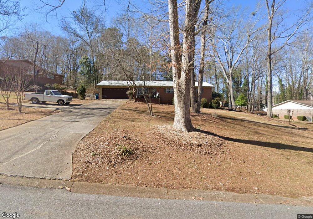
265 Cavalier Rd Athens, GA 30606
Estimated Value: $252,776 - $338,000
Studio
--
Bath
1,584
Sq Ft
$190/Sq Ft
Est. Value
About This Home
This home is located at 265 Cavalier Rd, Athens, GA 30606 and is currently estimated at $300,444, approximately $189 per square foot. 265 Cavalier Rd is a home located in Clarke County with nearby schools including Cleveland Road Elementary School, Burney-Harris-Lyons Middle School, and Clarke Central High School.
Ownership History
Date
Name
Owned For
Owner Type
Purchase Details
Closed on
Jan 12, 2005
Sold by
Crockford Barbara H
Bought by
Crockford Paul J
Current Estimated Value
Create a Home Valuation Report for This Property
The Home Valuation Report is an in-depth analysis detailing your home's value as well as a comparison with similar homes in the area
Purchase History
| Date | Buyer | Sale Price | Title Company |
|---|---|---|---|
| Crockford Paul J | -- | -- | |
| Crockford Paul J | -- | -- |
Source: Public Records
Tax History
| Year | Tax Paid | Tax Assessment Tax Assessment Total Assessment is a certain percentage of the fair market value that is determined by local assessors to be the total taxable value of land and additions on the property. | Land | Improvement |
|---|---|---|---|---|
| 2025 | $2,167 | $94,946 | $12,000 | $82,946 |
| 2024 | $2,167 | $89,752 | $12,000 | $77,752 |
| 2023 | $1,503 | $83,093 | $12,000 | $71,093 |
| 2022 | $1,874 | $68,731 | $10,400 | $58,331 |
| 2021 | $1,658 | $59,187 | $10,400 | $48,787 |
| 2020 | $1,553 | $56,087 | $10,400 | $45,687 |
| 2019 | $1,415 | $51,684 | $9,600 | $42,084 |
| 2018 | $1,276 | $47,582 | $9,600 | $37,982 |
| 2017 | $1,175 | $44,600 | $9,600 | $35,000 |
| 2016 | $1,062 | $41,278 | $9,600 | $31,678 |
| 2015 | $1,077 | $41,678 | $9,600 | $32,078 |
| 2014 | $1,084 | $41,822 | $9,600 | $32,222 |
Source: Public Records
Map
Nearby Homes
- 170 Huntington Ct
- 532 Huntington Rd Unit 7
- 470 Huntington Rd Unit 5
- 460 Huntington Rd
- 256 Cherokee Ridge
- 141 Mountain Laurel Run
- 637 Huntington Rd Unit C2
- 637 Huntington Rd Unit 2
- 637 Huntington Rd Unit B1
- 116 Laurel Springs Dr
- 284 Meeler Cir
- 212 Huntington Shoals Dr
- 272 Chesterfield Rd
- 257 Meeler Cir
- 150 The Preserve Dr Unit H2
- 201 Chesterfield Rd
- 210 Arrowhead Rd
- 241 Meeler Cir
- 224 Westpark Dr
- 375 Wilde Oak Place
- 255 Cavalier Rd
- 281 Cavalier Rd
- 247 Cavalier Rd
- 289 Cavalier Rd
- 260 Cavalier Rd
- 190 Biscayne Dr
- 200 Biscayne Dr
- 268 Cavalier Rd
- 237 Cavalier Rd
- 272 Cavalier Rd
- 180 Biscayne Dr
- 256 Cavalier Rd
- 278 Cavalier Rd
- 210 Biscayne Dr
- 252 Cavalier Rd
- 170 Biscayne Dr
- 235 Cavalier Rd
- 286 Cavalier Rd
- 299 Cavalier Rd
- 160 Biscayne Dr
Your Personal Tour Guide
Ask me questions while you tour the home.