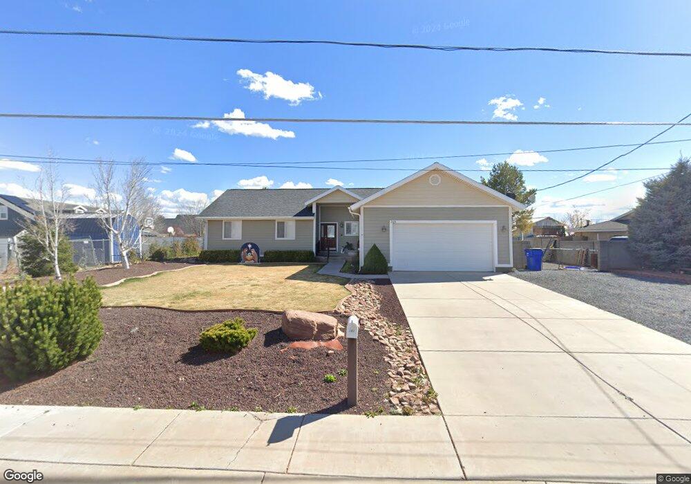
265 E 9th St S Snowflake, AZ 85937
Estimated Value: $315,000 - $491,000
Studio
--
Bath
1,878
Sq Ft
$204/Sq Ft
Est. Value
About This Home
This home is located at 265 E 9th St S, Snowflake, AZ 85937 and is currently estimated at $383,645, approximately $204 per square foot. 265 E 9th St S is a home located in Navajo County with nearby schools including Highland Primary School, Snowflake Intermediate School, and Snowflake Junior High School.
Ownership History
Date
Name
Owned For
Owner Type
Purchase Details
Closed on
May 2, 2008
Sold by
Mills Colby and Mills Charlene
Bought by
Mills Colby and Mills Charlene
Current Estimated Value
Home Financials for this Owner
Home Financials are based on the most recent Mortgage that was taken out on this home.
Original Mortgage
$185,000
Interest Rate
5.8%
Mortgage Type
Stand Alone Refi Refinance Of Original Loan
Purchase Details
Closed on
Mar 7, 2007
Sold by
Mills Dranel and Mills Lorec
Bought by
Mills Colby and Mills Charlene
Create a Home Valuation Report for This Property
The Home Valuation Report is an in-depth analysis detailing your home's value as well as a comparison with similar homes in the area
Home Values in the Area
Average Home Value in this Area
Purchase History
| Date | Buyer | Sale Price | Title Company |
|---|---|---|---|
| Mills Colby | -- | Transnation Title | |
| Mills Colby | -- | None Available | |
| Mills Colby | -- | None Available |
Source: Public Records
Mortgage History
| Date | Status | Borrower | Loan Amount |
|---|---|---|---|
| Closed | Mills Colby | $185,000 |
Source: Public Records
Tax History
| Year | Tax Paid | Tax Assessment Tax Assessment Total Assessment is a certain percentage of the fair market value that is determined by local assessors to be the total taxable value of land and additions on the property. | Land | Improvement |
|---|---|---|---|---|
| 2026 | $749 | -- | -- | -- |
| 2025 | $728 | $32,249 | $3,676 | $28,573 |
| 2024 | $777 | $31,910 | $3,196 | $28,714 |
| 2023 | $728 | $24,250 | $643 | $23,607 |
| 2022 | $777 | $0 | $0 | $0 |
| 2021 | $843 | $0 | $0 | $0 |
| 2020 | $848 | $0 | $0 | $0 |
| 2019 | $831 | $0 | $0 | $0 |
| 2018 | $805 | $0 | $0 | $0 |
| 2017 | $787 | $0 | $0 | $0 |
| 2016 | $806 | $0 | $0 | $0 |
| 2015 | $707 | $8,701 | $923 | $7,778 |
Source: Public Records
Map
Nearby Homes
- 0 S Main St
- 999 S Highland Dr
- 0 S 1st St W
- 7545 E Sherwood Ln Unit R
- 7545 E Sherwood Ln
- 1537 S Main St
- 854 W 2nd South St
- 44 S 3rd St W Unit W
- 44 S 3rd St W
- 294 First Base Ln
- 461 W Center St
- 276 N 2nd St W Unit West
- 0 W 19th St S
- 1251 E Snowflake Blvd
- 4141 W Juniper Crest Rd
- 4123 W Juniper Crest Rd
- 1033 E Adams St
- 1058 E Adams St
- 1134 Jefferson St
- 1050 E Jefferson St
- 191 E 9th St S
- 285 E 9th St S
- 252 E 10th St S
- 220 E 9th St S
- 284 E 10th St S
- 119 E 9th St S
- 118 E 9th St S
- 222 E 9th St S
- 235 E 9th St S
- 128 E Austin Dr
- 861 S 2nd St E
- 103 W 7th St S
- 860 S 3rd St E
- 883 S 3rd St E
- 209 E 10th St S
- 257 E 9th St S
- 98 E Austin Dr
- 865 1st St E
- 865 E 1/2 St N
- 861 S 3rd St E
Your Personal Tour Guide
Ask me questions while you tour the home.