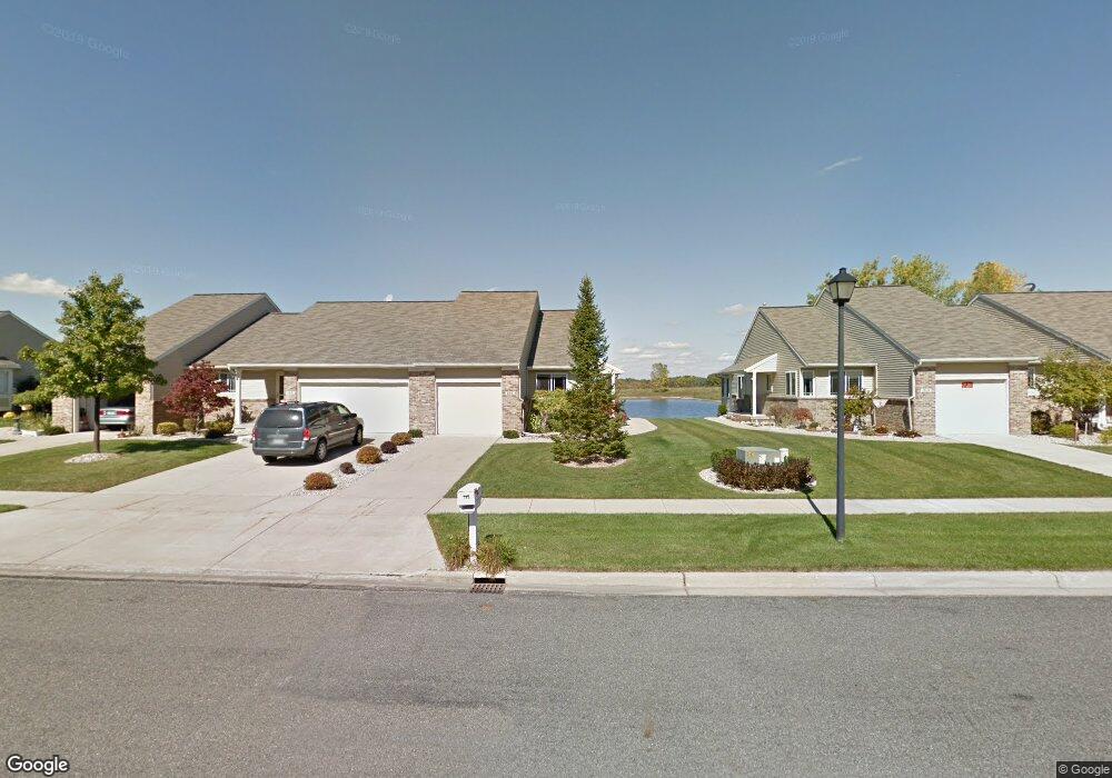
265 E North St Unit 10 Hastings, MI 49058
Estimated Value: $229,000 - $272,000
2
Beds
2
Baths
854
Sq Ft
$290/Sq Ft
Est. Value
About This Home
This home is located at 265 E North St Unit 10, Hastings, MI 49058 and is currently estimated at $247,334, approximately $289 per square foot. 265 E North St Unit 10 is a home located in Barry County with nearby schools including Hastings High School and St. Rose of Lima School.
Ownership History
Date
Name
Owned For
Owner Type
Purchase Details
Closed on
Sep 10, 2018
Sold by
Allerding Rita M
Bought by
Symonds Brenda L
Current Estimated Value
Home Financials for this Owner
Home Financials are based on the most recent Mortgage that was taken out on this home.
Original Mortgage
$159,400
Outstanding Balance
$139,019
Interest Rate
4.6%
Estimated Equity
$108,315
Purchase Details
Closed on
May 14, 2004
Sold by
North Ridge Investors Llc
Bought by
Allerding Rita M
Create a Home Valuation Report for This Property
The Home Valuation Report is an in-depth analysis detailing your home's value as well as a comparison with similar homes in the area
Home Values in the Area
Average Home Value in this Area
Purchase History
| Date | Buyer | Sale Price | Title Company |
|---|---|---|---|
| Symonds Brenda L | $169,400 | Bell Title Agency | |
| Allerding Rita M | $135,398 | -- |
Source: Public Records
Mortgage History
| Date | Status | Borrower | Loan Amount |
|---|---|---|---|
| Open | Symonds Brenda L | $159,400 |
Source: Public Records
Tax History Compared to Growth
Tax History
| Year | Tax Paid | Tax Assessment Tax Assessment Total Assessment is a certain percentage of the fair market value that is determined by local assessors to be the total taxable value of land and additions on the property. | Land | Improvement |
|---|---|---|---|---|
| 2025 | $3,171 | $112,500 | $0 | $0 |
| 2024 | $3,171 | $107,000 | $0 | $0 |
| 2023 | $2,920 | $80,600 | $0 | $0 |
| 2022 | $2,920 | $80,600 | $0 | $0 |
| 2021 | $2,920 | $77,900 | $0 | $0 |
| 2020 | $2,920 | $79,800 | $0 | $0 |
| 2019 | $2,920 | $71,000 | $0 | $0 |
| 2018 | $0 | $72,000 | $0 | $0 |
| 2017 | $0 | $74,000 | $0 | $0 |
| 2016 | -- | $60,500 | $0 | $0 |
| 2015 | -- | $60,800 | $0 | $0 |
| 2014 | -- | $60,800 | $0 | $0 |
Source: Public Records
Map
Nearby Homes
- 210 Thorn Hill Ct
- 800 Bachman Rd
- V/L S M 43 Hwy
- 303 E Colfax St
- 414 W State Rd
- 520 E Thorn St
- 321 N Taffee Dr
- 700 E Woodlawn Ave
- 403 W Mill St
- 000 E Mill St
- 1702 N M 43 Hwy
- 510 E State St
- 502 W State St
- 112 E Green St
- 32 B Dr
- 528 S Jefferson St
- 428 W Walnut St
- 504 S Washington St
- 619 S Hayes St
- 536 E Bond St
- 263 E North St Unit 11
- 313 E North St Unit 9
- 261 E North St Unit 12
- 315 E North St
- 315 E North St Unit 3
- 317 E North St Unit 7
- 249 E North St Unit 13
- 247 E North St Unit 14
- 600 E North St
- 331 E North St Unit 6
- 245 E North St Unit 15
- 310 E North St
- 310 E North St Unit 17
- 312 E North St Unit 18
- 333 E North St Unit 5
- 243 E North St Unit 16
- 314 E North St Unit 19
- 335 E North St
- 335 E North St Unit 4
- 322 E North St