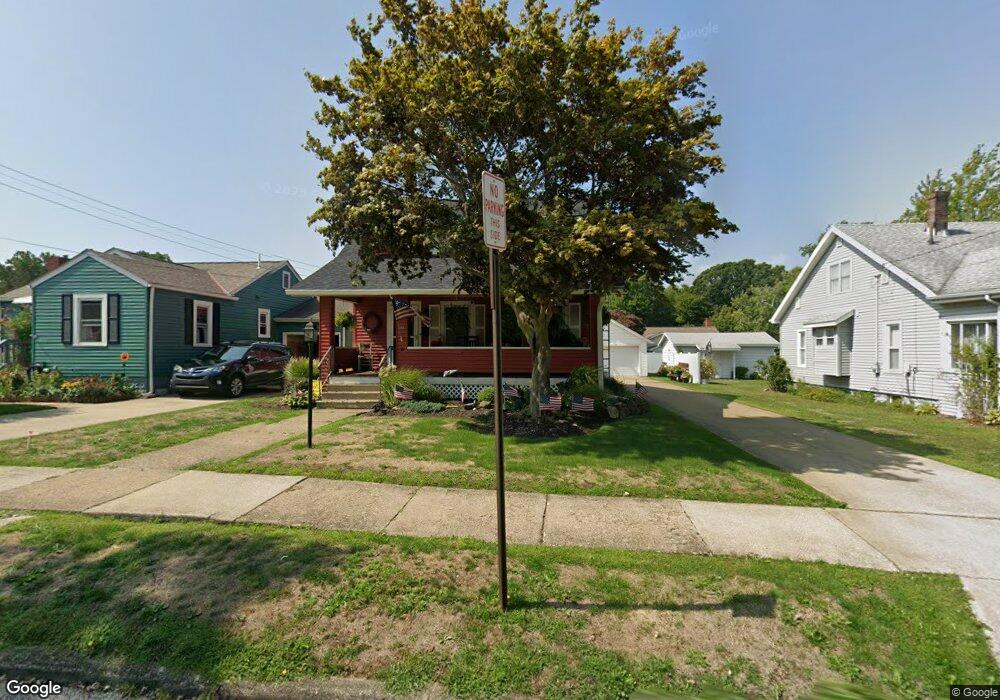
265 Fifield Ave Conneaut, OH 44030
Estimated Value: $165,000 - $182,000
3
Beds
1
Bath
1,326
Sq Ft
$129/Sq Ft
Est. Value
About This Home
This home is located at 265 Fifield Ave, Conneaut, OH 44030 and is currently estimated at $171,324, approximately $129 per square foot. 265 Fifield Ave is a home located in Ashtabula County with nearby schools including Lakeshore Primary Elementary School, Gateway Elementary School, and Conneaut Middle School.
Ownership History
Date
Name
Owned For
Owner Type
Purchase Details
Closed on
Jun 29, 2021
Sold by
Carlucci Jodi L and Pakkala Bruce J
Bought by
Pakkala Jodi L and Pakkala Bruce J
Current Estimated Value
Home Financials for this Owner
Home Financials are based on the most recent Mortgage that was taken out on this home.
Original Mortgage
$88,000
Interest Rate
2.9%
Mortgage Type
New Conventional
Purchase Details
Closed on
Apr 12, 2004
Sold by
Merritt William H
Bought by
Carlucci Jodi L
Home Financials for this Owner
Home Financials are based on the most recent Mortgage that was taken out on this home.
Original Mortgage
$69,350
Interest Rate
5.99%
Mortgage Type
Unknown
Create a Home Valuation Report for This Property
The Home Valuation Report is an in-depth analysis detailing your home's value as well as a comparison with similar homes in the area
Home Values in the Area
Average Home Value in this Area
Purchase History
| Date | Buyer | Sale Price | Title Company |
|---|---|---|---|
| Pakkala Jodi L | -- | None Listed On Document | |
| Carlucci Jodi L | $73,000 | Chicago Title Agency |
Source: Public Records
Mortgage History
| Date | Status | Borrower | Loan Amount |
|---|---|---|---|
| Previous Owner | Pakkala Jodi L | $88,000 | |
| Previous Owner | Carlucci Jodi L | $69,350 |
Source: Public Records
Tax History
| Year | Tax Paid | Tax Assessment Tax Assessment Total Assessment is a certain percentage of the fair market value that is determined by local assessors to be the total taxable value of land and additions on the property. | Land | Improvement |
|---|---|---|---|---|
| 2024 | $3,344 | $45,710 | $4,200 | $41,510 |
| 2023 | $2,124 | $45,710 | $4,200 | $41,510 |
| 2022 | $1,822 | $33,950 | $3,220 | $30,730 |
| 2021 | $1,824 | $33,950 | $3,220 | $30,730 |
| 2020 | $1,823 | $33,950 | $3,220 | $30,730 |
| 2019 | $1,397 | $25,520 | $1,680 | $23,840 |
| 2018 | $1,332 | $25,520 | $1,680 | $23,840 |
| 2017 | $605 | $23,240 | $1,680 | $21,560 |
| 2016 | $1,162 | $24,330 | $1,790 | $22,540 |
| 2015 | $1,174 | $24,330 | $1,790 | $22,540 |
| 2014 | $1,034 | $24,330 | $1,790 | $22,540 |
| 2013 | $955 | $23,100 | $2,660 | $20,440 |
Source: Public Records
Map
Nearby Homes
- 247 Whitney St
- 855 Spring St Unit S9
- 238 Whitney St
- 745 Maple Ave
- 110 Edgewood Dr
- 210 W Main Rd
- 202 W Main Rd Unit 132
- 202 W Main Rd Unit 115
- 18 Hillcrest Ct
- 536 Madison St
- 474 Sherman St
- 475 State St
- 220 Daniels Ave
- 1145 Lake Rd
- VL Center Rd
- 1150 Lake Rd
- 2663 Lake Rd
- 375 Bliss Ave
- 555 Wrights Ave
- 536 Mill St
Your Personal Tour Guide
Ask me questions while you tour the home.