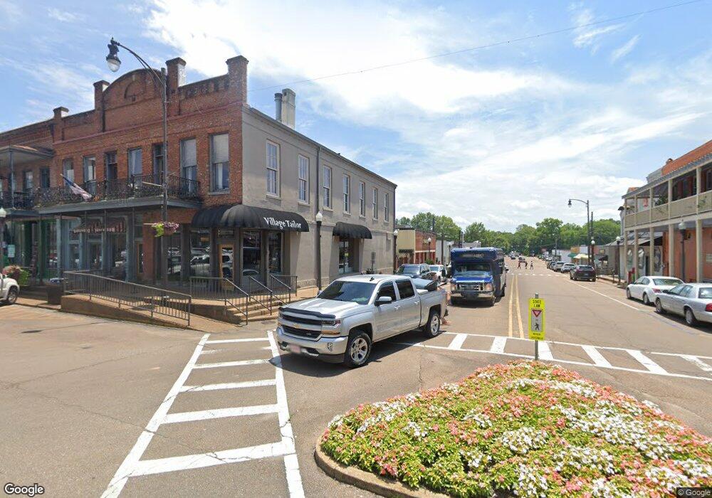
265 Hwy 30 E Oxford, MI 38655
Estimated Value: $318,000 - $383,000
3
Beds
2
Baths
2,103
Sq Ft
$171/Sq Ft
Est. Value
About This Home
This home is located at 265 Hwy 30 E, Oxford, MI 38655 and is currently estimated at $359,474, approximately $170 per square foot. 265 Hwy 30 E is a home located in Lafayette County with nearby schools including Della Davidson Elementary School, Bramlett Elementary School, and Central Elementary School.
Ownership History
Date
Name
Owned For
Owner Type
Purchase Details
Closed on
Jul 12, 2021
Sold by
Clark William Blake and Estate Of Billy D Clark
Bought by
Abrams Timothy Jerome and Abrams Hannah G
Current Estimated Value
Home Financials for this Owner
Home Financials are based on the most recent Mortgage that was taken out on this home.
Original Mortgage
$206,646
Outstanding Balance
$187,499
Interest Rate
2.9%
Mortgage Type
VA
Estimated Equity
$171,975
Purchase Details
Closed on
Jul 1, 2005
Sold by
Boyd Jeffery M and Boyd Amy G
Bought by
Clark Billy D and Clark Martha
Home Financials for this Owner
Home Financials are based on the most recent Mortgage that was taken out on this home.
Original Mortgage
$156,192
Interest Rate
5.54%
Mortgage Type
Unknown
Create a Home Valuation Report for This Property
The Home Valuation Report is an in-depth analysis detailing your home's value as well as a comparison with similar homes in the area
Home Values in the Area
Average Home Value in this Area
Purchase History
| Date | Buyer | Sale Price | Title Company |
|---|---|---|---|
| Abrams Timothy Jerome | -- | None Available | |
| Clark Billy D | -- | None Available |
Source: Public Records
Mortgage History
| Date | Status | Borrower | Loan Amount |
|---|---|---|---|
| Open | Abrams Timothy Jerome | $206,646 | |
| Previous Owner | Clark Billy D | $156,192 |
Source: Public Records
Tax History Compared to Growth
Tax History
| Year | Tax Paid | Tax Assessment Tax Assessment Total Assessment is a certain percentage of the fair market value that is determined by local assessors to be the total taxable value of land and additions on the property. | Land | Improvement |
|---|---|---|---|---|
| 2024 | $2,508 | $24,707 | $0 | $0 |
| 2023 | $2,508 | $24,833 | $0 | $0 |
| 2022 | $2,471 | $24,833 | $0 | $0 |
| 2021 | $943 | $24,833 | $0 | $0 |
| 2020 | $330 | $16,427 | $0 | $0 |
| 2019 | $330 | $16,427 | $0 | $0 |
| 2018 | $330 | $16,427 | $0 | $0 |
| 2017 | $330 | $16,427 | $0 | $0 |
| 2016 | $282 | $15,397 | $0 | $0 |
| 2015 | -- | $15,397 | $0 | $0 |
| 2014 | -- | $15,397 | $0 | $0 |
Source: Public Records
Map
Nearby Homes
- 205 Forest Ridge Dr
- 19 County Road 220
- 500 Timber Hollow Ln
- 369 Highway 30 E
- 137 Hwy 30 E
- 102 Leatherwood Rd
- 141 Downing St
- 2873 Berkshire Dr
- 2199 Woodbine Cove
- 115 Post Oak Dr
- tbd Hwy 6 W
- 139 Cr 427
- 154 Downing St
- TBD Cr 207
- 304 Lakewood Hill Dr
- 914 Georgia Oak Cove
- 810 Bear Oak Pointe
- 0
- 0
- Cannon Rd
- 265 Highway 30 E
- 263 Highway 30 E
- 269 Highway 30 E
- 271 Highway 30 E
- 271 Mississippi 30
- 267 Mississippi 30
- 6 County Road 223
- 1 County Road 2065
- 46 County Road 2065
- 270 Mississippi 30
- 270 Highway 30 E
- 3 County Road 223
- 3 Cr 223
- 3 County Road 2065
- 4 Cr 2065
- 9 County Road 223
- 10 County Road 2065
- 5 County Road 2065
- 7 County Road 2065
- 275 Highway 30 E
