265 Lansing Island Dr Indian Harbour Beach, FL 32937
Estimated Value: $3,162,000 - $3,599,586
5
Beds
4
Baths
7,743
Sq Ft
$442/Sq Ft
Est. Value
About This Home
This home is located at 265 Lansing Island Dr, Indian Harbour Beach, FL 32937 and is currently estimated at $3,426,195, approximately $442 per square foot. 265 Lansing Island Dr is a home located in Brevard County with nearby schools including Satellite Senior High School, Ocean Breeze Elementary School, and DeLaura Middle School.
Ownership History
Date
Name
Owned For
Owner Type
Purchase Details
Closed on
Feb 28, 2003
Sold by
Fletcher Donald J
Bought by
Love Richard P and Love Marguerite
Current Estimated Value
Home Financials for this Owner
Home Financials are based on the most recent Mortgage that was taken out on this home.
Original Mortgage
$600,000
Outstanding Balance
$259,257
Interest Rate
5.95%
Estimated Equity
$3,166,938
Purchase Details
Closed on
Jul 31, 2001
Sold by
South Island Dev Corp
Bought by
Fletcher Donald J
Create a Home Valuation Report for This Property
The Home Valuation Report is an in-depth analysis detailing your home's value as well as a comparison with similar homes in the area
Home Values in the Area
Average Home Value in this Area
Purchase History
| Date | Buyer | Sale Price | Title Company |
|---|---|---|---|
| Love Richard P | $700,000 | -- | |
| Fletcher Donald J | $595,000 | -- |
Source: Public Records
Mortgage History
| Date | Status | Borrower | Loan Amount |
|---|---|---|---|
| Open | Love Richard P | $600,000 |
Source: Public Records
Tax History Compared to Growth
Tax History
| Year | Tax Paid | Tax Assessment Tax Assessment Total Assessment is a certain percentage of the fair market value that is determined by local assessors to be the total taxable value of land and additions on the property. | Land | Improvement |
|---|---|---|---|---|
| 2025 | $34,899 | $2,001,100 | -- | -- |
| 2024 | $34,593 | $1,944,710 | -- | -- |
| 2023 | $34,593 | $1,888,070 | $0 | $0 |
| 2022 | $32,722 | $1,833,080 | $0 | $0 |
| 2021 | $34,164 | $1,779,690 | $0 | $0 |
| 2020 | $34,170 | $1,755,120 | $553,500 | $1,201,620 |
| 2019 | $35,118 | $1,764,160 | $0 | $0 |
| 2018 | $35,322 | $1,731,270 | $0 | $0 |
| 2017 | $34,270 | $1,695,670 | $0 | $0 |
| 2016 | $34,552 | $1,660,800 | $615,000 | $1,045,800 |
| 2015 | $35,476 | $1,649,260 | $522,750 | $1,126,510 |
| 2014 | $35,623 | $1,636,180 | $522,750 | $1,113,430 |
Source: Public Records
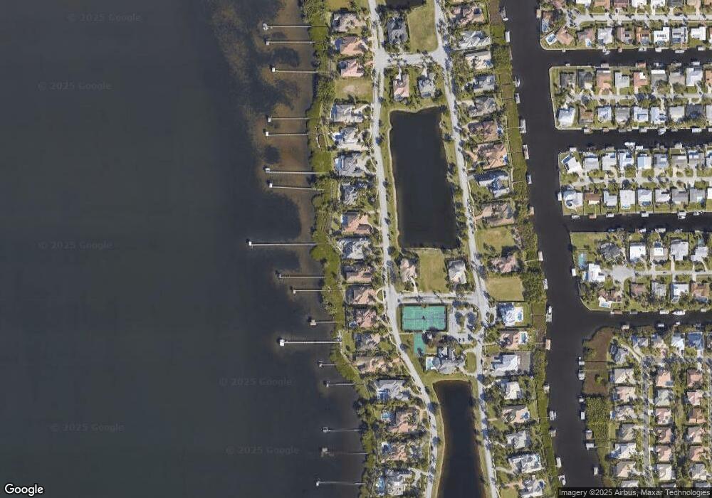
Map
Nearby Homes
- 257 Lansing Island Dr
- 240 Lansing Island Dr
- 327 Lansing Island Dr
- 1341 S Patrick Dr
- 595 Park Ave Unit 1
- 630 Seville Ct
- 545 Teakwood Ave
- 502 Bay Cir
- 443 Hawthorne Ct
- 426 Hawthorne Ct Unit G2
- 702 Mar Brisa Ct Unit U702
- 695 Jackson Ct
- 10060 S Tropical Trail
- 10060* S Tropical Way
- 408 Hawthorne Ct
- 10100 S Tropical Trail
- 100 Matthews St
- 445 Saint Johns Dr
- 445 Park Ave
- 527 Summerset Ct
- 261 Lansing Island Dr
- 269 Lansing Island Dr
- 257 Lansing Island
- 273 Lansing Island Dr
- 720 Clubhouse Way
- 253 Lansing Island Dr
- 277 Lansing Island
- 277 Lansing Island Dr
- 710 Clubhouse Way
- 249 Lansing Island Dr
- 281 Lansing Island Dr
- 700 Clubhouse Way
- 247 Lansing Island Dr
- 266 Lansing Island Dr
- 285 Lansing Island Dr
- 245 Lansing Island Dr
- 258 Lansing Island Dr
- 270 Lansing Island Dr
- 270 Lansing Island
- 289 Lansing Island