265 Log Cabin Ln Harmony, PA 16037
Estimated Value: $362,745 - $508,000
4
Beds
3
Baths
2,486
Sq Ft
$175/Sq Ft
Est. Value
About This Home
This home is located at 265 Log Cabin Ln, Harmony, PA 16037 and is currently estimated at $435,373, approximately $175 per square foot. 265 Log Cabin Ln is a home with nearby schools including Perry Lower Intermediate School, Hartman Intermediate School, and North Side Elementary School.
Ownership History
Date
Name
Owned For
Owner Type
Purchase Details
Closed on
Aug 28, 2006
Sold by
Murray Barry J and Murray Michele R
Bought by
Murray Barry J and Murray Michele R
Current Estimated Value
Home Financials for this Owner
Home Financials are based on the most recent Mortgage that was taken out on this home.
Original Mortgage
$257,900
Interest Rate
6.79%
Mortgage Type
New Conventional
Create a Home Valuation Report for This Property
The Home Valuation Report is an in-depth analysis detailing your home's value as well as a comparison with similar homes in the area
Home Values in the Area
Average Home Value in this Area
Purchase History
| Date | Buyer | Sale Price | Title Company |
|---|---|---|---|
| Murray Barry J | -- | None Available |
Source: Public Records
Mortgage History
| Date | Status | Borrower | Loan Amount |
|---|---|---|---|
| Closed | Murray Barry J | $257,900 |
Source: Public Records
Tax History Compared to Growth
Tax History
| Year | Tax Paid | Tax Assessment Tax Assessment Total Assessment is a certain percentage of the fair market value that is determined by local assessors to be the total taxable value of land and additions on the property. | Land | Improvement |
|---|---|---|---|---|
| 2025 | $4,768 | $149,300 | $35,500 | $113,800 |
| 2024 | $4,395 | $149,300 | $35,500 | $113,800 |
| 2023 | $4,244 | $149,300 | $35,500 | $113,800 |
| 2022 | $4,125 | $149,300 | $35,500 | $113,800 |
| 2021 | $4,084 | $147,800 | $35,500 | $112,300 |
| 2020 | $3,874 | $140,200 | $35,500 | $104,700 |
| 2019 | $3,733 | $140,200 | $35,500 | $104,700 |
| 2018 | $3,733 | $140,200 | $35,500 | $104,700 |
| 2017 | $3,624 | $140,200 | $35,500 | $104,700 |
| 2016 | $1,129 | $140,200 | $35,500 | $104,700 |
| 2015 | $1,129 | $140,200 | $35,500 | $104,700 |
| 2014 | $1,129 | $140,200 | $35,500 | $104,700 |
Source: Public Records
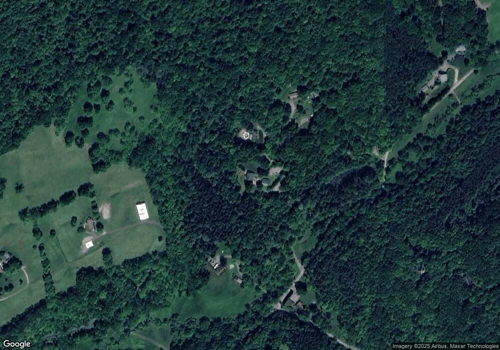
Map
Nearby Homes
- 107 Jennie Dr
- 111 American School Rd
- 100 Joshua Dr
- 3790 Grandview Rd
- 3777 Grandview Rd
- 1378 Mile Hill Rd
- 4064 State Route 488
- 134 Pfeifer Rd
- 3251 Grandview Rd
- 327 Alliance Dr
- 321 Alliance Dr
- 319 Alliance Dr
- 325 Alliance Dr
- 323 Alliance Dr
- 101 Bluestone Ct
- 104 Bluestone Ct
- 255 Camp Run Rd
- 530 Perry Hwy
- 199 Lyon Ln
- 953 Perry Hwy
- 243 Shingle Hollow Rd
- 255 Shingle Hollow Rd
- 1307 W Lancaster Rd
- 262 Shingle Hollow Rd
- 438 Bauer Ln
- 203 Shingle Hollow Rd
- 1289 W Lancaster Rd
- 268 Hawk Ln
- 409 Bauer Ln
- 1288 W Lancaster Rd
- 144 Whippoorwill Mountain Ln
- 191 Shingle Hollow Rd
- 1275 W Lancaster Rd
- 1394 W Lancaster Rd
- 257 Shingle Hollow Rd
- 182 White Tail Ridge Ln
- 1280 W Lancaster Rd
- 150 White Tail Ridge Ln
- 1276 W Lancaster Rd
- 1247 W Lancaster Rd