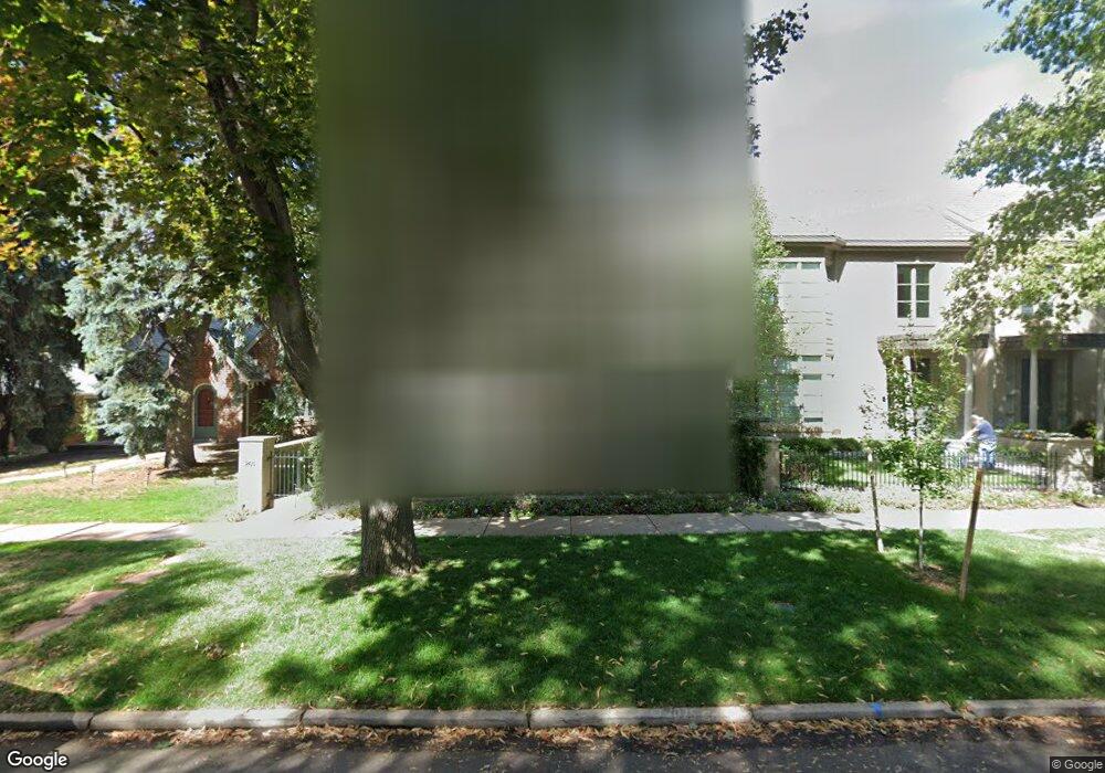
265 Madison St Denver, CO 80206
Cherry Creek NeighborhoodEstimated Value: $1,810,000 - $3,209,000
3
Beds
5
Baths
6,026
Sq Ft
$422/Sq Ft
Est. Value
About This Home
This home is located at 265 Madison St, Denver, CO 80206 and is currently estimated at $2,544,957, approximately $422 per square foot. 265 Madison St is a home located in Denver County with nearby schools including Steck Elementary School, Hill Campus of Arts & Sciences, and George Washington High School.
Ownership History
Date
Name
Owned For
Owner Type
Purchase Details
Closed on
Oct 1, 2009
Sold by
Barnard Harvey P
Bought by
Kassan Gail K and Kassan Stuart S
Current Estimated Value
Home Financials for this Owner
Home Financials are based on the most recent Mortgage that was taken out on this home.
Original Mortgage
$1,080,000
Outstanding Balance
$695,140
Interest Rate
5.12%
Mortgage Type
New Conventional
Estimated Equity
$1,849,817
Purchase Details
Closed on
Sep 11, 1997
Sold by
Barnard Sharon B
Bought by
Barnard Harvey P
Home Financials for this Owner
Home Financials are based on the most recent Mortgage that was taken out on this home.
Original Mortgage
$937,500
Interest Rate
7.48%
Purchase Details
Closed on
Jun 14, 1994
Sold by
400 Columbine Inc
Bought by
Barnard Harvey P and Barnard Sharon B
Create a Home Valuation Report for This Property
The Home Valuation Report is an in-depth analysis detailing your home's value as well as a comparison with similar homes in the area
Home Values in the Area
Average Home Value in this Area
Purchase History
| Date | Buyer | Sale Price | Title Company |
|---|---|---|---|
| Kassan Gail K | $1,350,000 | Land Title Guarantee Company | |
| Barnard Harvey P | -- | Land Title | |
| Barnard Harvey P | $730,000 | Land Title |
Source: Public Records
Mortgage History
| Date | Status | Borrower | Loan Amount |
|---|---|---|---|
| Open | Kassan Gail K | $1,080,000 | |
| Previous Owner | Barnard Harvey P | $937,500 |
Source: Public Records
Tax History
| Year | Tax Paid | Tax Assessment Tax Assessment Total Assessment is a certain percentage of the fair market value that is determined by local assessors to be the total taxable value of land and additions on the property. | Land | Improvement |
|---|---|---|---|---|
| 2025 | $9,729 | $160,400 | $96,880 | $96,880 |
| 2024 | $9,729 | $129,540 | $76,110 | $53,430 |
| 2023 | $9,518 | $129,540 | $76,110 | $53,430 |
| 2022 | $7,512 | $101,410 | $73,220 | $28,190 |
| 2021 | $7,251 | $104,330 | $75,330 | $29,000 |
| 2020 | $7,428 | $100,110 | $62,230 | $37,880 |
| 2019 | $7,220 | $100,110 | $62,230 | $37,880 |
| 2018 | $7,748 | $100,150 | $51,670 | $48,480 |
| 2017 | $7,725 | $100,150 | $51,670 | $48,480 |
| 2016 | $9,416 | $115,470 | $39,275 | $76,195 |
| 2015 | $9,021 | $115,470 | $39,275 | $76,195 |
| 2014 | $7,314 | $88,060 | $29,882 | $58,178 |
Source: Public Records
Map
Nearby Homes
- 3472 E 2nd Ave
- 207 Cook St
- 270 Cook St
- 180 Cook St Unit 509
- 301 Monroe St
- 160 Monroe St
- 343 Garfield St
- 3330 E 4th Ave
- 185 Steele St Unit 303
- 185 Steele St Unit 212
- 185 Steele St Unit 510
- 185 Steele St Unit 406
- 185 Steele St Unit 204
- 185 Steele St Unit 503
- 255 Jackson St
- 155 Steele St Unit 418
- 407 Madison St
- 2 Adams St Unit 108
- 2 Adams St Unit 510
- 2 Adams St Unit 705
Your Personal Tour Guide
Ask me questions while you tour the home.