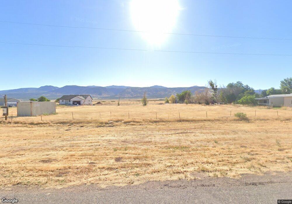
265 S 200 E Kanosh, UT 84637
Estimated Value: $362,000
Studio
--
Bath
--
Sq Ft
28,314
Sq Ft Lot
About This Home
This home is located at 265 S 200 E, Kanosh, UT 84637 and is currently estimated at $362,000. 265 S 200 E is a home located in Millard County.
Ownership History
Date
Name
Owned For
Owner Type
Purchase Details
Closed on
Aug 30, 2021
Sold by
Whatcott Christine
Bought by
Whatcott Cameron Garn and Whatcott Family Trust
Current Estimated Value
Purchase Details
Closed on
Jun 8, 2011
Sold by
Norton Ted L and Norton Donna B
Bought by
Whatcott Christine
Home Financials for this Owner
Home Financials are based on the most recent Mortgage that was taken out on this home.
Original Mortgage
$20,500
Interest Rate
4.63%
Purchase Details
Closed on
Oct 15, 2010
Sold by
Norton Ted L and Norton Donna B
Bought by
Rimington John L
Purchase Details
Closed on
Aug 13, 2009
Sold by
Norton Ted and Norton Donna
Bought by
The Ted And Donna Norton Trust
Create a Home Valuation Report for This Property
The Home Valuation Report is an in-depth analysis detailing your home's value as well as a comparison with similar homes in the area
Purchase History
| Date | Buyer | Sale Price | Title Company |
|---|---|---|---|
| Whatcott Cameron Garn | -- | None Available | |
| Whatcott Christine | -- | -- | |
| Rimington John L | -- | -- | |
| The Ted And Donna Norton Trust | -- | -- |
Source: Public Records
Mortgage History
| Date | Status | Borrower | Loan Amount |
|---|---|---|---|
| Previous Owner | Whatcott Christine | $20,500 |
Source: Public Records
Tax History
| Year | Tax Paid | Tax Assessment Tax Assessment Total Assessment is a certain percentage of the fair market value that is determined by local assessors to be the total taxable value of land and additions on the property. | Land | Improvement |
|---|---|---|---|---|
| 2025 | $462 | $60,509 | $60,509 | $0 |
| 2024 | $462 | $36,972 | $36,972 | $0 |
| 2023 | $612 | $36,972 | $36,972 | $0 |
| 2022 | $315 | $29,576 | $29,576 | $0 |
| 2021 | $284 | $25,719 | $25,719 | $0 |
| 2020 | $256 | $23,381 | $23,381 | $0 |
| 2019 | $233 | $21,450 | $21,450 | $0 |
| 2018 | $207 | $19,500 | $19,500 | $0 |
| 2017 | $216 | $19,500 | $19,500 | $0 |
| 2016 | $156 | $14,625 | $14,625 | $0 |
| 2015 | $156 | $14,625 | $14,625 | $0 |
| 2014 | -- | $14,625 | $14,625 | $0 |
| 2013 | -- | $14,625 | $14,625 | $0 |
Source: Public Records
Map
Nearby Homes
- 58 E 300 South St
- 115 W 200 S
- 73 E 700 S
- 135 E 200 N
- 0 County Road 4616
- Parcel # 8816
- 145 N 200 E
- 80 W 470 N
- 50 N 100 Rd E
- 479 E 100 N
- 1565 W Sunflower Ln Unit 3
- 1615 W Sunflower Ln
- 1615 W Sunflower Ln Unit 4
- 1565 W Sunflower Ln
- 2000 N West Frontage I-15
- 1100 S 725 Rd W
- 310 S 500 West Rd
- 465 S 100 W
- 760 E 700 St S
- 155 E 500 St S
Your Personal Tour Guide
Ask me questions while you tour the home.