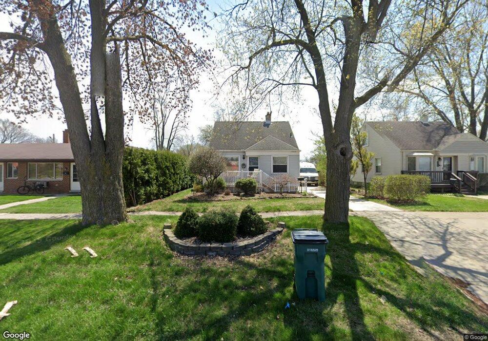
265 W Maple Rd Clawson, MI 48017
Estimated Value: $229,403 - $302,000
3
Beds
1
Bath
980
Sq Ft
$265/Sq Ft
Est. Value
About This Home
This home is located at 265 W Maple Rd, Clawson, MI 48017 and is currently estimated at $259,351, approximately $264 per square foot. 265 W Maple Rd is a home located in Oakland County with nearby schools including Clawson Middle School, Clawson High School, and Guardian Angels School.
Ownership History
Date
Name
Owned For
Owner Type
Purchase Details
Closed on
Oct 9, 2024
Sold by
Carl Bayliss And Denise Bayliss Joint Re and Bayliss Denise
Bought by
Bayliss Denise
Current Estimated Value
Purchase Details
Closed on
Jan 23, 2024
Sold by
Bayliss Carl W
Bought by
Bayliss Carl W and Carl Bayliss And Denise Bayliss Joint Revocab
Create a Home Valuation Report for This Property
The Home Valuation Report is an in-depth analysis detailing your home's value as well as a comparison with similar homes in the area
Home Values in the Area
Average Home Value in this Area
Purchase History
| Date | Buyer | Sale Price | Title Company |
|---|---|---|---|
| Bayliss Denise | -- | None Listed On Document | |
| Bayliss Denise | -- | None Listed On Document | |
| Bayliss Carl W | -- | None Listed On Document |
Source: Public Records
Tax History
| Year | Tax Paid | Tax Assessment Tax Assessment Total Assessment is a certain percentage of the fair market value that is determined by local assessors to be the total taxable value of land and additions on the property. | Land | Improvement |
|---|---|---|---|---|
| 2025 | $2,158 | $101,530 | $0 | $0 |
| 2024 | $2,062 | $96,860 | $0 | $0 |
| 2023 | $1,977 | $90,100 | $0 | $0 |
| 2022 | $1,993 | $83,400 | $0 | $0 |
| 2021 | $1,952 | $77,330 | $0 | $0 |
| 2020 | $1,891 | $72,490 | $0 | $0 |
| 2019 | $1,955 | $68,260 | $0 | $0 |
| 2018 | $1,941 | $62,410 | $0 | $0 |
| 2017 | $1,929 | $59,890 | $0 | $0 |
| 2016 | $1,963 | $55,970 | $0 | $0 |
| 2015 | -- | $40,670 | $0 | $0 |
| 2014 | -- | $39,180 | $0 | $0 |
| 2011 | -- | $38,250 | $0 | $0 |
Source: Public Records
Map
Nearby Homes
- 124 Leroy Ave
- 659 W Maple Rd
- 1345 N Bywood Ave
- 318 Park Dr
- 114 Knollwood Blvd
- 138 Chopin St
- 1087 N Stephen Ave
- 1843 Kirkton Dr
- 1907 Kirkton Dr
- 31 Starr Dr
- 1109 Kenilworth Place
- 35 Starr Dr
- 979 Kirts Blvd Unit 15
- 000 Westwood Dr
- 917 Kenwood St
- 911 Kenwood St
- 909 Kenwood St
- 918 Kenwood St
- 2202 Cook Ct
- 609 John M Ave
- 275 W Maple Rd
- 285 W Maple Rd
- 293 W Maple Rd
- 301 W Maple Rd
- 270 Council Ave
- 254 Council Ave
- 248 Council Ave
- 282 Council Ave
- 315 W Maple Rd
- 246 Council Ave
- 300 Council Ave
- 224 Council Ave
- 1542 N Custer Ave
- 327 W Maple Rd
- 1530 N Custer Ave
- 210 Council Ave
- 1518 N Custer Ave
- 1506 N Custer Ave
- 144 Council Ave
- 134 Council Ave
Your Personal Tour Guide
Ask me questions while you tour the home.