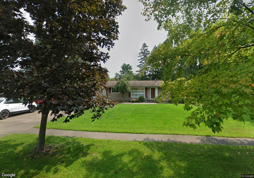
2654 Belleflower Dr Alliance, OH 44601
Estimated Value: $207,990 - $294,000
3
Beds
2
Baths
1,302
Sq Ft
$190/Sq Ft
Est. Value
About This Home
This home is located at 2654 Belleflower Dr, Alliance, OH 44601 and is currently estimated at $247,498, approximately $190 per square foot. 2654 Belleflower Dr is a home located in Stark County with nearby schools including Alliance Elementary School at Rockhill, Alliance Intermediate School at Northside, and Alliance Middle School.
Ownership History
Date
Name
Owned For
Owner Type
Purchase Details
Closed on
Apr 22, 2009
Sold by
Entrikin Jamie M and Entrikin Lisa K
Bought by
Welker Tracy M
Current Estimated Value
Home Financials for this Owner
Home Financials are based on the most recent Mortgage that was taken out on this home.
Original Mortgage
$110,000
Outstanding Balance
$69,947
Interest Rate
5.05%
Mortgage Type
Purchase Money Mortgage
Estimated Equity
$177,551
Purchase Details
Closed on
Aug 30, 1996
Sold by
Scott Jonathan J
Bought by
Entrikin Jamie M and Mayle Lisa
Home Financials for this Owner
Home Financials are based on the most recent Mortgage that was taken out on this home.
Original Mortgage
$68,000
Interest Rate
8.3%
Mortgage Type
New Conventional
Purchase Details
Closed on
Jul 30, 1990
Purchase Details
Closed on
Oct 18, 1988
Create a Home Valuation Report for This Property
The Home Valuation Report is an in-depth analysis detailing your home's value as well as a comparison with similar homes in the area
Home Values in the Area
Average Home Value in this Area
Purchase History
| Date | Buyer | Sale Price | Title Company |
|---|---|---|---|
| Welker Tracy M | $127,000 | Attorney | |
| Entrikin Jamie M | $88,000 | -- | |
| -- | $67,000 | -- | |
| -- | $63,000 | -- |
Source: Public Records
Mortgage History
| Date | Status | Borrower | Loan Amount |
|---|---|---|---|
| Open | Welker Tracy M | $110,000 | |
| Previous Owner | Entrikin Jamie M | $68,000 |
Source: Public Records
Tax History Compared to Growth
Tax History
| Year | Tax Paid | Tax Assessment Tax Assessment Total Assessment is a certain percentage of the fair market value that is determined by local assessors to be the total taxable value of land and additions on the property. | Land | Improvement |
|---|---|---|---|---|
| 2025 | -- | $58,390 | $18,170 | $40,220 |
| 2024 | -- | $58,390 | $18,170 | $40,220 |
| 2023 | $2,096 | $52,150 | $14,140 | $38,010 |
| 2022 | $1,055 | $52,150 | $14,140 | $38,010 |
| 2021 | $2,112 | $52,150 | $14,140 | $38,010 |
| 2020 | $1,917 | $44,210 | $12,290 | $31,920 |
| 2019 | $1,889 | $44,210 | $12,290 | $31,920 |
| 2018 | $1,898 | $44,210 | $12,290 | $31,920 |
| 2017 | $1,804 | $41,340 | $11,340 | $30,000 |
| 2016 | $1,561 | $35,490 | $11,340 | $24,150 |
| 2015 | $1,575 | $35,490 | $11,340 | $24,150 |
| 2014 | $1,510 | $32,380 | $10,360 | $22,020 |
| 2013 | $753 | $32,380 | $10,360 | $22,020 |
Source: Public Records
Map
Nearby Homes
- 2705 Shunk Ave
- 2839 S Rockhill Ave
- 549 Linwood Dr
- 3101 Ridgehill Ave
- 2372 S Union Ave
- 1059 Oakwood Dr
- 2405 Cherry Ave
- 236 E Milton St
- 2460 S Arch Ave
- 884 W College Rd
- 2408 S Linden Ave
- 2112 Blenheim Ave
- 2195 Blenheim Ave
- 277 W Carol St
- 1515 S Rockhill Ave
- 317 E State St
- 112 E College St
- 555 E Milton St
- 2220 Western Ave
- 2218 S Freedom Ave
- 2728 Belleflower Dr
- 2630 Belleflower Dr
- 2645 Shunk Ave
- 2635 Shunk Ave
- 2802 Belleflower Dr
- 2729 Shunk Ave
- 2614 Belleflower Dr
- 2625 Shunk Ave
- 2655 Belleflower Dr
- 2727 Belleflower Dr
- 2613 Shunk Ave
- 2743 Belleflower Dr
- 2812 Belleflower Dr
- 2603 Shunk Ave
- 2550 Belleflower Dr
- 2605 Belleflower Dr
- 2811 Belleflower Dr
- 2553 Shunk Ave
- 2708 Shunk Ave
- 2708 Ridgewood Ave