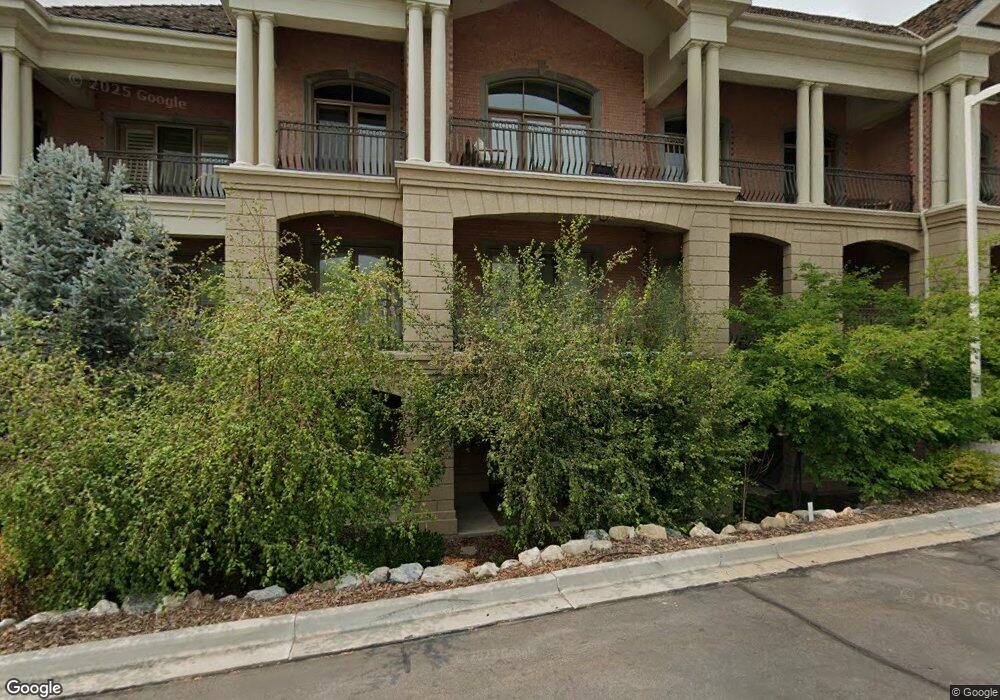
2655 N 140 E Unit 205 Provo, UT 84604
Rock Canyon NeighborhoodEstimated Value: $533,000 - $598,000
2
Beds
3
Baths
1,722
Sq Ft
$332/Sq Ft
Est. Value
About This Home
This home is located at 2655 N 140 E Unit 205, Provo, UT 84604 and is currently estimated at $570,886, approximately $331 per square foot. 2655 N 140 E Unit 205 is a home located in Utah County with nearby schools including Rock Canyon Elementary School, Centennial Middle School, and Timpview High School.
Ownership History
Date
Name
Owned For
Owner Type
Purchase Details
Closed on
May 1, 2024
Sold by
Evans Robert C and Evans Gwen Dana
Bought by
Larry R Dursteler And Tamra F Dursteler Revoc and Dursteler
Current Estimated Value
Purchase Details
Closed on
Sep 15, 2020
Sold by
White Amy
Bought by
Evans Robert C and Evans Gwen Dana
Purchase Details
Closed on
Sep 3, 2015
Sold by
Mithchell Ronald Gordon and Mitchell Paige
Bought by
White Amy
Purchase Details
Closed on
Aug 21, 2013
Sold by
Mitchell Ronald Gordon
Bought by
Mitchell Ronald Gordon and Mitchell Paige
Purchase Details
Closed on
Aug 14, 2013
Sold by
Country Club Villas Llc
Bought by
Mitchell Ronald Gordon
Create a Home Valuation Report for This Property
The Home Valuation Report is an in-depth analysis detailing your home's value as well as a comparison with similar homes in the area
Home Values in the Area
Average Home Value in this Area
Purchase History
| Date | Buyer | Sale Price | Title Company |
|---|---|---|---|
| Larry R Dursteler And Tamra F Dursteler Revoc | -- | Masters Title | |
| Evans Robert C | -- | Meridian Title Co | |
| White Amy | -- | None Available | |
| White Amy | -- | Backman Title Services Ltd | |
| Mitchell Ronald Gordon | -- | First American Title Company | |
| Mitchell Ronald Gordon | -- | First American Title |
Source: Public Records
Tax History Compared to Growth
Tax History
| Year | Tax Paid | Tax Assessment Tax Assessment Total Assessment is a certain percentage of the fair market value that is determined by local assessors to be the total taxable value of land and additions on the property. | Land | Improvement |
|---|---|---|---|---|
| 2025 | $2,909 | $288,750 | $58,300 | $466,700 |
| 2024 | $2,888 | $286,330 | $0 | $0 |
| 2023 | $2,888 | $280,280 | $0 | $0 |
| 2022 | $3,215 | $314,600 | $0 | $0 |
| 2021 | $2,703 | $461,300 | $55,400 | $405,900 |
| 2020 | $2,666 | $426,500 | $51,200 | $375,300 |
| 2019 | $2,320 | $386,000 | $57,900 | $328,100 |
| 2018 | $2,080 | $351,000 | $66,600 | $284,400 |
| 2017 | $2,082 | $193,050 | $0 | $0 |
| 2016 | $2,068 | $178,750 | $0 | $0 |
| 2015 | $1,782 | $155,650 | $0 | $0 |
| 2014 | $1,709 | $155,650 | $0 | $0 |
Source: Public Records
Map
Nearby Homes
- 2244 N Canyon Rd Unit 305
- 2244 N Canyon Rd Unit 207
- 2823 N Marrcrest E
- 2774 N 370 E
- 2254 N 390 E
- 2295 N 470 E
- 2939 N Marrcrest Dr W
- 1636 N 320 E Unit 5
- 1660 N 320 E Unit 3
- 1648 N 320 E Unit 4
- 1625 N 320 E Unit 1
- 1624 N 320 E Unit 6
- 1615 N 320 E Unit 1
- 1612 N 320 E Unit RES
- 186 E 2100 N
- 182 E 2090 N
- 614 E Normandy Dr
- 435 E 2100 N
- 3057 N 100 W
- 664 E 2320 N