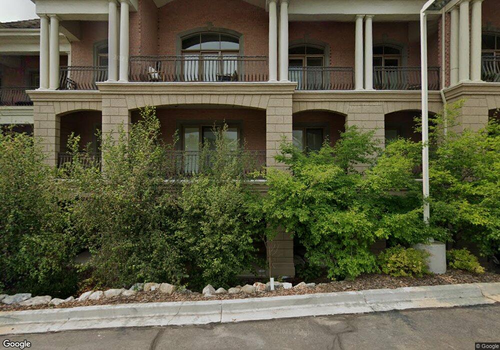
2655 N 140 E Provo, UT 84604
Rock Canyon NeighborhoodEstimated Value: $639,000 - $680,000
3
Beds
1
Bath
2,717
Sq Ft
$244/Sq Ft
Est. Value
About This Home
This home is located at 2655 N 140 E, Provo, UT 84604 and is currently estimated at $663,974, approximately $244 per square foot. 2655 N 140 E is a home located in Utah County with nearby schools including Rock Canyon Elementary School, Centennial Middle School, and Timpview High School.
Ownership History
Date
Name
Owned For
Owner Type
Purchase Details
Closed on
Feb 5, 2019
Sold by
Mendez Harrison John Robert and Mendez Harrison Heidid
Bought by
Grosby Gary B and Grosby Innette R
Current Estimated Value
Purchase Details
Closed on
Apr 12, 2018
Sold by
Harrison John Robert and Harrison Heidi Mendez
Bought by
The Gary And Innette Crosby Family Trust
Purchase Details
Closed on
Oct 14, 2014
Sold by
Collins Richard E and Collins Kay A
Bought by
Harrison John Robert and Harrison Heidi Mendez
Home Financials for this Owner
Home Financials are based on the most recent Mortgage that was taken out on this home.
Original Mortgage
$398,800
Interest Rate
4.08%
Mortgage Type
New Conventional
Purchase Details
Closed on
May 19, 2010
Sold by
Country Club Villas Llc
Bought by
Collins Richard E and Collins Kay A
Create a Home Valuation Report for This Property
The Home Valuation Report is an in-depth analysis detailing your home's value as well as a comparison with similar homes in the area
Home Values in the Area
Average Home Value in this Area
Purchase History
| Date | Buyer | Sale Price | Title Company |
|---|---|---|---|
| Grosby Gary B | -- | Inwest Title | |
| The Gary And Innette Crosby Family Trust | -- | Inwest Title | |
| Harrison John Robert | -- | Utah First Title Ins Ag | |
| Collins Richard E | -- | First American Ncs South |
Source: Public Records
Mortgage History
| Date | Status | Borrower | Loan Amount |
|---|---|---|---|
| Previous Owner | Harrison John Robert | $398,800 |
Source: Public Records
Tax History
| Year | Tax Paid | Tax Assessment Tax Assessment Total Assessment is a certain percentage of the fair market value that is determined by local assessors to be the total taxable value of land and additions on the property. | Land | Improvement |
|---|---|---|---|---|
| 2025 | $6,711 | $646,900 | $71,900 | $575,000 |
| 2024 | $7,524 | $660,600 | $0 | $0 |
| 2023 | $7,524 | $730,100 | $0 | $0 |
| 2022 | $8,609 | $842,400 | $84,200 | $758,200 |
| 2021 | $3,981 | $679,400 | $81,500 | $597,900 |
| 2020 | $3,927 | $628,200 | $75,400 | $552,800 |
| 2019 | $3,417 | $568,500 | $85,300 | $483,200 |
| 2018 | $3,062 | $516,700 | $112,400 | $404,300 |
| 2017 | $3,065 | $284,185 | $0 | $0 |
| 2016 | $3,045 | $263,120 | $0 | $0 |
| 2015 | $3,012 | $263,120 | $0 | $0 |
| 2014 | $2,890 | $263,120 | $0 | $0 |
Source: Public Records
Map
Nearby Homes
- 2735 N Country Club Dr
- 2774 N 370 E
- 240 E 2230 N Unit 7
- 2254 N 390 E
- 2939 N Marrcrest Dr W
- 186 E 2100 N
- 2999 N Marrcrest West Dr
- 3013 N 100 W
- 182 E 2090 N
- 3025 N 250 E
- 223 W 2230 N Unit 14
- 241 W 2230 N Unit 16
- 3057 N 100 W
- 1960 N Canyon Rd
- 3221 Shadowbrook Cir
- 3240 Shadowbrook Dr
- 788 E 2680 N
- 111 Candlewood Place
- 3305 N Shadowbrook Cir
- 360 Sumac Ln
Your Personal Tour Guide
Ask me questions while you tour the home.