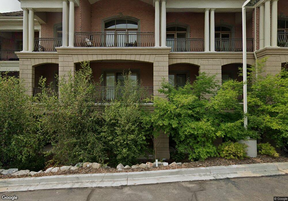
2655 N 140 E Provo, UT 84604
Rock Canyon NeighborhoodEstimated Value: $539,000 - $590,000
2
Beds
1
Bath
1,644
Sq Ft
$343/Sq Ft
Est. Value
About This Home
This home is located at 2655 N 140 E, Provo, UT 84604 and is currently estimated at $564,255, approximately $343 per square foot. 2655 N 140 E is a home located in Utah County with nearby schools including Rock Canyon Elementary School, Centennial Middle School, and Timpview High School.
Ownership History
Date
Name
Owned For
Owner Type
Purchase Details
Closed on
Jun 23, 2025
Sold by
Young Benjamin L and Young Caralee E
Bought by
Young Asset Protection Trust and Young
Current Estimated Value
Purchase Details
Closed on
Jun 1, 2022
Sold by
Michele Myer
Bought by
Young Benjamin L and Young Caralee E
Home Financials for this Owner
Home Financials are based on the most recent Mortgage that was taken out on this home.
Original Mortgage
$359,970
Interest Rate
5.27%
Mortgage Type
VA
Create a Home Valuation Report for This Property
The Home Valuation Report is an in-depth analysis detailing your home's value as well as a comparison with similar homes in the area
Home Values in the Area
Average Home Value in this Area
Purchase History
| Date | Buyer | Sale Price | Title Company |
|---|---|---|---|
| Young Asset Protection Trust | -- | None Listed On Document | |
| Young Benjamin L | -- | None Listed On Document |
Source: Public Records
Mortgage History
| Date | Status | Borrower | Loan Amount |
|---|---|---|---|
| Previous Owner | Young Benjamin L | $359,970 |
Source: Public Records
Tax History
| Year | Tax Paid | Tax Assessment Tax Assessment Total Assessment is a certain percentage of the fair market value that is determined by local assessors to be the total taxable value of land and additions on the property. | Land | Improvement |
|---|---|---|---|---|
| 2025 | $2,909 | $288,750 | -- | -- |
| 2024 | $2,909 | $286,330 | $0 | $0 |
| 2023 | $2,888 | $280,280 | $0 | $0 |
| 2022 | $3,248 | $317,845 | $0 | $0 |
| 2021 | $2,731 | $466,000 | $55,900 | $410,100 |
| 2020 | $2,693 | $430,900 | $51,700 | $379,200 |
| 2019 | $2,344 | $390,000 | $58,500 | $331,500 |
| 2018 | $2,099 | $354,200 | $66,600 | $287,600 |
| 2017 | $2,101 | $194,810 | $0 | $0 |
| 2016 | $2,087 | $180,400 | $0 | $0 |
| 2015 | $2,065 | $180,400 | $0 | $0 |
| 2014 | $1,709 | $155,650 | $0 | $0 |
Source: Public Records
Map
Nearby Homes
- 2735 N Country Club Dr
- 2774 N 370 E
- 2939 N Marrcrest Dr W
- 3013 N 100 W
- 2999 N Marrcrest West Dr
- 3025 N 250 E
- 2254 N 390 E
- 3057 N 100 W
- 186 E 2100 N
- 223 W 2230 N Unit 14
- 182 E 2090 N
- 241 W 2230 N Unit 16
- 3240 Shadowbrook Dr
- 111 Candlewood Place
- 3305 N Shadowbrook Cir
- 788 E 2680 N
- 758 E 3030 N
- 1311 S 1100 E
- 431 W 2310 N
- 158 Woodside Dr
Your Personal Tour Guide
Ask me questions while you tour the home.