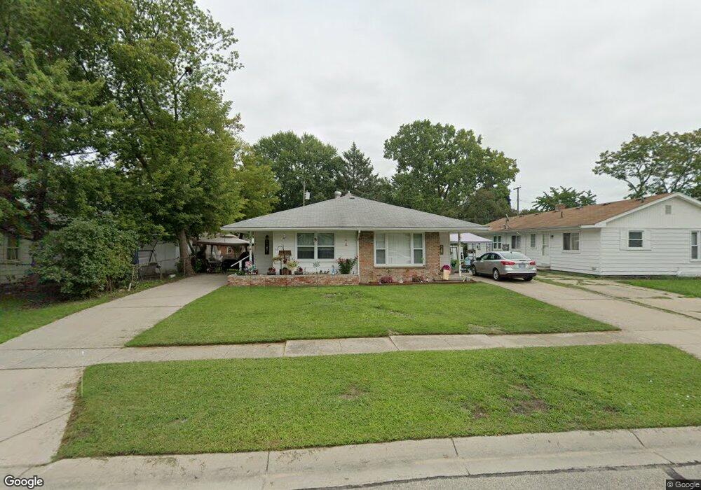
2656 E Rick Dr Unit 26 Port Huron, MI 48060
Estimated Value: $150,719 - $178,000
2
Beds
2
Baths
1,728
Sq Ft
$94/Sq Ft
Est. Value
About This Home
This home is located at 2656 E Rick Dr Unit 26, Port Huron, MI 48060 and is currently estimated at $161,930, approximately $93 per square foot. 2656 E Rick Dr Unit 26 is a home located in St. Clair County with nearby schools including Michigamme Elementary School, Central Middle School, and Port Huron High School.
Ownership History
Date
Name
Owned For
Owner Type
Purchase Details
Closed on
Dec 10, 2018
Sold by
Asset Link Llc
Bought by
Element Assets Llc
Current Estimated Value
Purchase Details
Closed on
Aug 20, 2015
Sold by
Myers Ward and Myers Kim
Bought by
Federal National Mortgage Association
Purchase Details
Closed on
Oct 23, 2006
Sold by
Castle Management Of Fort Huron Llc
Bought by
Myers Ward and Myers Kim
Home Financials for this Owner
Home Financials are based on the most recent Mortgage that was taken out on this home.
Original Mortgage
$112,000
Interest Rate
6.5%
Mortgage Type
Future Advance Clause Open End Mortgage
Create a Home Valuation Report for This Property
The Home Valuation Report is an in-depth analysis detailing your home's value as well as a comparison with similar homes in the area
Home Values in the Area
Average Home Value in this Area
Purchase History
| Date | Buyer | Sale Price | Title Company |
|---|---|---|---|
| Element Assets Llc | $35,000 | None Listed On Document | |
| Federal National Mortgage Association | $33,571 | None Available | |
| Myers Ward | -- | None Available |
Source: Public Records
Mortgage History
| Date | Status | Borrower | Loan Amount |
|---|---|---|---|
| Previous Owner | Myers Ward | $112,000 |
Source: Public Records
Tax History
| Year | Tax Paid | Tax Assessment Tax Assessment Total Assessment is a certain percentage of the fair market value that is determined by local assessors to be the total taxable value of land and additions on the property. | Land | Improvement |
|---|---|---|---|---|
| 2025 | $2,942 | $68,800 | $0 | $0 |
| 2024 | $2,864 | $66,000 | $0 | $0 |
| 2023 | $2,712 | $58,800 | $0 | $0 |
| 2022 | $2,774 | $51,000 | $0 | $0 |
| 2020 | $2,658 | $44,500 | $44,500 | $0 |
| 2019 | $2,610 | $32,800 | $0 | $0 |
| 2018 | $2,138 | $32,800 | $0 | $0 |
| 2017 | $1,962 | $29,800 | $0 | $0 |
| 2016 | $1,556 | $29,800 | $0 | $0 |
| 2015 | $1,526 | $29,800 | $29,800 | $0 |
| 2014 | $1,526 | $28,500 | $28,500 | $0 |
| 2013 | -- | $27,900 | $0 | $0 |
Source: Public Records
Map
Nearby Homes
- 1403 Catherine McAuley Dr
- 1218 Center Ave
- 1127 Vanderburgh Place
- 1334 Beard St
- 2712 Military St
- 2704 Military St
- 2894 Military St
- 918 Vanderburgh Place
- 835 Vanderburgh Place
- 2444 Military St
- 3136 Military St
- 1026 Bancroft St
- 1127 Minnie St
- 1825 16th St
- 1831 11th St
- 1804 12th St
- 738 Bancroft St
- 825 Minnie St
- Lot 3 24th St
- 1909 Minnie St
- 2660 E Rick Dr
- 1320 Thomson Ave Unit 1322
- 2702 E Rick Dr
- 2647 13th St
- 2663 E Rick Dr
- 2641 13th St
- 2635 13th St
- 2657 E Rick Dr
- 2671 E Rick Dr
- 2708 E Rick Dr
- 2651 E Rick Dr
- 1317 Thomson Ave
- 2647 E Rick Dr
- 2714 E Rick Dr
- 2655 13th St
- 2636 13th St
- 2715 E Rick Dr
- 2635 E Rick Dr
- 2718 E Rick Dr
- 2613 13th St
Your Personal Tour Guide
Ask me questions while you tour the home.