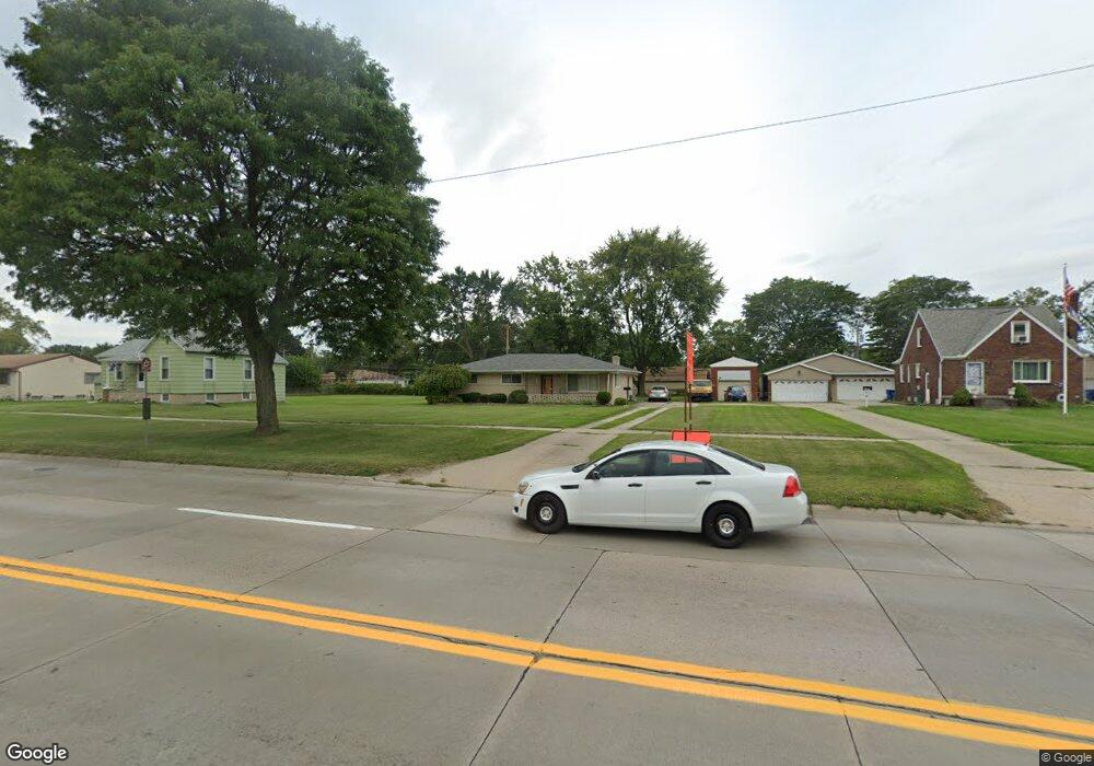
26575 Schoenherr Rd Warren, MI 48089
Southeast Warren NeighborhoodEstimated Value: $222,000 - $290,000
3
Beds
2
Baths
1,588
Sq Ft
$158/Sq Ft
Est. Value
About This Home
This home is located at 26575 Schoenherr Rd, Warren, MI 48089 and is currently estimated at $251,464, approximately $158 per square foot. 26575 Schoenherr Rd is a home located in Macomb County with nearby schools including Warren Woods Tower High School and Frontier International Academy Elementary.
Ownership History
Date
Name
Owned For
Owner Type
Purchase Details
Closed on
Aug 9, 2022
Sold by
Trott Carolyn D and Lee Clarence
Bought by
Trott Carolyn D and Trott Dean William
Current Estimated Value
Purchase Details
Closed on
Jul 7, 2022
Sold by
Trott Carolyn D
Bought by
Trott Carolyn D
Purchase Details
Closed on
Dec 19, 2005
Sold by
Trott Carolyn D and Alexander Dorothy
Bought by
Trott Clarence L and Trott Carolyn D
Purchase Details
Closed on
Oct 18, 2005
Sold by
Trott Carolyn D and Alexander Dorothy
Bought by
Trott Clarence L and Trott Carolyn D
Create a Home Valuation Report for This Property
The Home Valuation Report is an in-depth analysis detailing your home's value as well as a comparison with similar homes in the area
Home Values in the Area
Average Home Value in this Area
Purchase History
| Date | Buyer | Sale Price | Title Company |
|---|---|---|---|
| Trott Carolyn D | -- | None Listed On Document | |
| Trott Carolyn D | -- | Michigan Land Title | |
| Trott Clarence L | -- | -- | |
| Trott Clarence L | -- | -- |
Source: Public Records
Tax History Compared to Growth
Tax History
| Year | Tax Paid | Tax Assessment Tax Assessment Total Assessment is a certain percentage of the fair market value that is determined by local assessors to be the total taxable value of land and additions on the property. | Land | Improvement |
|---|---|---|---|---|
| 2025 | $3,402 | $132,380 | $0 | $0 |
| 2024 | $3,306 | $117,710 | $0 | $0 |
| 2023 | $3,123 | $107,330 | $0 | $0 |
| 2022 | $4,001 | $96,090 | $0 | $0 |
| 2021 | $3,958 | $92,020 | $0 | $0 |
| 2020 | $3,833 | $90,280 | $0 | $0 |
| 2019 | $3,702 | $86,270 | $0 | $0 |
| 2018 | $82 | $63,830 | $0 | $0 |
| 2017 | $2,628 | $60,230 | $11,410 | $48,820 |
| 2016 | $2,608 | $60,230 | $0 | $0 |
| 2015 | -- | $55,760 | $0 | $0 |
| 2012 | -- | $51,330 | $0 | $0 |
Source: Public Records
Map
Nearby Homes
- 26640 Schoenherr Rd
- 13144 Stamford Ave
- 13171 Burgundy Ave
- 13194 Burgundy Ave
- 13696 Harthill Ave
- 13734 Herbert Ave
- 0000 Frazho Rd
- 13203 Frazho Rd
- 26515 Newport Ave
- 27052 Sutherland Dr
- 27226 Bradner Dr
- 13653 Brainbridge Ave
- 13429 Zagaiski Ave
- 13342 De Mott Dr
- 13510 Angela Dr
- 13858 Arnold Dr
- 12922 Heritage S Unit 54
- 12291 E 11 Mile Rd
- 13517 Yvonne Dr
- 26443 Marilyn Ave
- 26601 Schoenherr Rd
- 26539 Schoenherr Rd
- 26631 Schoenherr Rd
- 13329 Bloomfield Ave
- 13341 Bloomfield Ave
- 13317 Bloomfield Ave
- 13353 Bloomfield Ave
- 26525 Schoenherr Rd
- 26649 Schoenherr Rd
- 26511 Schoenherr Rd
- 0&00 Schoenherr Rd
- 13377 Bloomfield Ave
- 26600 Schoenherr Rd
- 13650 McKinley Ave Frn
- 26491 Schoenherr Rd
- 13650 Mckinley Ave
- 13650 Mckinley Ave
- 13650 Mckinley Ave Unit A
- 13277 Bloomfield Ave
- 13328 Bloomfield Ave