26577 N Highway 1 Fort Bragg, CA 95437
Estimated Value: $313,000 - $1,153,000
--
Bed
--
Bath
--
Sq Ft
5
Acres
About This Home
This home is located at 26577 N Highway 1, Fort Bragg, CA 95437 and is currently estimated at $699,216. 26577 N Highway 1 is a home located in Mendocino County with nearby schools including Fort Bragg High School.
Ownership History
Date
Name
Owned For
Owner Type
Purchase Details
Closed on
Aug 16, 2016
Sold by
Gealey David and Brogan Maureen
Bought by
Gealey David John and The David John Gealey Living T
Current Estimated Value
Purchase Details
Closed on
May 10, 2014
Sold by
Montero Lawrence Charles
Bought by
Gealey David and Gealey Maureen
Purchase Details
Closed on
Dec 4, 2010
Sold by
Campbell Mary Elizabeth and Jacobson Mary Elizabeth
Bought by
Montero Lawrence Charles
Purchase Details
Closed on
Apr 23, 1997
Sold by
Jacobson Albert V
Bought by
Jacobson Mary E and Campbell Mary Elizabeth
Create a Home Valuation Report for This Property
The Home Valuation Report is an in-depth analysis detailing your home's value as well as a comparison with similar homes in the area
Home Values in the Area
Average Home Value in this Area
Purchase History
| Date | Buyer | Sale Price | Title Company |
|---|---|---|---|
| Gealey David John | -- | Redwood Empire Title | |
| Gealey David | $315,000 | First American Title Company | |
| Montero Lawrence Charles | -- | First American Title Company | |
| Montero Lawrence Charles | -- | None Available | |
| Jacobson Mary E | -- | None Available |
Source: Public Records
Tax History Compared to Growth
Tax History
| Year | Tax Paid | Tax Assessment Tax Assessment Total Assessment is a certain percentage of the fair market value that is determined by local assessors to be the total taxable value of land and additions on the property. | Land | Improvement |
|---|---|---|---|---|
| 2025 | $4,410 | $386,135 | $263,554 | $122,581 |
| 2023 | $4,410 | $371,143 | $253,321 | $117,822 |
| 2022 | $4,387 | $363,866 | $248,354 | $115,512 |
| 2021 | $4,131 | $356,733 | $243,485 | $113,248 |
| 2020 | $4,044 | $353,074 | $240,987 | $112,087 |
| 2019 | $3,990 | $346,154 | $236,264 | $109,890 |
| 2018 | $3,918 | $339,368 | $231,632 | $107,736 |
| 2017 | $3,826 | $332,716 | $227,092 | $105,624 |
| 2016 | $3,752 | $326,192 | $222,639 | $103,553 |
| 2015 | $3,693 | $321,294 | $219,296 | $101,998 |
| 2014 | $3,940 | $344,587 | $169,782 | $174,805 |
Source: Public Records
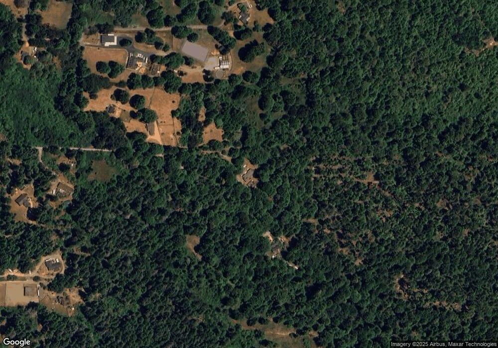
Map
Nearby Homes
- 32800 Sutliff Ln
- 33051 Beal Ln
- 25820 Ward Ave
- 32551 Mill Creek Dr
- 31801 Westwood Dr
- 32200 Westwood Dr
- 23800 N Highway 1
- 23401 N Highway 1
- 32000 Airport Rd
- 1261 N Main St
- 1184 N Main St Unit 1
- 944 Stewart St
- 924 Glass Beach Dr
- 545 N Mcpherson St
- 715 West St
- 119 E Pine St
- 423 N Franklin St
- 215 S Sanderson Way
- 142 S Franklin St
- 251 S Franklin St
- 26573 N Highway 1
- 26573 California 1
- 26571 N Highway 1
- 26767 N Highway 1
- 26585 N Highway 1
- 26581 N Highway 1
- 26581 N Ca-1
- 26777 N Highway 1
- 26551 N Highway 1
- 26450 Blueberry Hill Rd
- 26281 Omar Dr
- 26400 Blueberry Hill Rd
- 26500 Blueberry Hill Rd
- 26261 Omar Dr
- 26360 Blueberry Hill Rd
- 26701 N Highway 1
- 26401 Blueberry Hill Rd
- 26361 Blueberry Hill Rd
- 26340 Blueberry Hill Rd
- 26251 Omar Dr