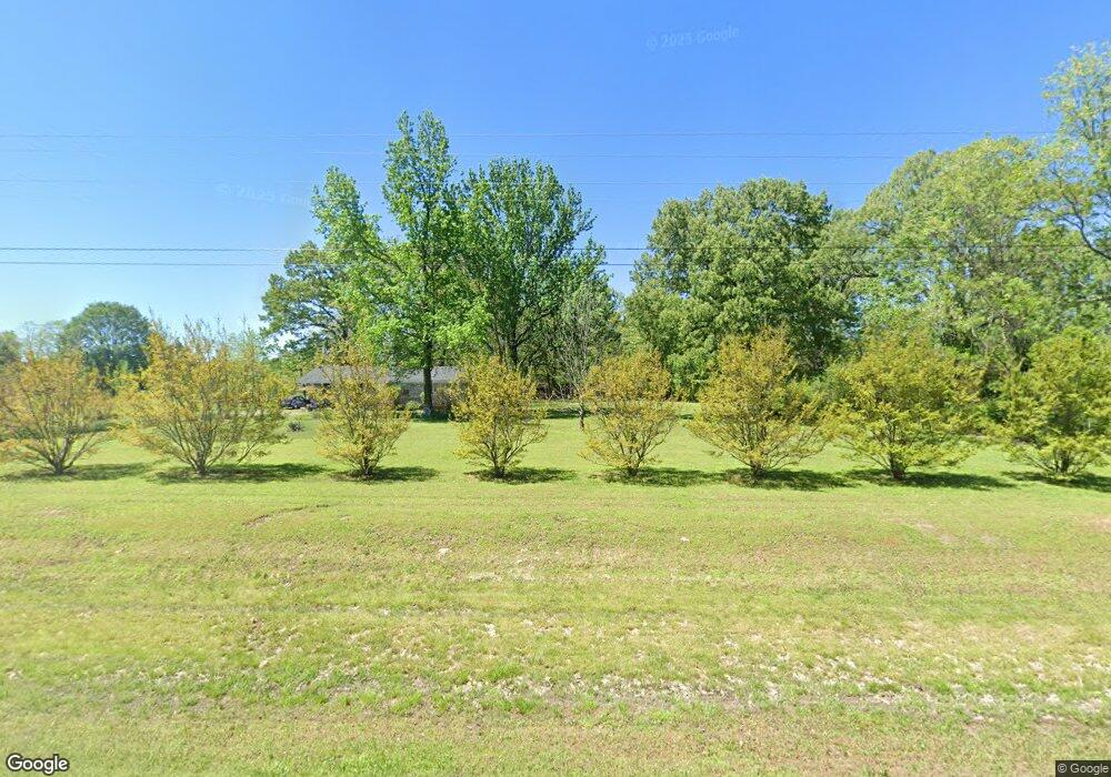
2658 Highway 154 Morrilton, AR 72110
Estimated Value: $43,114 - $268,000
--
Bed
1
Bath
1,862
Sq Ft
$86/Sq Ft
Est. Value
About This Home
This home is located at 2658 Highway 154, Morrilton, AR 72110 and is currently estimated at $159,529, approximately $85 per square foot. 2658 Highway 154 is a home located in Conway County with nearby schools including Morrilton Primary School, Morrilton Elementary School, and Morrilton Intermediate School.
Ownership History
Date
Name
Owned For
Owner Type
Purchase Details
Closed on
Dec 18, 2012
Sold by
Petit Jean State Bank
Bought by
Crowder Charles Derrick
Current Estimated Value
Home Financials for this Owner
Home Financials are based on the most recent Mortgage that was taken out on this home.
Original Mortgage
$14,922
Outstanding Balance
$10,363
Interest Rate
3.42%
Estimated Equity
$149,166
Purchase Details
Closed on
Apr 23, 2007
Sold by
Price Tim H and Price Rita M
Bought by
Pruitt Danniella and Price Donranda
Purchase Details
Closed on
Sep 17, 1997
Bought by
Price Tim H
Create a Home Valuation Report for This Property
The Home Valuation Report is an in-depth analysis detailing your home's value as well as a comparison with similar homes in the area
Home Values in the Area
Average Home Value in this Area
Purchase History
| Date | Buyer | Sale Price | Title Company |
|---|---|---|---|
| Crowder Charles Derrick | -- | -- | |
| Pruitt Danniella | -- | -- | |
| Price Tim H | $15,300 | -- |
Source: Public Records
Mortgage History
| Date | Status | Borrower | Loan Amount |
|---|---|---|---|
| Open | Crowder Charles Derrick | $14,922 |
Source: Public Records
Tax History Compared to Growth
Tax History
| Year | Tax Paid | Tax Assessment Tax Assessment Total Assessment is a certain percentage of the fair market value that is determined by local assessors to be the total taxable value of land and additions on the property. | Land | Improvement |
|---|---|---|---|---|
| 2025 | -- | $2,960 | $2,560 | $400 |
| 2024 | -- | $2,960 | $2,560 | $400 |
| 2023 | $0 | $2,960 | $2,560 | $400 |
| 2022 | $0 | $2,960 | $2,560 | $400 |
| 2021 | $6 | $2,760 | $2,360 | $400 |
| 2020 | $0 | $2,760 | $2,360 | $400 |
| 2019 | $0 | $2,760 | $2,360 | $400 |
| 2018 | $0 | $2,760 | $2,360 | $400 |
| 2017 | $0 | $2,760 | $2,360 | $400 |
| 2016 | $0 | $2,960 | $2,560 | $400 |
| 2015 | -- | $2,960 | $2,560 | $400 |
| 2014 | -- | $2,960 | $2,560 | $400 |
Source: Public Records
Map
Nearby Homes
- 53 64 75 Pawpaw Bend Rd
- 1284 Winrock Dr
- 22 Tanglewood Ave
- 1097 Winrock Dr
- 965 Winrock Dr
- 222 Riverview Rd
- 22 Wildwood Vista
- 816 Winrock Dr
- 378 Arkansas 9
- 11 Earl St
- 160 Acres America Rd
- 18 Lost Cabin Rd
- 23 Bryant Ave
- Lot 116 Country View Ct
- 36 Par Ct
- 00 N Ridge Rd
- 308 5th Ave
- TBD Burrow
- Block 1 Lots 16 & 17
- Block 1 Lots 13 & 14
